File:Geographischer Bilderatlas des polnisch-weissrussischen Grenzgebietes 1918 (116715166).jpg
Jump to navigation
Jump to search

Size of this preview: 400 × 600 pixels. Other resolutions: 160 × 240 pixels | 320 × 480 pixels | 512 × 768 pixels | 683 × 1,024 pixels | 1,366 × 2,048 pixels | 3,028 × 4,540 pixels.
Original file (3,028 × 4,540 pixels, file size: 2.59 MB, MIME type: image/jpeg)
Captions
Captions
Add a one-line explanation of what this file represents
| Geographischer Bilderatlas des polnisch-weissrussischen Grenzgebietes | ||||||||||||||||||||||||
|---|---|---|---|---|---|---|---|---|---|---|---|---|---|---|---|---|---|---|---|---|---|---|---|---|
| Author |
Bernhard Brandt |
|||||||||||||||||||||||
| Title |
Geographischer Bilderatlas des polnisch-weissrussischen Grenzgebietes |
|||||||||||||||||||||||
| Series title | Reihe B Bd. 6 | |||||||||||||||||||||||
| Publisher |
Gea Verlag |
|||||||||||||||||||||||
| Description |
Polski: Adres wydawniczy: Berlin : Gea Verlag, 1918 (Potsdam : E. Stein) Opis fizyczny: IX, [1], 124 s., 1 k. tabl. : il. ; 26 cm |
|||||||||||||||||||||||
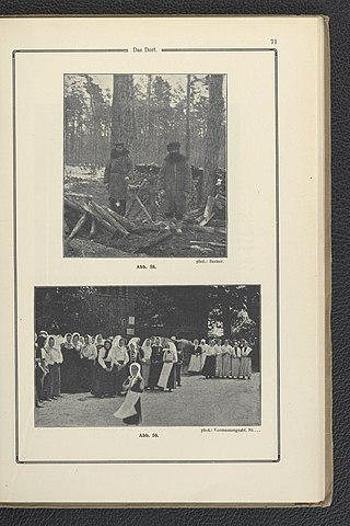
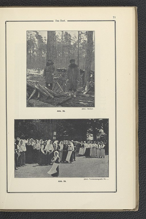
| Page overview | 71 | |||||||||||||||||||||||
| Language | German | |||||||||||||||||||||||
| Publication date | 1918 | |||||||||||||||||||||||
| Collection |
|
|||||||||||||||||||||||
| Accession number |
2.010.183 A |
|||||||||||||||||||||||
| Place of publication | Berlin | |||||||||||||||||||||||
| Source |
|
|||||||||||||||||||||||
| Permission (Reusing this file) |
|
|||||||||||||||||||||||


|
This file was uploaded to Wikimedia Commons as part of a GLAM-Wiki partnership between the National Library of Poland and Wikimedia Polska.
|
File history
Click on a date/time to view the file as it appeared at that time.
| Date/Time | Thumbnail | Dimensions | User | Comment | |
|---|---|---|---|---|---|
| current | 15:22, 6 September 2021 | | 3,028 × 4,540 (2.59 MB) | Polona Upload (talk | contribs) |
You cannot overwrite this file.
File usage on Commons
The following page uses this file:
.jpg)
.jpg&oldid=589207690)