File:Geolocalisation du Gers.svg
Jump to navigation
Jump to search

Size of this PNG preview of this SVG file: 785 × 600 pixels. Other resolutions: 314 × 240 pixels | 629 × 480 pixels | 1,006 × 768 pixels | 1,280 × 978 pixels | 2,560 × 1,956 pixels | 953 × 728 pixels.
Original file (SVG file, nominally 953 × 728 pixels, file size: 607 KB)
Captions
Captions
Add a one-line explanation of what this file represents
Summary
[edit]| Description |
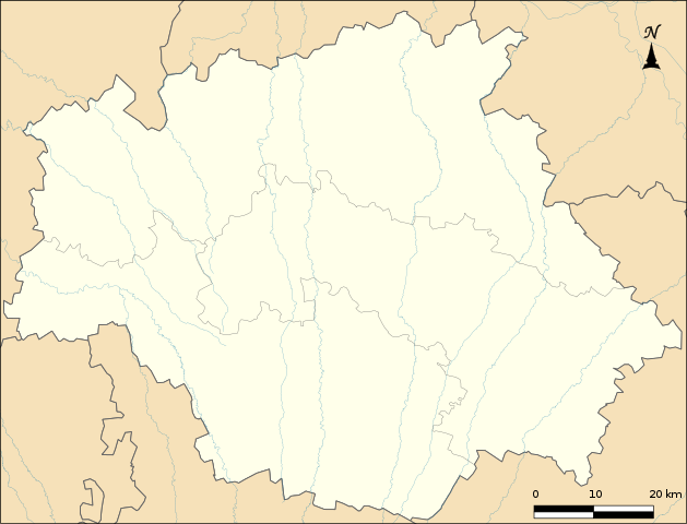
Français : Limites administratives du Gers pour géolocalisation. |
| Date | |
| Source |
Own work Hydrographie : Données SANDRE ; Limites administratives : IGN-GEOFLA. Coordonnées : x min -0.28933 x max 1.21107 y min 43.30702 y max 44.09513 |
| Author | Boldair |
Licensing
[edit]I, the copyright holder of this work, hereby publish it under the following license:
This file is licensed under the Creative Commons Attribution-Share Alike 4.0 International license.
- You are free:
- to share – to copy, distribute and transmit the work
- to remix – to adapt the work
- Under the following conditions:
- attribution – You must give appropriate credit, provide a link to the license, and indicate if changes were made. You may do so in any reasonable manner, but not in any way that suggests the licensor endorses you or your use.
- share alike – If you remix, transform, or build upon the material, you must distribute your contributions under the same or compatible license as the original.

File history
Click on a date/time to view the file as it appeared at that time.
| Date/Time | Thumbnail | Dimensions | User | Comment | |
|---|---|---|---|---|---|
| current | 10:21, 15 March 2022 | | 953 × 728 (607 KB) | Xfigpower (talk | contribs) | +limites des arrondissements |
| 08:29, 29 August 2014 |  | 953 × 728 (587 KB) | Boldair (talk | contribs) | User created page with UploadWizard |
You cannot overwrite this file.
File usage on Commons
The following 2 pages use this file:
File usage on other wikis
The following other wikis use this file:
- Usage on eo.wikipedia.org
- Usage on fr.wikipedia.org
- Abbaye de Flaran
- Castelnau-d'Auzan
- Labarrère (Gers)
- Cannet (Gers)
- Tour de Termes-d'Armagnac
- Liste des commanderies templières en Midi-Pyrénées
- Artiguedieu
- Lagraulas
- Berdoues-Ponsampère
- Monties-Aussos
- Arcamont
- La Cavalerie (Gers)
- Torrebren
- Abbaye de Boulaur
- Villa gallo-romaine de Séviac
- Stade Jacques-Fouroux
- Larroucau
- Musée de l'Armagnac
- Château de Loubersan
- Projet:Cartographie/Cartes standards/France
- Château du Bartas
- Sanctuaire Notre-Dame du Bernet en Dému
- Château de Castelmore
- Château de Sainte-Mère
- Projet:Cartographie/Géolocalisation/Maintenance/Images des départements français
- Château de Plieux
- Château d'Ampelle
- Château de Rouillac
- Château de Terraube
- Château d'Avezan
- Château de Mansencôme
- Château de Lagardère
- Abbaye de Bouillas
- Abbaye de Planselve
View more global usage of this file.