File:Georgia 120.svg
Aller à la navigation
Aller à la recherche

Taille de cet aperçu PNG pour ce fichier SVG : 750 × 600 pixels. Autres résolutions : 300 × 240 pixels | 600 × 480 pixels | 960 × 768 pixels | 1 280 × 1 024 pixels | 2 560 × 2 048 pixels.
Fichier d’origine (Fichier SVG, nominalement de 750 × 600 pixels, taille : 6 kio)
Légendes
Légendes
Ajoutez en une ligne la description de ce que représente ce fichier
Description[modifier]
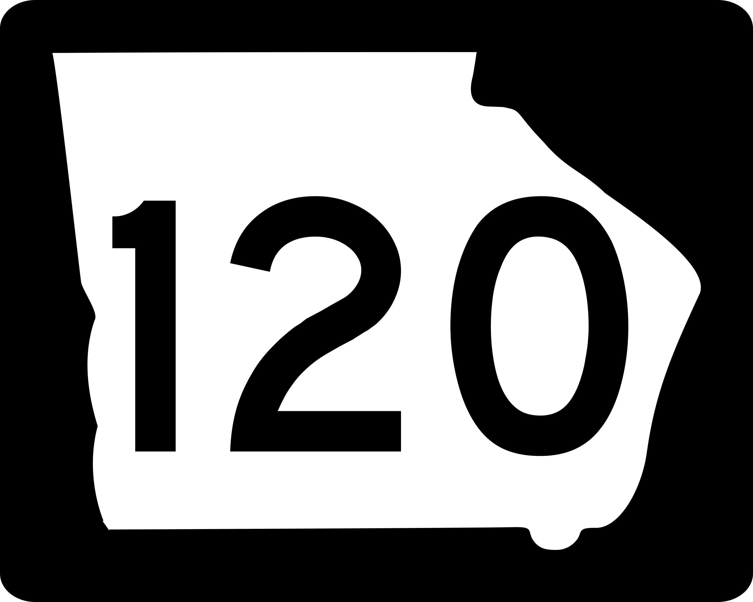
| Description | Georgia state route marker. Signs use FHWA type D or type C font. |
| Date | |
| Source | http://www.dot.ga.gov/PartnerSmart/DesignManuals/smguide/GDOT%20SIGNING%20AND%20MARKING%20DESIGN%20GUIDELINES.pdf and approximated from photos |
| Auteur | Fredddie, originally created by Pedriana |
Conditions d’utilisation[modifier]
This file is in the public domain because it is prescribed by the Georgia Supplement to the Manual on Uniform Traffic Control Devices, sign number M1-5. The Georgia Supplement states on page 1-3 that "[MUTCD 2009 edition is the] latest edition adopted by GDOT. This document shall govern those aspects of the application of all signs, signals, and pavement markings". The federal MUTCD states specifically on page I-1 that:
No provisions of the supplement supersede this provision of the MUTCD. |
Historique du fichier
Cliquer sur une date et heure pour voir le fichier tel qu'il était à ce moment-là.
| Date et heure | Vignette | Dimensions | Utilisateur | Commentaire | |
|---|---|---|---|---|---|
| actuel | 3 juin 2010 à 14:48 | | 750 × 600 (6 kio) | Fredddie (d | contributions) | |
| 17 mai 2006 à 19:12 |  | 625 × 500 (11 kio) | Pedriana~commonswiki (d | contributions) | changed font from Series D to Series C to reflect actual use in the field | |
| 16 avril 2006 à 17:32 |  | 625 × 500 (10 kio) | Pedriana~commonswiki (d | contributions) | Georgia State Route 120 shield, 30 inches by 24 inches. Based on [http://www.dot.state.ga.us/operations/traffic-safety-design/Documents/PDF/3.%20Non-Interstate%20Signing%20and%20Marking%20Design%20Guidelines.pdf GDOT's Non-Interstate Signing and Marking D |
Vous ne pouvez pas remplacer ce fichier.
Utilisations locales du fichier
Les 3 pages suivantes utilisent ce fichier :
Utilisations du fichier sur d’autres wikis
Les autres wikis suivants utilisent ce fichier :
- Utilisation sur en.wikipedia.org
- Paulding County, Georgia
- Haralson County, Georgia
- Gwinnett County, Georgia
- Fulton County, Georgia
- Cobb County, Georgia
- Alpharetta, Georgia
- Roswell, Georgia
- Duluth, Georgia
- Dallas, Georgia
- Hiram, Georgia
- Georgia State Route 400
- Georgia State Route 316
- Georgia State Route 141
- List of state routes in Georgia
- Georgia State Route 3
- Northwest Corridor Express Lanes
- Georgia State Route 20
- Ernest W. Barrett Parkway
- Georgia State Route 9
- Marietta Parkway
- Georgia State Route 5
- Georgia State Route 6
- Georgia State Route 92
- Georgia State Route 13
- Georgia State Route 120
- Georgia State Route 140
- Johns Creek, Georgia
- Interstate 75 in Georgia
- Interstate 85 in Georgia
- List of highways numbered 120
- Wikipedia:WikiProject U.S. Roads/Redirects/Georgia
- Georgia State Route 360
- Georgia State Route 113
- Georgia State Route 8
- Georgia State Route 100
- Georgia State Route 101
- Georgia State Route 61
- U.S. Route 278 in Georgia
- U.S. Route 29 in Georgia
- Georgia Rail Passenger Program
- Special routes of U.S. Route 27
- Georgia State Route 119
- U.S. Route 23 in Georgia
- U.S. Route 41 in Georgia
- Sugarloaf Parkway
- List of former state routes in Georgia (1–199)
- Georgia State Route 121
- U.S. Route 27 in Georgia
- Template:Athens Line
- Utilisation sur es.wikipedia.org
Voir davantage sur l’utilisation globale de ce fichier.