File:Goehren Kastanienallee Strassenpflaster.jpg
Jump to navigation
Jump to search
Size of this preview: 800 × 600 pixels. Other resolutions: 320 × 240 pixels | 640 × 480 pixels | 1,024 × 768 pixels | 1,280 × 960 pixels | 2,560 × 1,920 pixels | 3,076 × 2,307 pixels.
Original file (3,076 × 2,307 pixels, file size: 4.25 MB, MIME type: image/jpeg)
Captions
Captions
Add a one-line explanation of what this file represents
Summary[edit]
| Description |
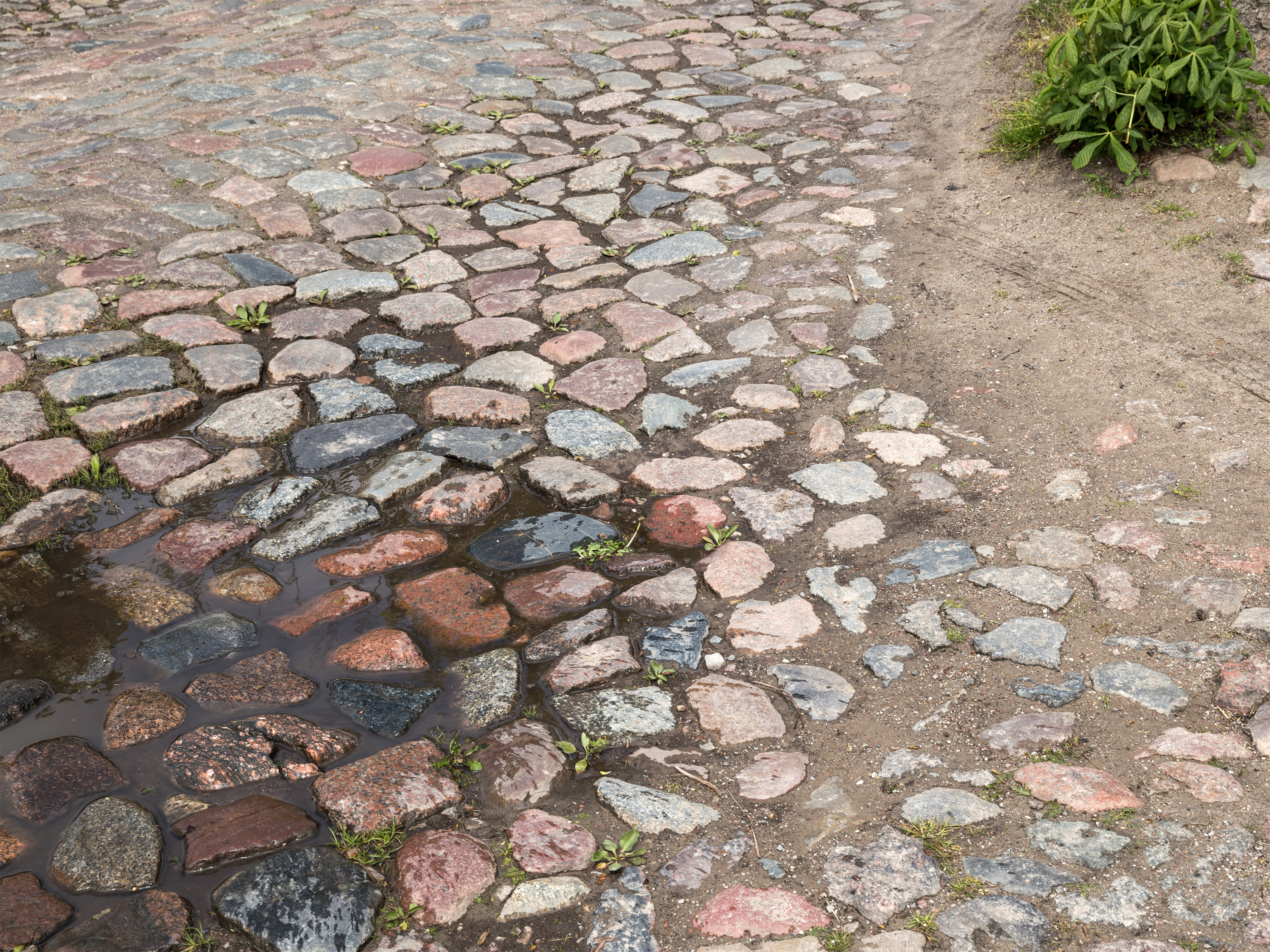
English: Göhren, island of Rügen, Kastanienallee, pavement (cultural heritage monument)
Deutsch: Göhren, Rügen, Kastanienallee, Straßenzug mit Pflasterung unter Denkmalschutz
Esperanto: Göhren, insulo Rügen, Kastanienallee, strato kun pavimaj ŝtonoj (protektenda monumento) |
| Date | |
| Source | Own work |
| Author | Unukorno |
| Camera location | | View this and other nearby images on: OpenStreetMap |
|---|
Licensing[edit]
I, the copyright holder of this work, hereby publish it under the following license:
This file is licensed under the Creative Commons Attribution 4.0 International license.
- You are free:
- to share – to copy, distribute and transmit the work
- to remix – to adapt the work
- Under the following conditions:
- attribution – You must give appropriate credit, provide a link to the license, and indicate if changes were made. You may do so in any reasonable manner, but not in any way that suggests the licensor endorses you or your use.
File history
Click on a date/time to view the file as it appeared at that time.
| Date/Time | Thumbnail | Dimensions | User | Comment | |
|---|---|---|---|---|---|
| current | 16:04, 14 June 2016 | | 3,076 × 2,307 (4.25 MB) | Unukorno (talk | contribs) | {{Information |Description ={{en|1=Göhren, island of Rügen, Kastanienallee, pavement (cultural heritage monument)}} {{de|1=Göhren, Rügen, Kastanienallee, Straßenzug mit Pflasterung unter Denkmalschutz}} {{eo|1=Göhren, insulo Rügen, Kastaniena... |
You cannot overwrite this file.
File usage on Commons
There are no pages that use this file.
File usage on other wikis
The following other wikis use this file:
- Usage on de.wikipedia.org