File:Gpnf vicinity.png
Aller à la navigation
Aller à la recherche

Taille de cet aperçu : 463 × 599 pixels. Autres résolutions : 185 × 240 pixels | 371 × 480 pixels | 593 × 768 pixels | 1 275 × 1 650 pixels.
Fichier d’origine (1 275 × 1 650 pixels, taille du fichier : 407 kio, type MIME : image/png)
Légendes
Légendes
Ajoutez en une ligne la description de ce que représente ce fichier
Description
[modifier]
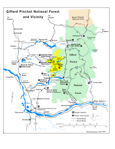
Map retrieved from U.S. Government website, [1] in pdf format and converted to png.
Conditions d’utilisation
[modifier]
This image is a work of the Forest Service of the United States Department of Agriculture. As a work of the U.S. federal government, the image is in the public domain.
|
Historique du fichier
Cliquer sur une date et heure pour voir le fichier tel qu'il était à ce moment-là.
| Date et heure | Vignette | Dimensions | Utilisateur | Commentaire | |
|---|---|---|---|---|---|
| actuel | 2 janvier 2006 à 05:44 | | 1 275 × 1 650 (407 kio) | Wsiegmund (d | contributions) | Map retrieved from U.S. Government website, [http://www.fs.fed.us/gpnf/sitemap/maps.shtml] in pdf format and converted to png. |
Vous ne pouvez pas remplacer ce fichier.
Utilisations locales du fichier
La page suivante utilise ce fichier :
Utilisations du fichier sur d’autres wikis
Les autres wikis suivants utilisent ce fichier :
- Utilisation sur de.wikipedia.org
- Utilisation sur es.wikipedia.org
- Utilisation sur fr.wikipedia.org