File:Grand Est.svg
Jump to navigation
Jump to search

Size of this PNG preview of this SVG file: 530 × 550 pixels. Other resolutions: 231 × 240 pixels | 463 × 480 pixels | 740 × 768 pixels | 987 × 1,024 pixels | 1,974 × 2,048 pixels.
Original file (SVG file, nominally 530 × 550 pixels, file size: 210 KB)
Captions
Captions
Add a one-line explanation of what this file represents
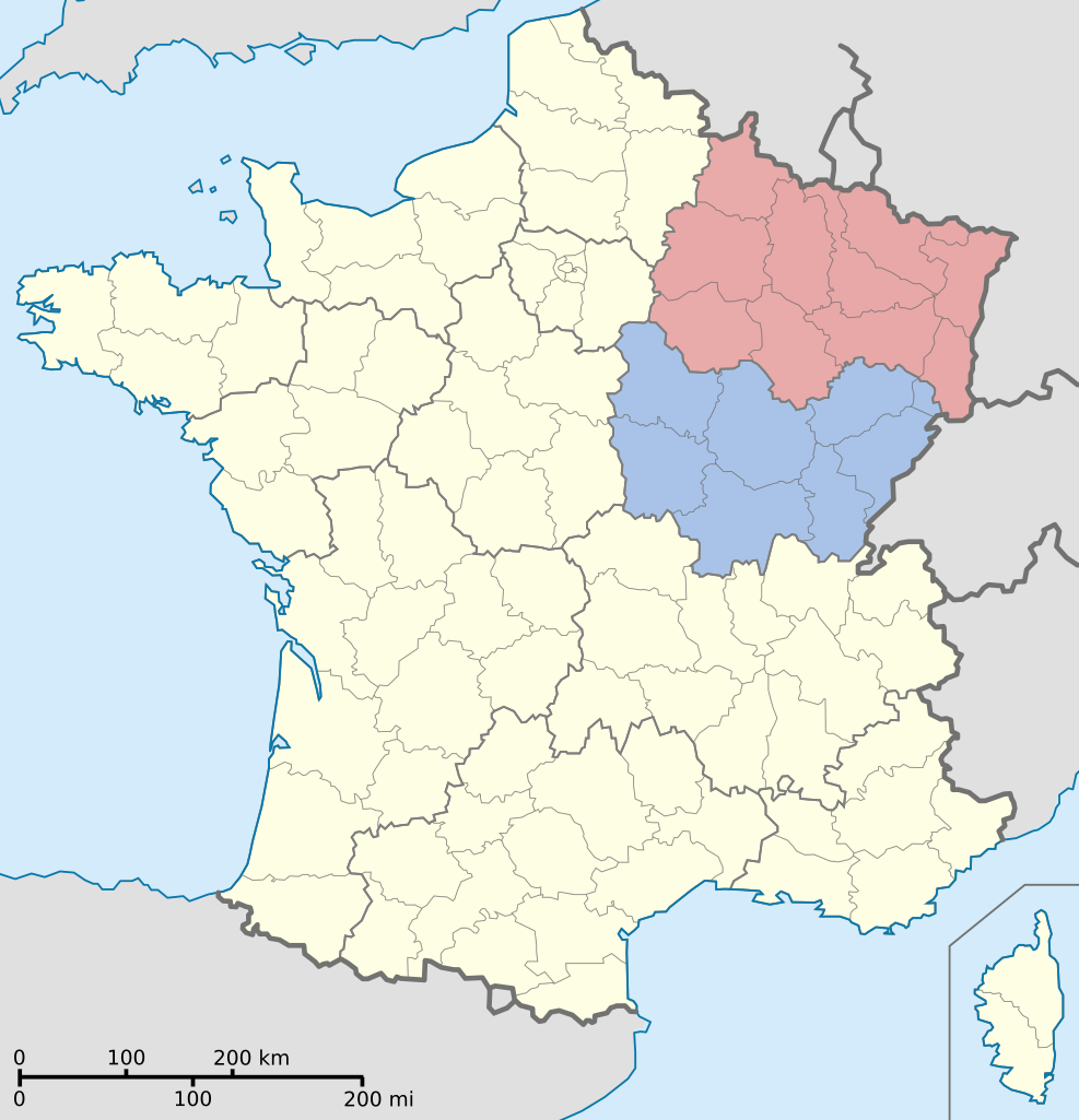
| Description | Map of France showing Grand Est (Greater East) area. |
| Source | Based on Départements et régions de France.svg by Bayo, modified by Herr Satz |
| Author | Bayo, Herr Satz |
Permission[edit]
| This work has been released into the public domain by its author, Bayo. This applies worldwide. In some countries this may not be legally possible; if so: |
File history
Click on a date/time to view the file as it appeared at that time.
| Date/Time | Thumbnail | Dimensions | User | Comment | |
|---|---|---|---|---|---|
| current | 18:41, 11 May 2016 | | 530 × 550 (210 KB) | Sémhur (talk | contribs) | Mise à jour suite à la création des nouvelles régions. |
| 17:11, 14 July 2008 |  | 530 × 550 (295 KB) | Herr Satz (talk | contribs) | {{Information |Description=Map of France showing Grand Est (Greater East) area. |Source=Based on Départements et régions de France.svg by Bayo, modified by [[User:Herr S |
You cannot overwrite this file.
File usage
There are no pages that use this file.
Global file usage
The following other wikis use this file:
- Usage on fr.wikipedia.org