File:Great Armenia location map.png
Jump to navigation
Jump to search

Size of this preview: 800 × 456 pixels. Other resolutions: 320 × 183 pixels | 640 × 365 pixels | 1,024 × 584 pixels | 1,280 × 730 pixels | 1,893 × 1,080 pixels.
Original file (1,893 × 1,080 pixels, file size: 193 KB, MIME type: image/png)
Captions
Captions
Add a one-line explanation of what this file represents
Summary[edit]
| Description |
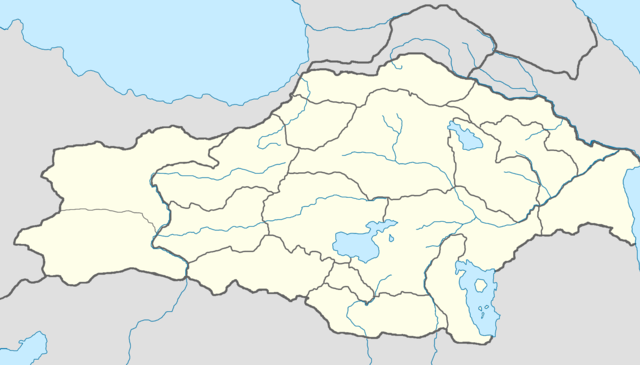
English: Location map of Great Armenia |
| Date | |
| Source | Own work |
| Author | Tigran Ovanyan |
Licensing[edit]
I, the copyright holder of this work, hereby publish it under the following license:
This file is licensed under the Creative Commons Attribution-Share Alike 4.0 International license.
- You are free:
- to share – to copy, distribute and transmit the work
- to remix – to adapt the work
- Under the following conditions:
- attribution – You must give appropriate credit, provide a link to the license, and indicate if changes were made. You may do so in any reasonable manner, but not in any way that suggests the licensor endorses you or your use.
- share alike – If you remix, transform, or build upon the material, you must distribute your contributions under the same or compatible license as the original.
File history
Click on a date/time to view the file as it appeared at that time.
| Date/Time | Thumbnail | Dimensions | User | Comment | |
|---|---|---|---|---|---|
| current | 14:40, 4 May 2022 | | 1,893 × 1,080 (193 KB) | Tigran Ovanyan (talk | contribs) | position change |
| 12:29, 17 December 2020 |  | 1,893 × 1,080 (195 KB) | Tigran Ovanyan (talk | contribs) | Uploaded own work with UploadWizard |
You cannot overwrite this file.
File usage on Commons
There are no pages that use this file.
File usage on other wikis
The following other wikis use this file:
- Usage on hy.wikipedia.org
- Դվին
- Ավարայրի ճակատամարտ
- Մուշ
- Ծռվիզի վանք
- Սուրբ Հովհաննես եկեղեցի (Գանձակ)
- Թարգմանչաց վանք (Խաչակապ)
- Սուրբ Կարապետ եկեղեցի (Ապրակունիս)
- Օշկվանք
- Տեկորի տաճար
- Ձիրավի ճակատամարտ
- Կաղապար:Տեղորոշման քարտեզ Մեծ Հայք
- Վարդանակերտի ճակատամարտ
- Թարգմանչաց անապատ վանք
- Արածանիի ճակատամարտ
- Կաղապար:Մեծ Հայքի քաղաք
- Կաղապար:Մեծ Հայքի քաղաք/doc
- Նարեկավանք
- Բանակի տաճար
- Կարմրավանք
- Խծկոնք վանք
- Սուրբ Բարդուղիմեոսի վանք
- Սուրբ Աստվածածին վանք (Արաբկիր)
- Սուրբ Էջմիածին եկեղեցի
- Հոգոց վանք
- Սուրբ Ամենափրկիչ վանք (Երազգավորս)
- Սուրբ Գևորգ վանք (Գոմք)
- Սքանչելագործ վանք
- Սուրբ Մինաս վանք
- Սուրբ Նշան վանք (Սեբաստիա)
- Վարագավանք
- Վարզահան վանք
- Հանդաբերդի վանք
- Կարմիրավան (վանք)
- Սուրբ Աստվածածին եկեղեցի (Ծար)
- Սուրբ Ստեփանոս եկեղեցի (Փիփ)
- Կուսանաց վանք (Շուշի)
- Սուրբ Կիրակոս եկեղեցի (Դիարբեքիր)
- Հակոբավանք
- Սուրբ Կարապետ եկեղեցի (Գանձա)
- Սուրբ Ստեփանոս եկեղեցի (Օրդուբադ)
- Կաղապար:Օբյեկտ Պատմական Հայաստանում/doc
- Սուրբ Փրկիչ եկեղեցի (Անի)
- Տիգրան Հոնենց եկեղեցի
- Աբուղամրենց Սուրբ Գրիգոր եկեղեցի
- Կուսանաց վանք (Անի)
- Հովվի եկեղեցի (Անի)
- Բագնայրի վանք
- Ամրդոլու վանք
- Սուրբ Առաքելոց եկեղեցի (Անի)
- Սուրբ Գրիգոր վանք
View more global usage of this file.