File:Greta 1956-11-02 weather map.jpg
(Redirected from File:Greate 1956-11-02 weather map.jpg)
No higher resolution available.
Greta_1956-11-02_weather_map.jpg (767 × 543 pixels, file size: 60 KB, MIME type: image/jpeg)
Captions
Captions
Add a one-line explanation of what this file represents
Summary
| Description | ||||
| Date | ||||
| Source | NOAA Central Library Data Imaging Project | |||
| Author | NOAA Central Library, Silver Spring, Maryland | |||
| Permission (Reusing this file) |
|
File history
Click on a date/time to view the file as it appeared at that time.
| Date/Time | Thumbnail | Dimensions | User | Comment | |
|---|---|---|---|---|---|
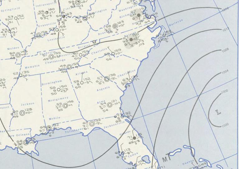
| current | 18:51, 27 August 2009 | | 767 × 543 (60 KB) | Juliancolton (talk | contribs) | {{Information |Description={{en|1=A weather map of Hurricane Greta on November 2, 1956 }} |Source=http://docs.lib.noaa.gov/rescue/dwm/1956/19561102.djvu |Author=[http://docs.lib.noaa.gov/rescue/dwm/data_rescue_daily_weather_maps.html NOAA Central Library |
You cannot overwrite this file.
File usage on Commons
The following 2 pages use this file:
- File:Greate 1956-11-02 weather map.jpg (file redirect)
- File:Hurricane Greta November 2, 1956 weather map.jpg (file redirect)
File usage on other wikis
The following other wikis use this file:
- Usage on en.wikipedia.org
- Usage on www.wikidata.org
- Usage on zh.wikipedia.org