File:Greater Managua map.svg
Jump to navigation
Jump to search

Size of this PNG preview of this SVG file: 670 × 599 pixels. Other resolutions: 268 × 240 pixels | 537 × 480 pixels | 859 × 768 pixels | 1,145 × 1,024 pixels | 2,290 × 2,048 pixels | 1,146 × 1,025 pixels.
Original file (SVG file, nominally 1,146 × 1,025 pixels, file size: 54 KB)
Captions
Captions
Add a one-line explanation of what this file represents
Summary
[edit]| Description |
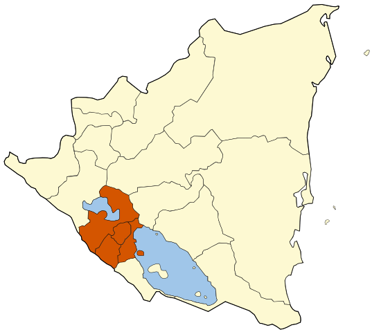
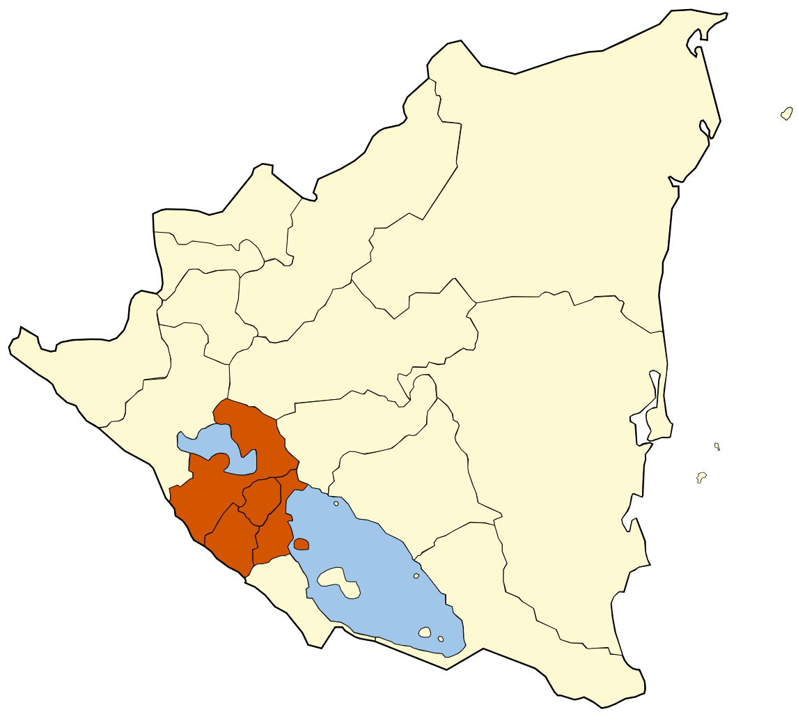
English: Map of Greater Managua, higlighting the Managua, Masaya, Granada, and Carazo departments.
Español: Mapa de la región metropolitana de Managua, mostrando los departamentos de Managua, Masaya, Granada y Carazo. |
||
| Date | |||
| Source | Own work | ||
| Author | Vrysxy | ||
| Permission (Reusing this file) |
I, the copyright holder of this work, hereby publish it under the following licenses: This file is licensed under the Creative Commons Attribution-Share Alike 3.0 Unported license.
You may select the license of your choice. |

File history
Click on a date/time to view the file as it appeared at that time.
| Date/Time | Thumbnail | Dimensions | User | Comment | |
|---|---|---|---|---|---|
| current | 02:44, 17 October 2010 | | 1,146 × 1,025 (54 KB) | Vrysxy (talk | contribs) | Mejorando |
| 04:20, 14 October 2010 |  | 400 × 374 (183 KB) | Vrysxy (talk | contribs) | {{Information |Description={{en|1=Map of Greater Managua, higlighting the Managua, Granada, Carazo, and Masaya departments. }} {{es|1=Mapa de la región metropolitana de Managua, mostrando los departamentos de Managua, Granada, Carazo y Masaya. }} |Source |
You cannot overwrite this file.
File usage on Commons
There are no pages that use this file.
File usage on other wikis
The following other wikis use this file:
- Usage on de.wikipedia.org