File:Grundwiesentalbach 1.jpg
Jump to navigation
Jump to search
Size of this preview: 478 × 600 pixels. Other resolutions: 191 × 240 pixels | 382 × 480 pixels | 612 × 768 pixels | 816 × 1,024 pixels | 1,632 × 2,048 pixels | 3,000 × 3,764 pixels.
Original file (3,000 × 3,764 pixels, file size: 7.83 MB, MIME type: image/jpeg)
Captions
Captions
Add a one-line explanation of what this file represents
Summary[edit]
| Description |
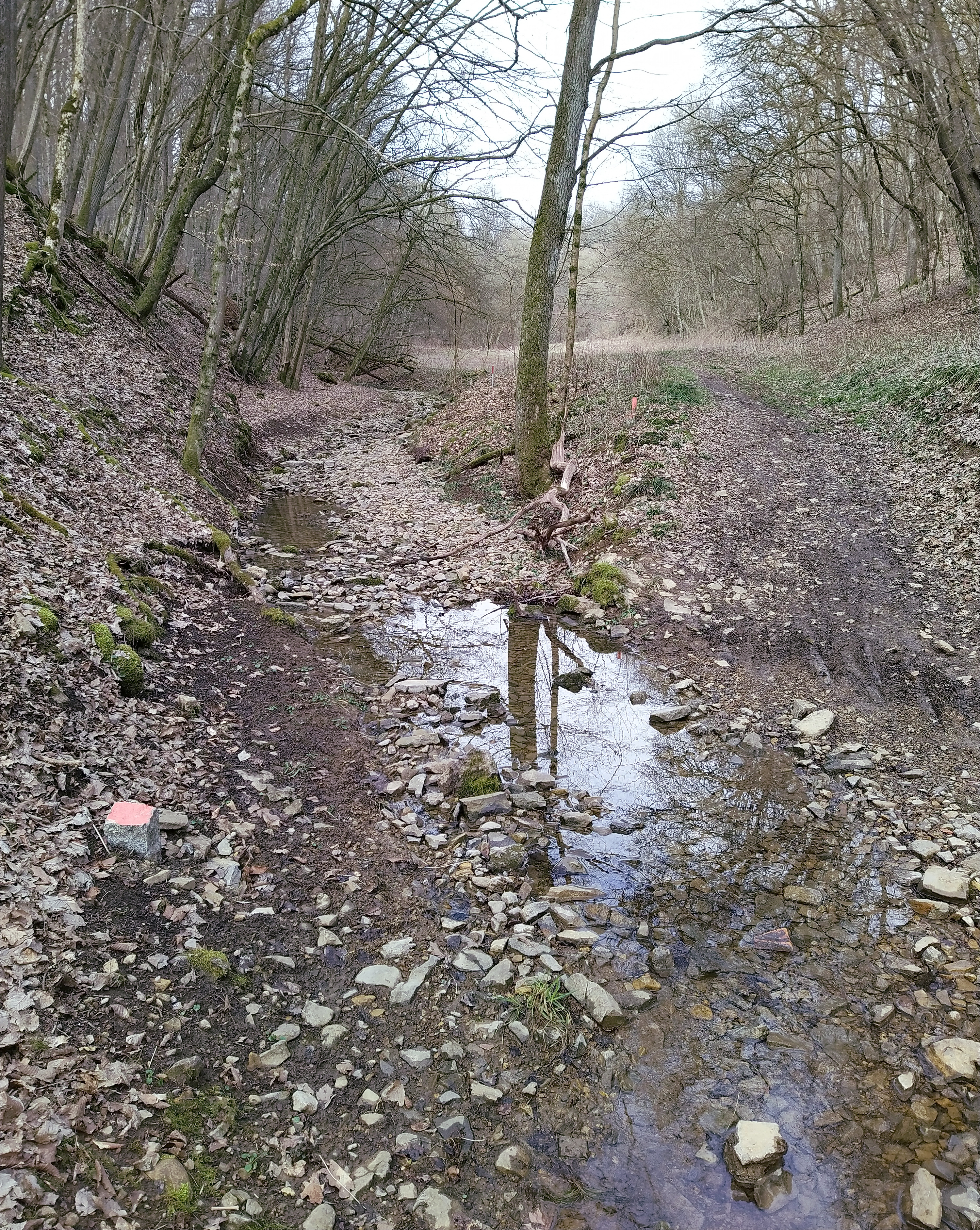
Deutsch: Eine Furt über den Grundwiesentalbach in dessen Hesselbacher Grund genanntem Talabschnitt. Auf der rechten Seite des Bilds führt der Feldweg nach der Furt weiter. Der Blick ist flussaufwärts.
English: A ford across the Grundwiesentalbach stream in its valley part named Hesselbacher Grund. On the right side of the picture the dirt road continues after crossing. The view is upstream. |
| Date | |
| Source | Own work |
| Author | Michael Bemmerl |
| Camera location | | View this and other nearby images on: OpenStreetMap |
|---|
Licensing[edit]
Michael Bemmerl, the copyright holder of this work, hereby publishes it under the following license:
This file is licensed under the Creative Commons Attribution 3.0 Germany license.
Attribution: Michael Bemmerl
- You are free:
- to share – to copy, distribute and transmit the work
- to remix – to adapt the work
- Under the following conditions:
- attribution – You must give appropriate credit, provide a link to the license, and indicate if changes were made. You may do so in any reasonable manner, but not in any way that suggests the licensor endorses you or your use.

File history
Click on a date/time to view the file as it appeared at that time.
| Date/Time | Thumbnail | Dimensions | User | Comment | |
|---|---|---|---|---|---|
| current | 21:41, 7 June 2022 | | 3,000 × 3,764 (7.83 MB) | WikiMichi (talk | contribs) | == {{int:filedesc}} == {{Information |description={{de|Verfallene Brücke für Wanderer über den Meerbach. Zum Zeitpunkt der Aufnahme war der Bach versiegt. Der Blick ist flussabwärts.}}{{en|Decayed bridge for hikers over the Meerbach. At the time the photo was taken, the stream had dried up. The view is downstream.}} |source={{own}} |author=Michael Bemmerl |date=2021-08-25 |permission= |other_versions= }} {{Location dec|50.065742|10.289096}}... |
You cannot overwrite this file.
File usage on Commons
The following page uses this file:
File usage on other wikis
The following other wikis use this file:
- Usage on de.wikipedia.org
- Usage on www.wikidata.org