File:Guadeloupe department location map.svg
跳转到导航
跳转到搜索

此SVG文件的PNG预览的大小:684 × 600像素。 其他分辨率:274 × 240像素 | 547 × 480像素 | 876 × 768像素 | 1,168 × 1,024像素 | 2,336 × 2,048像素 | 1,015 × 890像素。
原始文件 (SVG文件,尺寸为1,015 × 890像素,文件大小:217 KB)
说明
说明
添加一行文字以描述该文件所表现的内容
摘要
[编辑]| 相机位置 | | 在以下服务上查看本图像和附近其他图像: OpenStreetMap |
|---|
| 描述 |
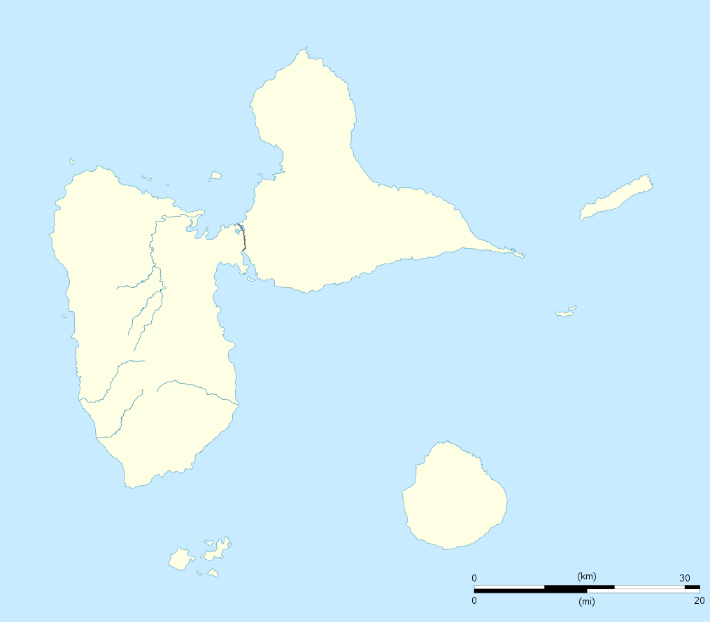
English: Blank administrative map of the region and department of Guadeloupe, France, for geo-location purpose, with arrondissements boundaries.
Français : Carte administrative vierge de la région et département de Guadeloupe, France, destinée à la géolocalisation, avec limite des arrondissements. Equirectangular projection, WGS84 datum
Geographic limits of the map:
|
||
| 日期 | |||
| 来源 |
自己的作品
|
||
| 作者 | Eric Gaba (Sting - fr:Sting) | ||
| 授权 (二次使用本文件) |
|
||
| 其他版本 |
Derivative works of this file: France all regions.svg
|

许可协议
[编辑]
我,本作品著作权人,特此采用以下许可协议发表本作品:
本文件采用知识共享署名-相同方式共享 3.0 未本地化版本许可协议授权。
- 您可以自由地:
- 共享 – 复制、发行并传播本作品
- 修改 – 改编作品
- 惟须遵守下列条件:
- 署名 – 您必须对作品进行署名,提供授权条款的链接,并说明是否对原始内容进行了更改。您可以用任何合理的方式来署名,但不得以任何方式表明许可人认可您或您的使用。
- 相同方式共享 – 如果您再混合、转换或者基于本作品进行创作,您必须以与原先许可协议相同或相兼容的许可协议分发您贡献的作品。

|
已授权您依据自由软件基金会发行的无固定段落及封面封底文字(Invariant Sections, Front-Cover Texts, and Back-Cover Texts)的GNU自由文件许可协议1.2版或任意后续版本的条款,复制、传播和/或修改本文件。该协议的副本请见“GNU Free Documentation License”。 |
您可以选择您需要的许可协议。
文件历史
点击某个日期/时间查看对应时刻的文件。
| 日期/时间 | 缩略图 | 大小 | 用户 | 备注 | |
|---|---|---|---|---|---|
| 当前 | 2008年9月22日 (一) 20:00 | | 1,015 × 890(217 KB) | Sting(留言 | 贡献) | == Summary == {{Location|16|10|30|N|61|24|00|W|scale:500000}} <br/> {{Information |Description={{en|Blank administrative map of the region and department of Guadeloupe, France, for geo-location purpose, with arrondissements boundaries.} |
您不可以覆盖此文件。
文件用途
以下16个页面使用本文件:
- Location maps of departments of France
- Location maps of regions of France
- User:Sting/Gallery: Location and locator maps
- User:Wikisoft*/Localisation cartes des regions de France
- File:EU Member states and Candidate countries map.svg
- File:EU Member states and Candidate countries map 17 March 2015.svg
- File:France, administrative divisions - Nmbrs (+overseas).svg
- File:France, administrative divisions - Nmbrs (+overseas) - colored.svg
- File:France, administrative divisions - de (+overseas).svg
- File:France, administrative divisions - de (+overseas) - colored.svg
- File:France, administrative divisions until 2015 - de (+overseas) - colored, Noto font.svg
- File:France, administrative divisions until 2015 - en (+overseas) - colored.svg
- File:France, administrative divisions until 2015 - es (+overseas) - colored.svg
- File:France, administrative divisions until 2015 - fr (+overseas) - colored.svg
- File:France (+overseas), administrative divisions - Nmbrs (zoom).svg
- File:Guadeloupe department relief location map.jpg
.svg)
_-_colored.svg)
.svg)
_-_colored.svg)
_-_colored,_Noto_font.svg)
_-_colored.svg)
_-_colored.svg)
_-_colored.svg)
,_administrative_divisions_-_Nmbrs_(zoom).svg)
全域文件用途
以下其他wiki使用此文件:
- af.wikipedia.org上的用途
- als.wikipedia.org上的用途
- an.wikipedia.org上的用途
- ar.wikipedia.org上的用途
- ast.wikipedia.org上的用途
- be-tarask.wikipedia.org上的用途
- be.wikipedia.org上的用途
- bg.wikipedia.org上的用途
- bs.wikipedia.org上的用途
- ca.wikipedia.org上的用途
- ceb.wikipedia.org上的用途
- Plantilya:Location map Guadeloupe
- Old Fort Point
- North Point
- Mont Saint-Jean
- Bombo
- Piton Island
- Whale Rock
- Baleine
- Moule
- Sugarloaf
- Le Pain de Sucre
- Les Saintes
- La Tortue
- La Baleine (pagklaro)
- Grande Pointe
- Ferry Point
- Saint Peter Island
- Sugarloaf Passage
- Portland Bay
- Cemetery Point
- Massacre Hill
- Pointe Noire
- Passe du Sud
- Petite Passe
- Morne Rouge
- Soufriere
- Salee River
- Pointe Mahaut
- L’Ilet
- Pointe des Salines
- Pointe Rouge
- Pointe Percée
- Pointe du Cimetière
- Porte d’Enfer
查看此文件的更多全域用途。