File:Guilford County W-S protection study - zoning map LOC 2007629478.jpg
Aller à la navigation
Aller à la recherche
Taille de cet aperçu : 800 × 520 pixels. Autres résolutions : 320 × 208 pixels | 640 × 416 pixels | 1 024 × 666 pixels | 1 280 × 832 pixels | 2 560 × 1 664 pixels | 5 160 × 3 354 pixels.
Fichier d’origine (5 160 × 3 354 pixels, taille du fichier : 2,43 Mio, type MIME : image/jpeg)
Légendes
Légendes
Ajoutez en une ligne la description de ce que représente ce fichier
Description
[modifier]| Description |
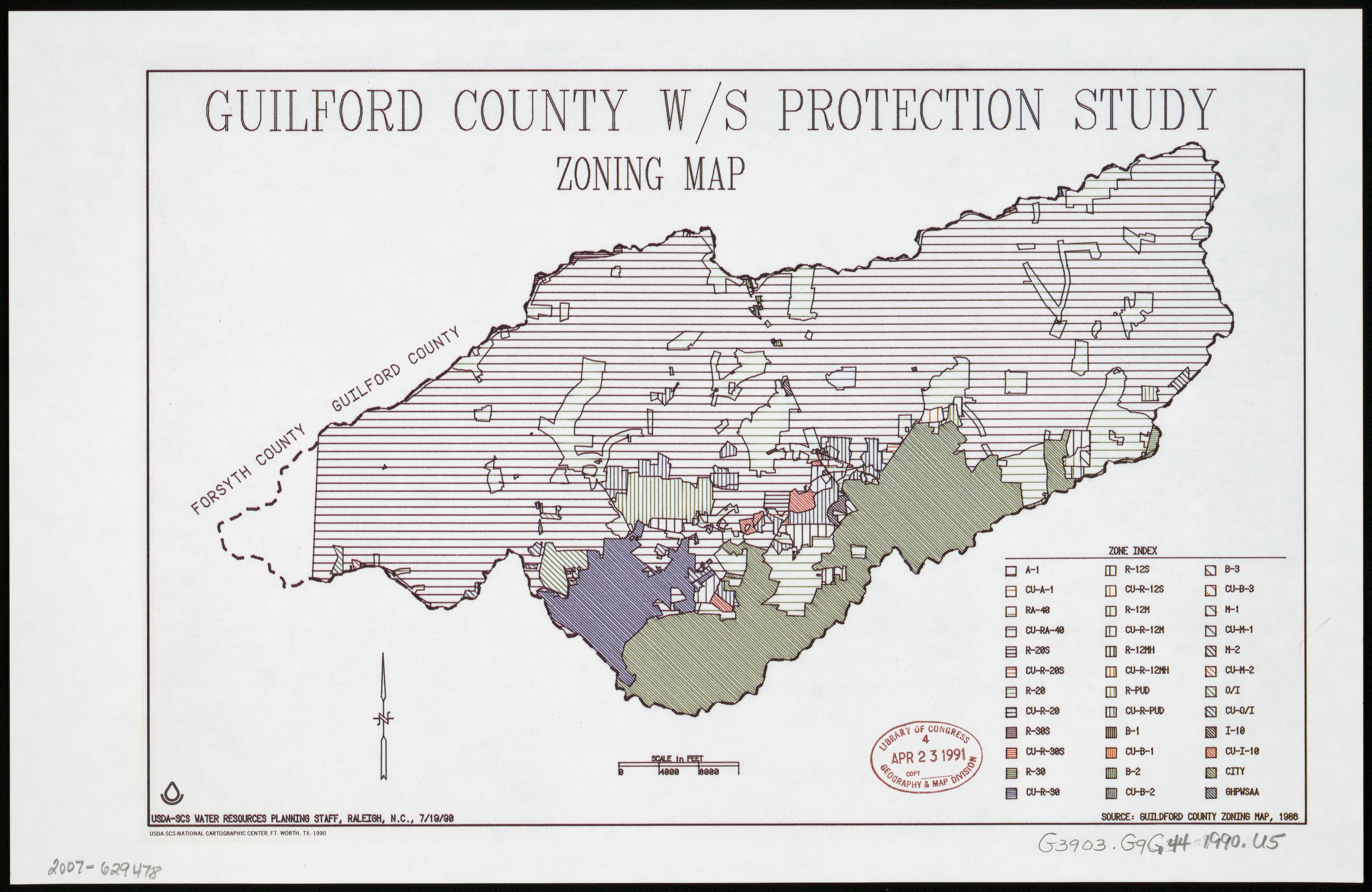
English: "7/19/90." Available also through the Library of Congress Web site as a raster image. |
||
| Title | Guilford County W/S protection study : zoning map | ||
| Shelf ID | G3903.G9G44 1990 .U5 | ||
| Date | |||
| Source | https://www.loc.gov/item/2007629478/ | ||
| Auteur | United States. Soil Conservation Service; National Cartographic Center (U.S.) | ||
| Autorisation (Réutilisation de ce fichier) |
|
||
| Autres versions |
|
||
| Location | Guilford County. · United States · Guilford County · North Carolina | ||
| Part of | American Memory · Catalog · Geography And Map Division · Additional Conservation And Environment Cartographic Items | ||
| Subject | United States · Maps · Zoning · North Carolina · Guilford County |


Conditions d’utilisation
[modifier]
| Cette œuvre est issue de la Bibliothèque du Congrès. Selon la bibliothèque, il n'existe aucune restriction connue en matière de droits d'auteur pour l'utilisation de cette œuvre. |  |
Historique du fichier
Cliquer sur une date et heure pour voir le fichier tel qu'il était à ce moment-là.
| Date et heure | Vignette | Dimensions | Utilisateur | Commentaire | |
|---|---|---|---|---|---|
| actuel | 22 août 2018 à 08:32 | | 5 160 × 3 354 (2,43 Mio) | Fæ (d | contributions) | LOC Maps https://www.loc.gov/item/2007629478/ #1483 |
Vous ne pouvez pas remplacer ce fichier.
Utilisations locales du fichier
La page suivante utilise ce fichier :
Utilisations du fichier sur d’autres wikis
Les autres wikis suivants utilisent ce fichier :
- Utilisation sur fr.wikipedia.org