File:Guipúzcoa-loc.svg
Jump to navigation
Jump to search

Size of this PNG preview of this SVG file: 512 × 388 pixels. Other resolutions: 317 × 240 pixels | 634 × 480 pixels | 1,014 × 768 pixels | 1,280 × 970 pixels | 2,560 × 1,940 pixels.
Original file (SVG file, nominally 512 × 388 pixels, file size: 161 KB)
Captions
Captions
Add a one-line explanation of what this file represents
Summary
[edit]
| Description |
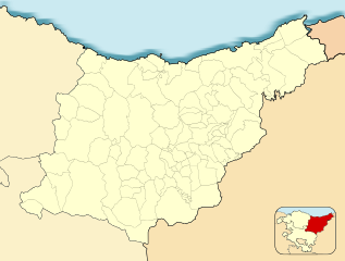
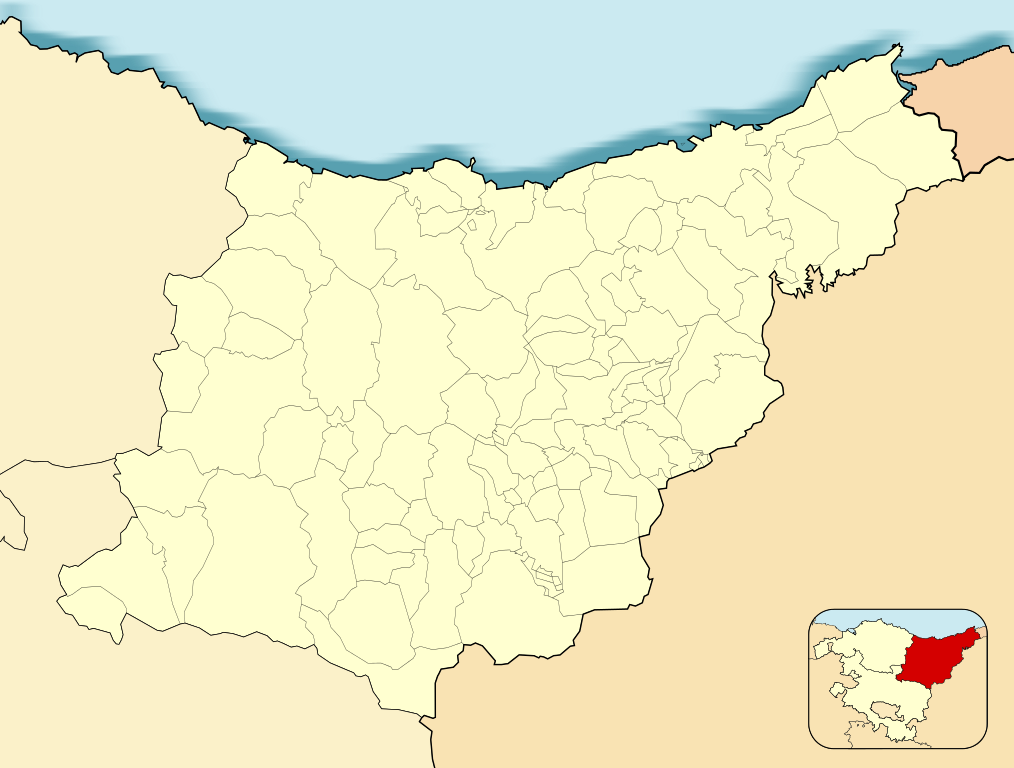
English: Location map of Guipúzcoa
Equirectangular projection, N/S stretching 130 %. Geographic limits of the map:
Español: Mapa de localización de la provincia de Guipúzcoa
Proyección equirrectangular, N/S estirada 130 %. Límites geográficos del mapa:
|
|
| Date | ||
| Source | Own work based on: EspañaLoc.svg by HansenBCN | |
| Author | Miguillen | |
| SVG development | This locator map was created with Inkscape.
|
Licensing
[edit]
Miguillen, the copyright holder of this work, hereby publishes it under the following license:
This file is licensed under the Creative Commons Attribution-Share Alike 3.0 Unported license.
Attribution: Miguillen
- You are free:
- to share – to copy, distribute and transmit the work
- to remix – to adapt the work
- Under the following conditions:
- attribution – You must give appropriate credit, provide a link to the license, and indicate if changes were made. You may do so in any reasonable manner, but not in any way that suggests the licensor endorses you or your use.
- share alike – If you remix, transform, or build upon the material, you must distribute your contributions under the same or compatible license as the original.
File history
Click on a date/time to view the file as it appeared at that time.
| Date/Time | Thumbnail | Dimensions | User | Comment | |
|---|---|---|---|---|---|
| current | 15:22, 9 December 2010 | | 512 × 388 (161 KB) | Miguillen (talk | contribs) | Colores y mosca segun convención |
| 14:52, 14 August 2010 |  | 512 × 388 (149 KB) | Miguillen (talk | contribs) | == {{int:filedesc}} == {{Information |Description={{en|Location map of Guipúzcoa}} Equirectangular projection, N/S stretching 130 %. Geographic limits of the map: * N: ° N * S: ° N * W: ° O * E: ° O {{es|Mapa de localización |
You cannot overwrite this file.
File usage on Commons
There are no pages that use this file.
File usage on other wikis
The following other wikis use this file:
- Usage on ba.wikipedia.org
- Usage on de.wikipedia.org
- Usage on eo.wikipedia.org
- Lasarto-Orio
- Arrasate
- Iruno
- Preĝejo Sankta Vincento (Donostio)
- Hondarribia
- Monto Jaizkibel
- Tolosa
- Oñati
- Beasain
- Irún (stacidomo)
- Hernani
- Eibar
- Errenteria
- Lezo-Rentería (stacidomo)
- San Sebastián-Donostia (stacidomo)
- Ventas de Irún (stacidomo)
- Pasaia (stacidomo)
- Pasaia
- Tolosa (stacidomo)
- Tolosa-Centro (stacidomo)
- Beasain (stacidomo)
- Hernani (stacidomo)
- Hernani-Centro (stacidomo)
- Legazpi
- Legazpi (stacidomo)
- Brinkola (stacidomo)
- Oiartzun
- Lezo (Hispanio)
- Irun Ficoba (Euskotren)
- Irun Colon (Euskotren)
- Belaskoenea (Euskotren)
- Bentak (Euskotren)
- Lasarte-Oria (Euskotren)
- Altza (Euskotren)
- Amara (Euskotren)
- Pasaia (Euskotren)
- Gaintxurizketa (Euskotren)
- Oiartzun (Euskotren)
- Errenteria (Euskotren)
- Fanderia (Euskotren)
- Galtzaraborda (Euskotren)
- Anoeta (Euskotren)
- Errekalde (Euskotren)
- Lugaritz (Euskotren)
- Añorga (Euskotren)
- Loiola (Euskotren)
- Intxaurrondo (Euskotren)
- Herrera (Euskotren)
View more global usage of this file.