File:Gujo hachiman castle , 郡上八幡城 - panoramio.jpg
Jump to navigation
Jump to search

Size of this preview: 800 × 570 pixels. Other resolutions: 320 × 228 pixels | 640 × 456 pixels | 1,024 × 729 pixels | 1,280 × 911 pixels | 2,247 × 1,600 pixels.
Original file (2,247 × 1,600 pixels, file size: 1.1 MB, MIME type: image/jpeg)
Captions
Captions
Add a one-line explanation of what this file represents
Summary
[edit]
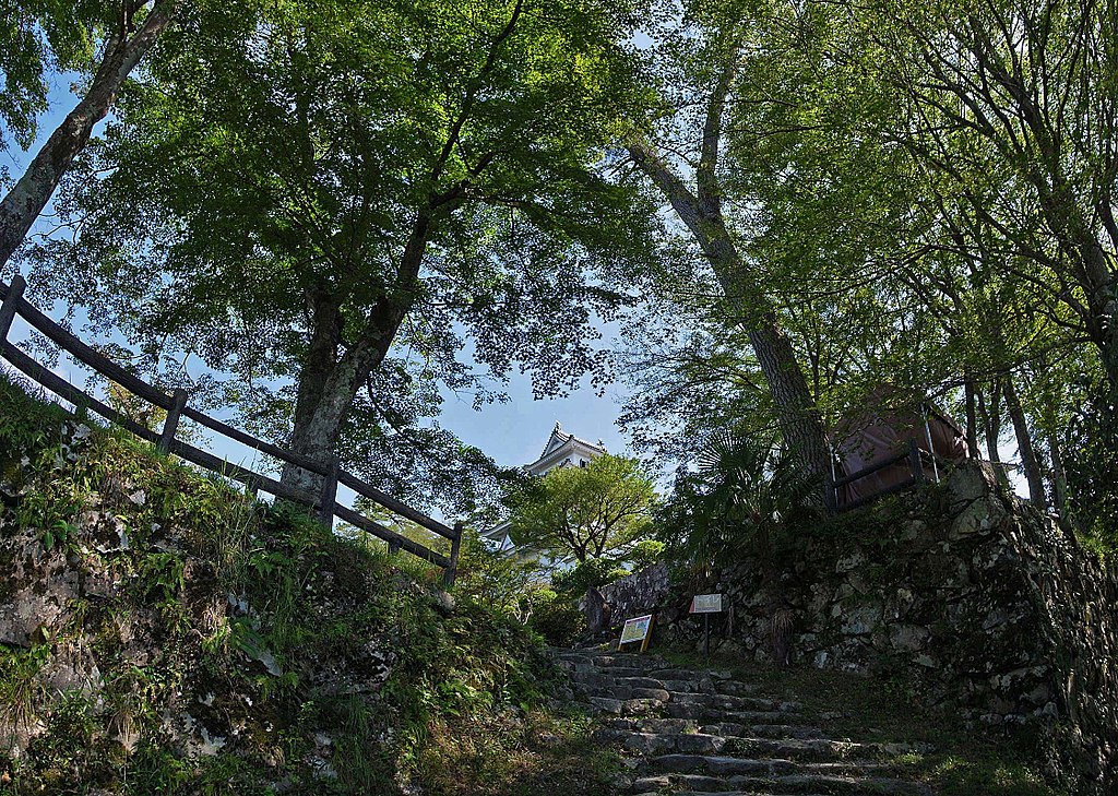
| Description | Gujo hachiman castle , 郡上八幡城 | ||
| Date | Taken on 30 August 2014 | ||
| Source | https://web.archive.org/web/20161031222229/http://www.panoramio.com/photo/111172281 | ||
| Author | z tanuki | ||
| Permission (Reusing this file) |
This file is licensed under the Creative Commons Attribution 3.0 Unported license. Attribution: z tanuki
|
||
| Tags (from Panoramio photo page) | Gujo, 2014, 岐阜県, 日本, 郡上市 |
| Camera location | | View this and other nearby images on: OpenStreetMap |
|---|
File history
Click on a date/time to view the file as it appeared at that time.
| Date/Time | Thumbnail | Dimensions | User | Comment | |
|---|---|---|---|---|---|
| current | 18:00, 14 April 2017 | | 2,247 × 1,600 (1.1 MB) | Panoramio upload bot (talk | contribs) | == {{int:filedesc}} == {{Information |description=Gujo hachiman castle , 郡上八幡城 |date={{Taken on|2014-08-30}} |source=http://www.panoramio.com/photo/111172281 |author=[http://www.panoramio.com/user/238971?with_photo_id=111172281 z tanuki] |per... |
You cannot overwrite this file.
File usage on Commons
There are no pages that use this file.