File:Gunung Bukittunggul.jpg
Jump to navigation
Jump to search
Size of this preview: 800 × 450 pixels. Other resolutions: 320 × 180 pixels | 640 × 360 pixels | 1,024 × 576 pixels | 1,280 × 720 pixels | 2,560 × 1,440 pixels | 4,128 × 2,322 pixels.
Original file (4,128 × 2,322 pixels, file size: 1.77 MB, MIME type: image/jpeg)
Captions
Captions
Add a one-line explanation of what this file represents
Summary
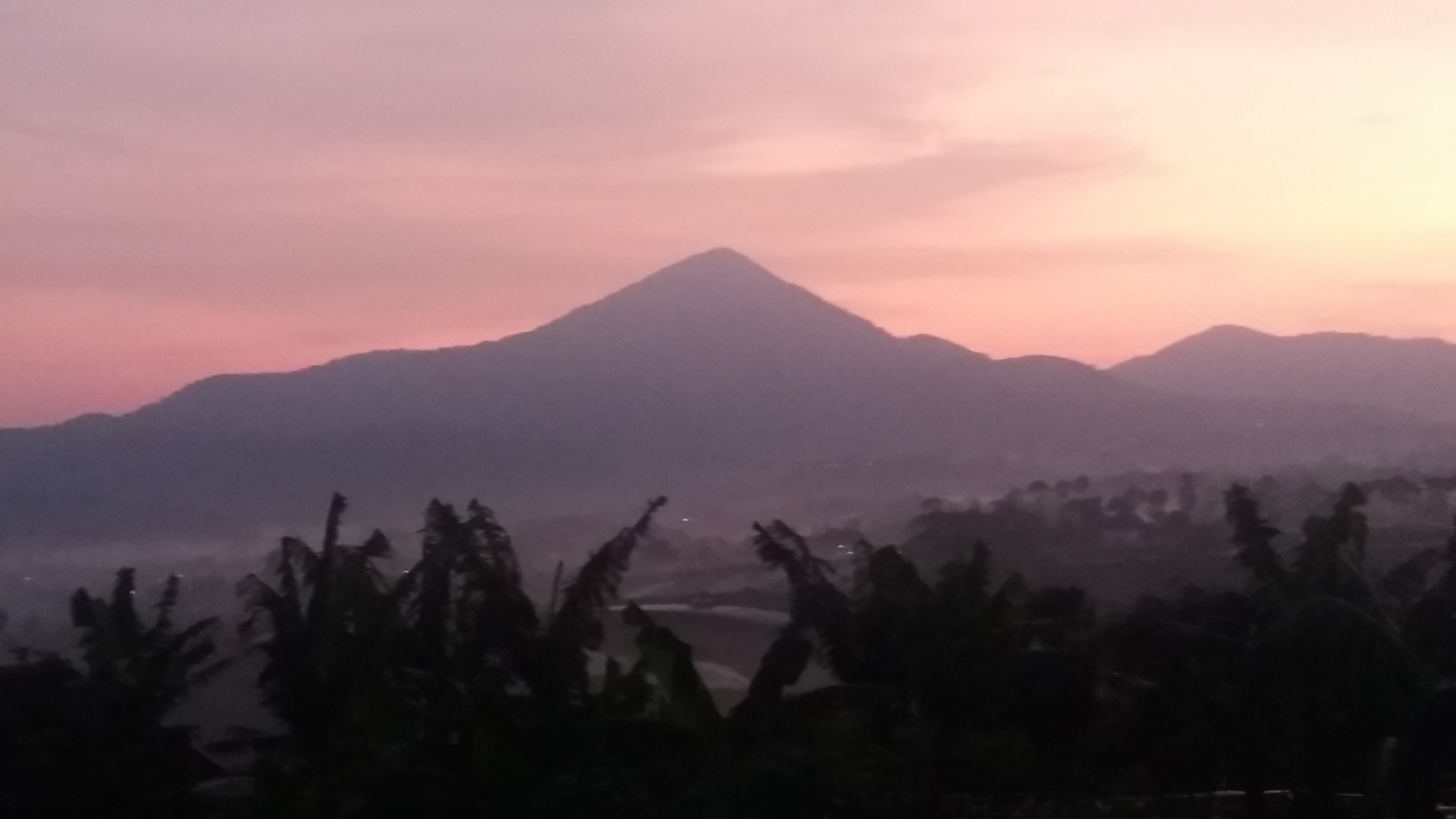
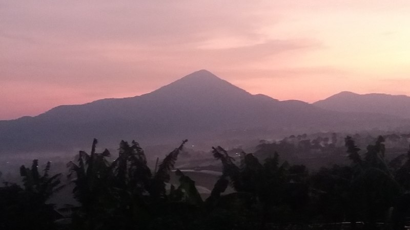
[edit]| Description | gunung bukit tunggul di Jawa Barat, Indonesia | ||
| Date | 16 Nopémber, 2019 | ||
| Source | Damel sorangan | ||
| Author | Geologi Bumi | ||
| Permission (Reusing this file) |
I, the copyright holder of this work, hereby publish it under the following licenses: This file is licensed under the Creative Commons Attribution-Share Alike 4.0 International license.
You may select the license of your choice. |

| Camera location | | View this and other nearby images on: OpenStreetMap |
|---|
File history
Click on a date/time to view the file as it appeared at that time.
| Date/Time | Thumbnail | Dimensions | User | Comment | |
|---|---|---|---|---|---|
| current | 10:41, 16 November 2019 | | 4,128 × 2,322 (1.77 MB) | Astrom Geo (talk | contribs) | {{Information |Description= gunung bukit tunggul di Jawa Barat, Indonesia |Source= Damel sorangan |Date= 16 Nopémber, 2019 |Author= Geologi Bumi |Permission= {{self|cc-by-sa-4.0|GFDL}} |other_versions= }} |
You cannot overwrite this file.
File usage on Commons
There are no pages that use this file.
File usage on other wikis
The following other wikis use this file:
- Usage on id.wikipedia.org