File:Häggsjövik med vy över Häggsjön i bakgrunden.jpg
Jump to navigation
Jump to search

Size of this preview: 400 × 600 pixels. Other resolutions: 160 × 240 pixels | 320 × 480 pixels | 512 × 768 pixels | 682 × 1,024 pixels | 2,048 × 3,072 pixels.
Original file (2,048 × 3,072 pixels, file size: 2.89 MB, MIME type: image/jpeg)
Captions
Captions
Add a one-line explanation of what this file represents
Summary
[edit]
| Description |
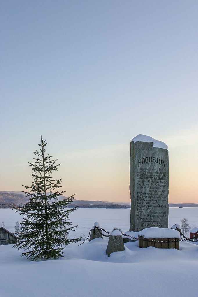
Svenska: Den centrala stenen med gammal information om Häggsjön.
Häggsjövik är en by i Hotagens distrikt (Hotagens socken) i Krokoms kommun belägen ungefär 10 mil från Östersund längs fiskevägen (väg 340). SCB klassade orten som en småort fram till 1995 Byn som grundades 1766 har under de senaste decennierna drabbats av avfolkning och tidigare verksamheter som två livsmedelsaffärer, grundskola med klasserna 1-6, snickeri, taxi och åkeri har försvunnit. I området finns gott ädelfiske. |
| Date | |
| Source | Own work |
| Author | Joakim Berndes |
| Camera location | | View this and other nearby images on: OpenStreetMap |
|---|
Licensing
[edit]
I, the copyright holder of this work, hereby publish it under the following license:
This file is licensed under the Creative Commons Attribution-Share Alike 4.0 International license.
- You are free:
- to share – to copy, distribute and transmit the work
- to remix – to adapt the work
- Under the following conditions:
- attribution – You must give appropriate credit, provide a link to the license, and indicate if changes were made. You may do so in any reasonable manner, but not in any way that suggests the licensor endorses you or your use.
- share alike – If you remix, transform, or build upon the material, you must distribute your contributions under the same or compatible license as the original.
File history
Click on a date/time to view the file as it appeared at that time.
| Date/Time | Thumbnail | Dimensions | User | Comment | |
|---|---|---|---|---|---|
| current | 21:25, 30 July 2016 | | 2,048 × 3,072 (2.89 MB) | Jberndes (talk | contribs) | User created page with UploadWizard |
You cannot overwrite this file.
File usage on Commons
There are no pages that use this file.
File usage on other wikis
The following other wikis use this file:
- Usage on sv.wikipedia.org
- Usage on www.wikidata.org