File:Hallingdal.svg
Jump to navigation
Jump to search

Size of this PNG preview of this SVG file: 557 × 599 pixels. Other resolutions: 223 × 240 pixels | 446 × 480 pixels | 714 × 768 pixels | 952 × 1,024 pixels | 1,904 × 2,048 pixels | 700 × 753 pixels.
Original file (SVG file, nominally 700 × 753 pixels, file size: 29 KB)
Captions
Captions
Add a one-line explanation of what this file represents
Summary
[edit]
| Description |
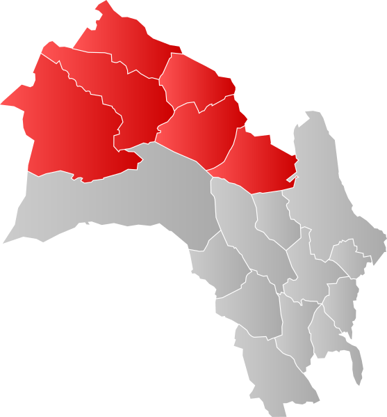
English: Map of the traditional district of Hallingdal within Buskerud County.
Norsk bokmål: Kart over det tradisjonelle distriktet Hallingdal innenfor Buskerud fylkeskommune. |
| Date | |
| Source | Own work |
| Author | Worldlydev |
Licensing
[edit]
I, the copyright holder of this work, hereby publish it under the following license:
| This file is made available under the Creative Commons CC0 1.0 Universal Public Domain Dedication. | |
| The person who associated a work with this deed has dedicated the work to the public domain by waiving all of their rights to the work worldwide under copyright law, including all related and neighboring rights, to the extent allowed by law. You can copy, modify, distribute and perform the work, even for commercial purposes, all without asking permission.
|
File history
Click on a date/time to view the file as it appeared at that time.
| Date/Time | Thumbnail | Dimensions | User | Comment | |
|---|---|---|---|---|---|
| current | 17:23, 3 July 2024 | | 700 × 753 (29 KB) | Worldlydev (talk | contribs) | Updated per 01.01.2024 |
| 20:52, 8 October 2020 |  | 998 × 984 (133 KB) | Worldlydev (talk | contribs) | gradient fix | |
| 19:08, 16 April 2020 |  | 998 × 984 (135 KB) | Worldlydev (talk | contribs) | Uploaded own work with UploadWizard |
You cannot overwrite this file.
File usage on Commons
The following page uses this file:
File usage on other wikis
The following other wikis use this file:
- Usage on en.wikipedia.org
- Usage on no.wikipedia.org