File:Haseldorfer Binnenelbe in the morning 03.jpg
Jump to navigation
Jump to search

Size of this preview: 800 × 449 pixels. Other resolutions: 320 × 180 pixels | 640 × 359 pixels | 1,024 × 575 pixels | 1,280 × 719 pixels | 2,560 × 1,438 pixels | 6,240 × 3,504 pixels.
Original file (6,240 × 3,504 pixels, file size: 5.32 MB, MIME type: image/jpeg)
Captions
Captions
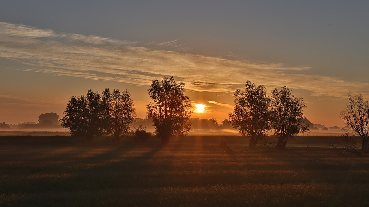
Sunrise over Haseldorfer Binnenelbe
Summary
[edit]
| Description |
English: Beautiful nature |
| Date | |
| Source | Own work |
| Author | Peter Schade |
| Camera location | | View this and other nearby images on: OpenStreetMap |
|---|
Licensing
[edit]
I, the copyright holder of this work, hereby publish it under the following license:
This file is licensed under the Creative Commons Attribution-Share Alike 4.0 International license.
- You are free:
- to share – to copy, distribute and transmit the work
- to remix – to adapt the work
- Under the following conditions:
- attribution – You must give appropriate credit, provide a link to the license, and indicate if changes were made. You may do so in any reasonable manner, but not in any way that suggests the licensor endorses you or your use.
- share alike – If you remix, transform, or build upon the material, you must distribute your contributions under the same or compatible license as the original.
This image was uploaded as part of Wiki Loves Earth 2019.
|
 |
File history
Click on a date/time to view the file as it appeared at that time.
| Date/Time | Thumbnail | Dimensions | User | Comment | |
|---|---|---|---|---|---|
| current | 12:03, 21 May 2019 | | 6,240 × 3,504 (5.32 MB) | ShadowPS (talk | contribs) | User created page with UploadWizard |
You cannot overwrite this file.
File usage on Commons
The following page uses this file:
Metadata
Categories:
- Sunrises of Schleswig-Holstein
- Morning in Germany
- Haseldorfer Marsch
- Naturschutzgebiet Haseldorfer Binnenelbe mit Elbvorland
- Trees in Schleswig-Holstein in June
- Crepuscular rays at sunrise
- Mist in Schleswig-Holstein
- Yellow clouds in Germany
- Crepuscular rays in Germany
- Trees at sunrise in Germany
- Photographic silhouettes of trees
- Orange sunrises of Germany
- Clouds and blue sky in Schleswig-Holstein
- FFH-Gebiet Schleswig-Holsteinisches Elbästuar und angrenzende Flächen