File:Hautes-Pyrénées department relief location map.jpg
Jump to navigation
Jump to search
Size of this preview: 459 × 599 pixels. Other resolutions: 184 × 240 pixels | 368 × 480 pixels | 675 × 881 pixels.
Original file (675 × 881 pixels, file size: 253 KB, MIME type: image/jpeg)
Captions
Captions
Add a one-line explanation of what this file represents
Summary[edit]
| Description |
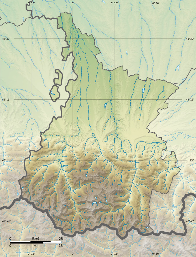
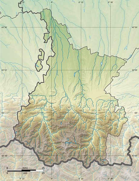
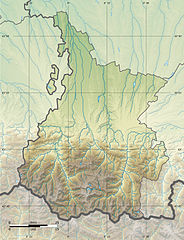
Français : Carte physique vierge du département du Hautes-Pyrénées, France, destinée à la géolocalisation.
|
| Date | 15:59, 24 February 2013 (UTC) |
| Source |
Own work. English: Data sources:
Français : Sources des données :
|
| Author | |
| Other versions |
|
| Attribution (required by the license) | © Hawk-Eye / Wikimedia Commons / |
Licensing[edit]
This file is licensed under the Creative Commons Attribution-Share Alike 3.0 Unported license.
Attribution: © Hawk-Eye
- You are free:
- to share – to copy, distribute and transmit the work
- to remix – to adapt the work
- Under the following conditions:
- attribution – You must give appropriate credit, provide a link to the license, and indicate if changes were made. You may do so in any reasonable manner, but not in any way that suggests the licensor endorses you or your use.
- share alike – If you remix, transform, or build upon the material, you must distribute your contributions under the same or compatible license as the original.
File history
Click on a date/time to view the file as it appeared at that time.
| Date/Time | Thumbnail | Dimensions | User | Comment | |
|---|---|---|---|---|---|
| current | 15:59, 24 February 2013 | | 675 × 881 (253 KB) | Hawk-Eye (talk | contribs) | == {{int:filedesc}} == {{Information |Description= {{Multilingual description |en= Blank physical/administrative map of the department of Hautes-Pyrénées, France, for geo-location... |
You cannot overwrite this file.
File usage on Commons
The following page uses this file:
File usage on other wikis
The following other wikis use this file:
- Usage on eo.wikipedia.org
- Usage on fr.wikipedia.org
- Tarbes
- Lourdes
- Louey
- Campan
- Pic du Midi de Bigorre
- Vignemale
- Turon de Néouvielle
- Pic du Balaïtous
- Bagnères-de-Bigorre
- Gavarnie
- Chelle-Debat
- Modèle:Infobox Montagne
- Cirque de Gavarnie
- Madiran
- Col du Tourmalet
- La Mongie
- Arbéost
- Col du Soulor
- Val d'Azun
- Saint-Sever-de-Rustan
- Arras-en-Lavedan
- Pic de Néouvielle
- Pic du Marboré
- Pic des Spijeoles
- Pic Palas
- Tour du Marboré
- Casque du Marboré
- Pic du Taillon
- Grand Astazou
- Épaule du Marboré
- Pic de la Cascade oriental
- Pic de la Cascade occidental
- Petit Vignemale
- Massif du Vignemale
- Massif du Néouvielle
- Réserve naturelle nationale du Néouvielle
- Horgues
- Grottes de Gargas
- Saint-Lary-Soulan
- Lac d'Aumar
- Pic Long
- Pic Badet
- Pic d'Estaragne
- Lac d'Orédon
- Lac de Cap de Long
- Rabastens-de-Bigorre
View more global usage of this file.