File:Haverstock in Camden.svg
Jump to navigation
Jump to search

Size of this PNG preview of this SVG file: 642 × 600 pixels. Other resolutions: 257 × 240 pixels | 514 × 480 pixels | 822 × 768 pixels | 1,096 × 1,024 pixels | 2,192 × 2,048 pixels | 1,355 × 1,266 pixels.
Original file (SVG file, nominally 1,355 × 1,266 pixels, file size: 150 KB)
Captions
Captions
Add a one-line explanation of what this file represents
Summary
[edit]
| Description |
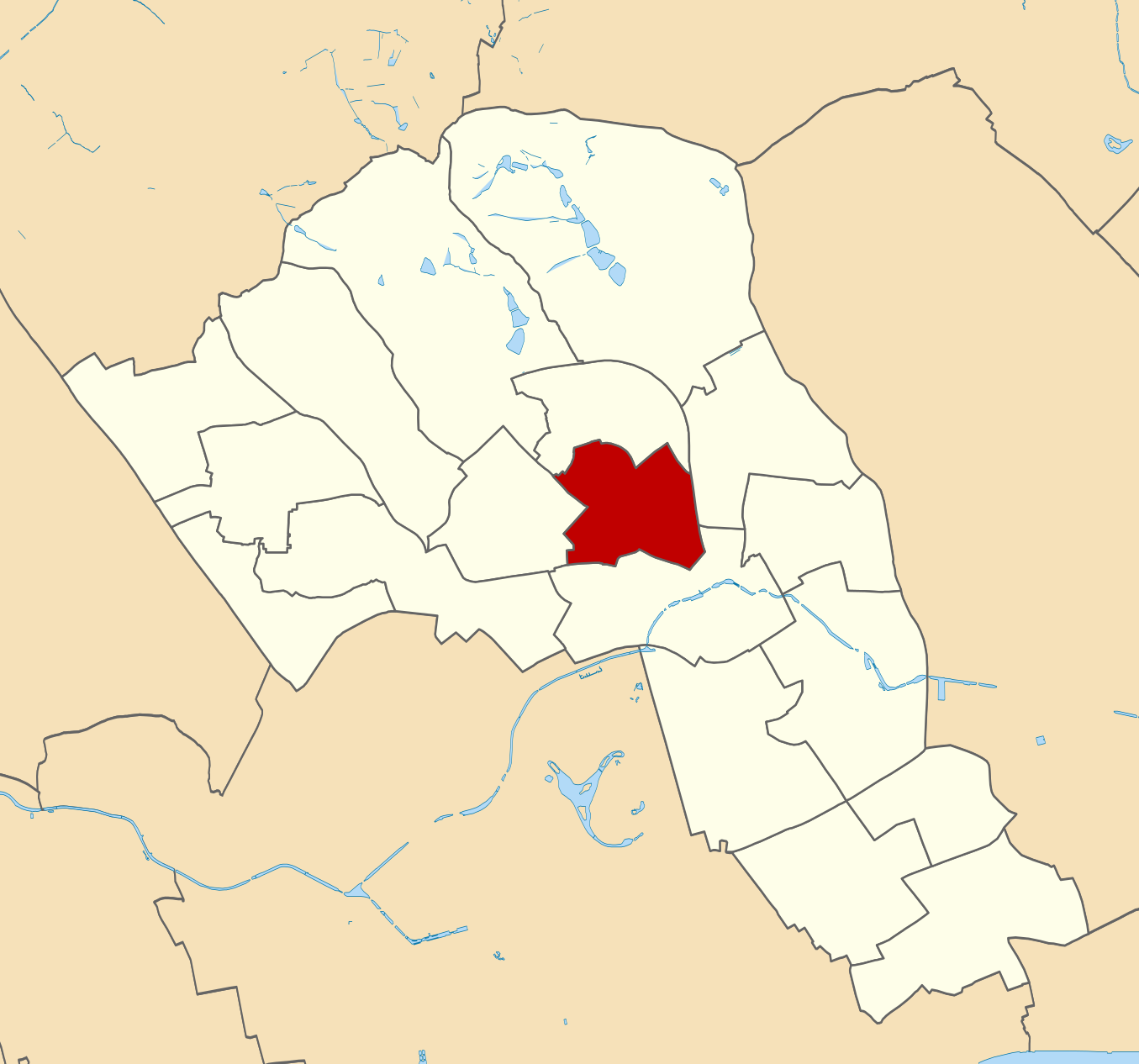
English: Blank map of the London Borough of Camden showing the location of the Haverstock ward from 2002. |
| Date | |
| Source | File:Camden_London_UK_blank_ward_map.svg |
| Author | Nilfanion |
Licensing
[edit]
This file is licensed under the Creative Commons Attribution 3.0 Unported license.
- You are free:
- to share – to copy, distribute and transmit the work
- to remix – to adapt the work
- Under the following conditions:
- attribution – You must give appropriate credit, provide a link to the license, and indicate if changes were made. You may do so in any reasonable manner, but not in any way that suggests the licensor endorses you or your use.
File history
Click on a date/time to view the file as it appeared at that time.
| Date/Time | Thumbnail | Dimensions | User | Comment | |
|---|---|---|---|---|---|
| current | 09:00, 31 March 2020 | | 1,355 × 1,266 (150 KB) | Dummelaksen (talk | contribs) | Uploaded a work by Nilfanion from https://commons.wikimedia.org/wiki/File:Camden_London_UK_blank_ward_map.svg with UploadWizard |
You cannot overwrite this file.
File usage on Commons
There are no pages that use this file.