File:Hawkinson Creek Wet Prairie.jpg
Jump to navigation
Jump to search

Size of this preview: 800 × 451 pixels. Other resolutions: 320 × 180 pixels | 640 × 361 pixels | 1,024 × 578 pixels | 1,280 × 722 pixels | 2,560 × 1,444 pixels | 9,499 × 5,358 pixels.
Original file (9,499 × 5,358 pixels, file size: 34.24 MB, MIME type: image/jpeg)
Captions
Captions
Add a one-line explanation of what this file represents
Summary
[edit]
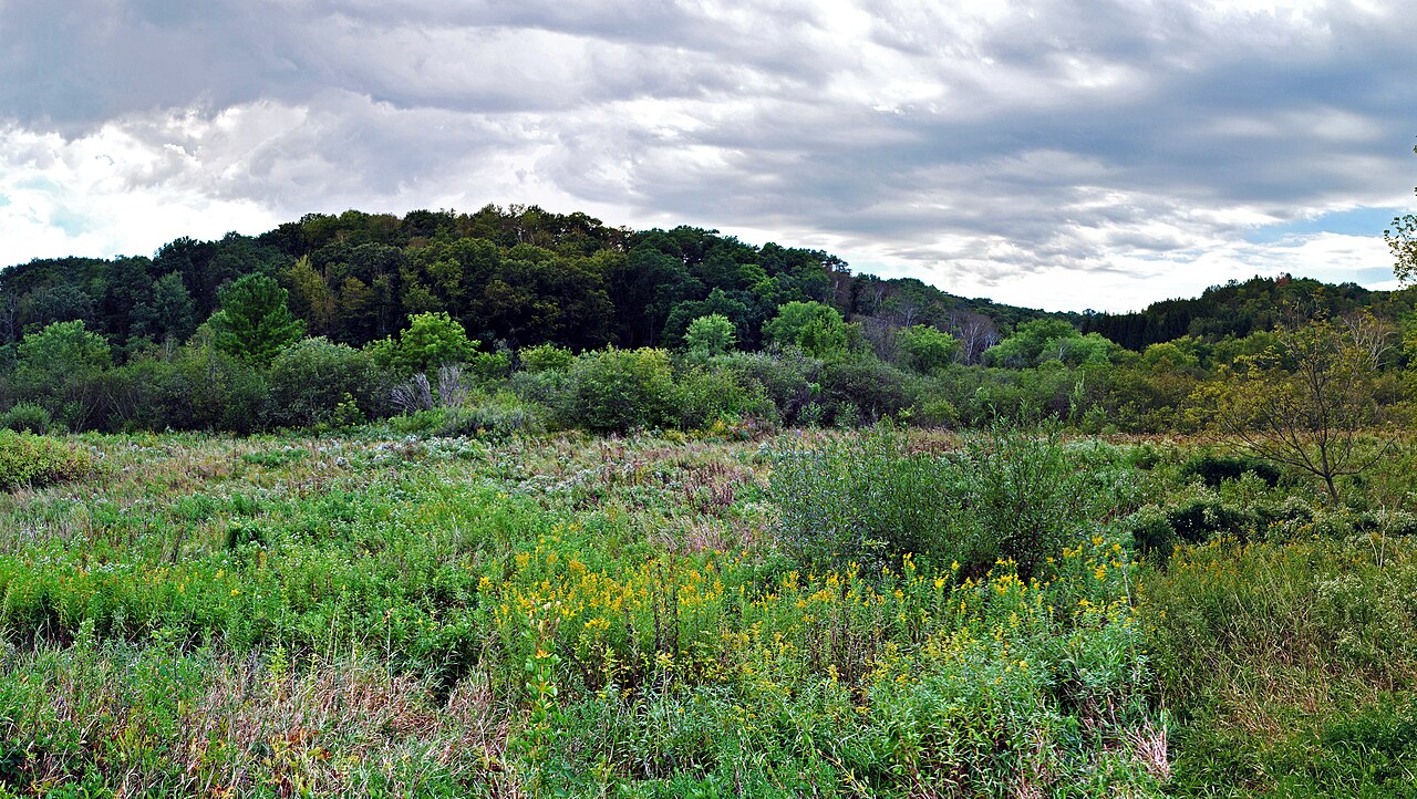
| Description | SNA #626, Trempealeau Co., WI |
| Date | |
| Source | Hawkinson Creek Wet Prairie State Natural Area |
| Author | Aaron Carlson from Lake Mills, WI, USA |
| Camera location | | View this and other nearby images on: OpenStreetMap |
|---|
Licensing
[edit]
This file is licensed under the Creative Commons Attribution-Share Alike 2.0 Generic license.
- You are free:
- to share – to copy, distribute and transmit the work
- to remix – to adapt the work
- Under the following conditions:
- attribution – You must give appropriate credit, provide a link to the license, and indicate if changes were made. You may do so in any reasonable manner, but not in any way that suggests the licensor endorses you or your use.
- share alike – If you remix, transform, or build upon the material, you must distribute your contributions under the same or compatible license as the original.
| This image was originally posted to Flickr by aarongunnar at https://flickr.com/photos/59003943@N00/7964848744 (archive). It was reviewed on 2 June 2018 by FlickreviewR 2 and was confirmed to be licensed under the terms of the cc-by-sa-2.0. |
File history
Click on a date/time to view the file as it appeared at that time.
| Date/Time | Thumbnail | Dimensions | User | Comment | |
|---|---|---|---|---|---|
| current | 15:05, 2 June 2018 | | 9,499 × 5,358 (34.24 MB) | LittleT889 (talk | contribs) | Transferred from Flickr via #flickr2commons |
You cannot overwrite this file.
File usage on Commons
The following page uses this file:
File usage on other wikis
The following other wikis use this file:
- Usage on en.wikipedia.org