File:Heceta Beach, Oregon.JPG
Jump to navigation
Jump to search
Size of this preview: 800 × 531 pixels. Other resolutions: 320 × 213 pixels | 640 × 425 pixels | 1,024 × 680 pixels | 1,280 × 850 pixels | 2,560 × 1,700 pixels | 4,288 × 2,848 pixels.
Original file (4,288 × 2,848 pixels, file size: 5.38 MB, MIME type: image/jpeg)
Captions
Captions
Add a one-line explanation of what this file represents
Summary
[edit]
| Description |
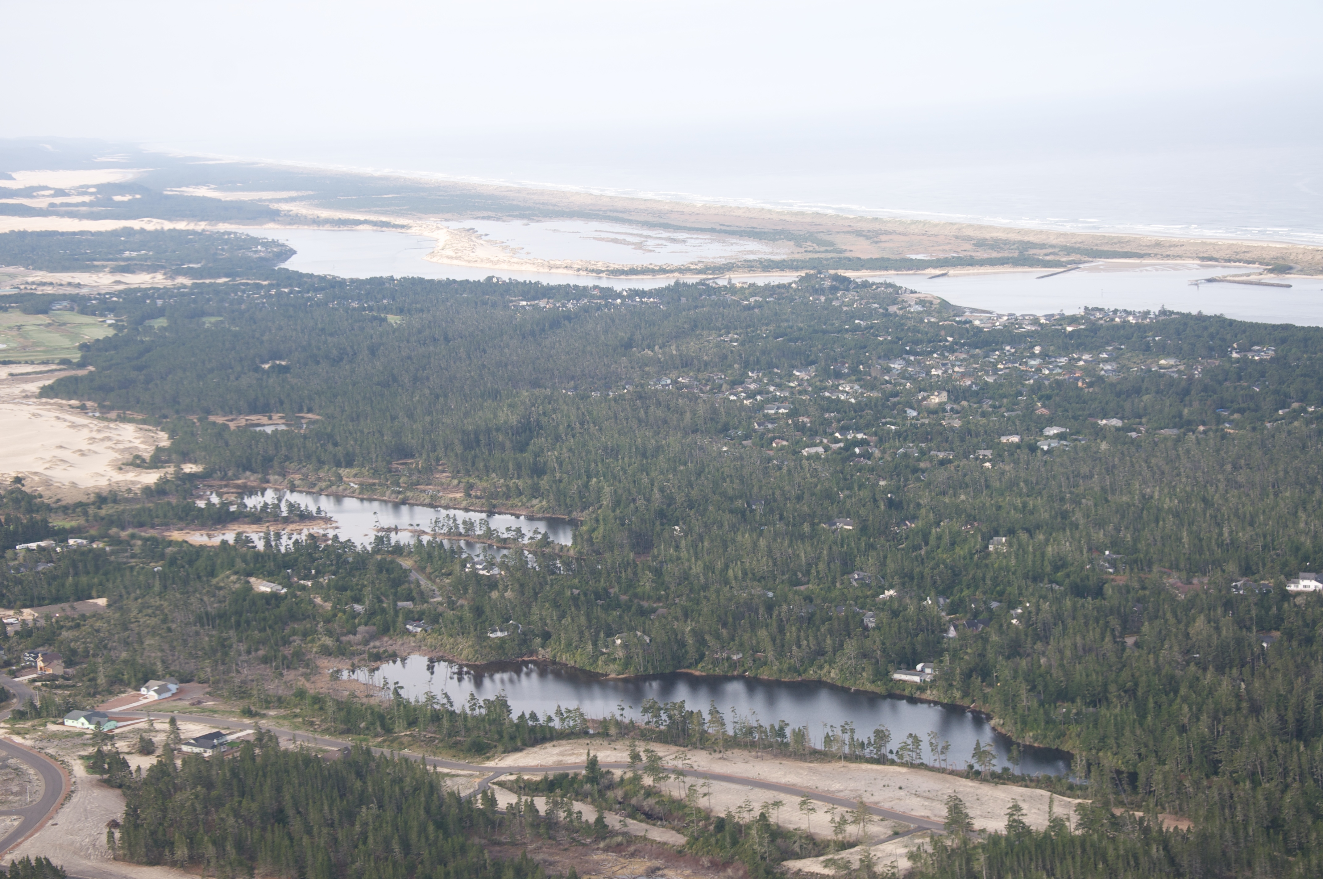
English: An aerial view of Heceta Beach, an unincorporated community along the coast in Lane County, Oregon |
| Date | |
| Source | https://www.flickr.com/photos/sbeebe/3472084342/ |
| Author | Sam Beebe |
| Camera location | | View this and other nearby images on: OpenStreetMap |
|---|
Licensing
[edit]
This file is licensed under the Creative Commons Attribution 2.0 Generic license.
- You are free:
- to share – to copy, distribute and transmit the work
- to remix – to adapt the work
- Under the following conditions:
- attribution – You must give appropriate credit, provide a link to the license, and indicate if changes were made. You may do so in any reasonable manner, but not in any way that suggests the licensor endorses you or your use.
| This image, originally posted to Flickr, was reviewed on 24 July 2011 by the administrator or reviewer Ww2censor, who confirmed that it was available on Flickr under the stated license on that date. |
File history
Click on a date/time to view the file as it appeared at that time.
| Date/Time | Thumbnail | Dimensions | User | Comment | |
|---|---|---|---|---|---|
| current | 22:49, 23 July 2011 | | 4,288 × 2,848 (5.38 MB) | Jsayre64 (talk | contribs) | {{Information |Description ={{en|1=An aerial view of Heceta Beach, an unincorporated community along the coast in Lane County, Oregon}} |Source =http://www.flickr.com/photos/sbeebe/3472084342/ |Author =Sam Beebe |Date =2009-04 |
You cannot overwrite this file.
File usage on Commons
The following page uses this file:
File usage on other wikis
The following other wikis use this file:
- Usage on azb.wikipedia.org
- Usage on en.wikipedia.org
- Usage on fa.wikipedia.org
- Usage on lld.wikipedia.org
- Usage on www.wikidata.org