File:Herceg Novi map.png
Jump to navigation
Jump to search

Size of this preview: 591 × 599 pixels. Other resolutions: 237 × 240 pixels | 474 × 480 pixels | 758 × 768 pixels | 1,010 × 1,024 pixels | 2,514 × 2,548 pixels.
Original file (2,514 × 2,548 pixels, file size: 1.95 MB, MIME type: image/png)
Captions
Captions
Add a one-line explanation of what this file represents
Summary[edit]
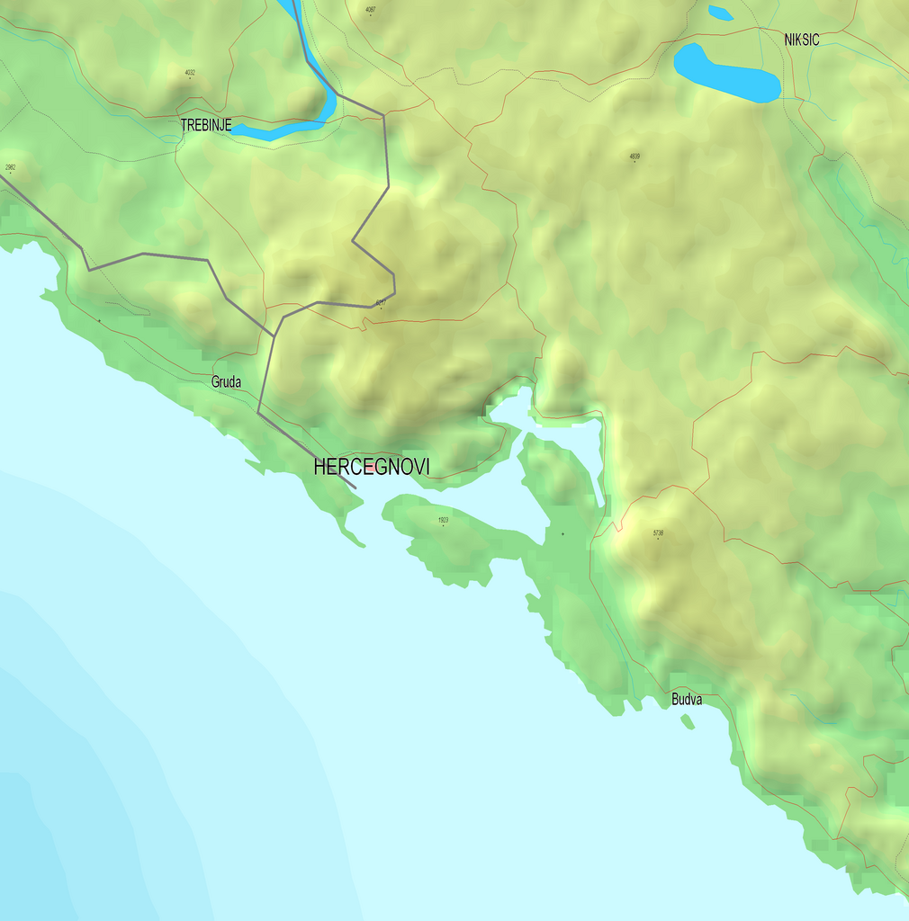
| Description | Map of the border region between Croatia and Montenegro. Boka Kotorska Bay. |
| Date | |
| Source | Reference map provided by Demis Mapper 6 |
| Author | Minestrone |
Licensing[edit]
| I, the copyright holder of this work, release this work into the public domain. This applies worldwide. In some countries this may not be legally possible; if so: I grant anyone the right to use this work for any purpose, without any conditions, unless such conditions are required by law. |
File history
Click on a date/time to view the file as it appeared at that time.
| Date/Time | Thumbnail | Dimensions | User | Comment | |
|---|---|---|---|---|---|
| current | 17:48, 6 January 2007 | | 2,514 × 2,548 (1.95 MB) | Minestrone (talk | contribs) | Enhanced map |
| 00:26, 13 December 2006 |  | 1,758 × 1,837 (1.15 MB) | Minestrone (talk | contribs) | {{Information |Description=Map of the border region between Croatia and Montenegro. Boka Kotorska Bay. |Source=Reference map provided by Demis Mapper 6 |Date=2006-12-13 |Author=Minestrone |Permission=See below |other_versions= }} |
You cannot overwrite this file.
File usage on Commons
The following page uses this file:
- File:Kotor map.png (file redirect)
File usage on other wikis
The following other wikis use this file:
- Usage on bs.wikipedia.org
- Usage on de.wikipedia.org
- Usage on es.wikipedia.org
- Usage on fr.wikipedia.org
- Usage on hu.wikipedia.org
- Usage on nn.wikipedia.org
- Usage on no.wikipedia.org
- Usage on sq.wikipedia.org