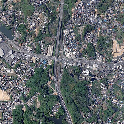
File:Higashi-Sue Interchange 20220428.jpg
Jump to navigation
Jump to search

Size of this preview: 600 × 600 pixels. Other resolutions: 240 × 240 pixels | 480 × 480 pixels | 768 × 768 pixels | 1,200 × 1,200 pixels.
Original file (1,200 × 1,200 pixels, file size: 702 KB, MIME type: image/jpeg)
Captions
Captions
Add a one-line explanation of what this file represents
Summary
[edit]
| Description |
日本語: 国土地理院 地図・空中写真閲覧サービスの空中写真 (CCG20223-C12-11)を加工して作成 |
| Date | |
| Source | https://mapps.gsi.go.jp/maplibSearch.do?specificationId=2021096 |
| Author | 国土地理院 地図・空中写真閲覧サービスでダウンロードした空中写真を加工して作成 |
Licensing
[edit]

|
The copyright holder of this file, the Ministry of Land, Infrastructure, Transport and Tourism of Japan, allows anyone to use it for any purpose, provided that the copyright holder is properly attributed. Redistribution, derivative work, commercial use, and all other use is permitted. |
Attribution:
Copyright © National Land Image Information (Color Aerial Photographs), Ministry of Land, Infrastructure, Transport and Tourism
|
 |
This image is copyrighted by the Ministry of Land, Infrastructure, Transport and Tourism of Japan. For terms of use, see the stipulation to use of National Land Information (in Japanese) and message from MLIT (in Japanese and English). When you display this image on an article, include the following phrase in the description: "Made based on National Land Image Information (Color Aerial Photographs), Ministry of Land, Infrastructure, Transport and Tourism".
|
File history
Click on a date/time to view the file as it appeared at that time.
| Date/Time | Thumbnail | Dimensions | User | Comment | |
|---|---|---|---|---|---|
| current | 11:30, 10 October 2023 | | 1,200 × 1,200 (702 KB) | SRIA (talk | contribs) | Uploaded a work by 国土地理院 地図・空中写真閲覧サービスでダウンロードした空中写真を加工して作成 from https://mapps.gsi.go.jp/maplibSearch.do?specificationId=2021096 with UploadWizard |
You cannot overwrite this file.
File usage on Commons
There are no pages that use this file.
File usage on other wikis
The following other wikis use this file:
- Usage on ja.wikipedia.org