File:Higashieki-1974.jpg
Jump to navigation
Jump to search
Size of this preview: 536 × 600 pixels. Other resolutions: 214 × 240 pixels | 429 × 480 pixels | 686 × 768 pixels | 915 × 1,024 pixels | 2,346 × 2,625 pixels.
Original file (2,346 × 2,625 pixels, file size: 1.79 MB, MIME type: image/jpeg)
Captions
Captions
Add a one-line explanation of what this file represents
Summary
[edit]
| Description |
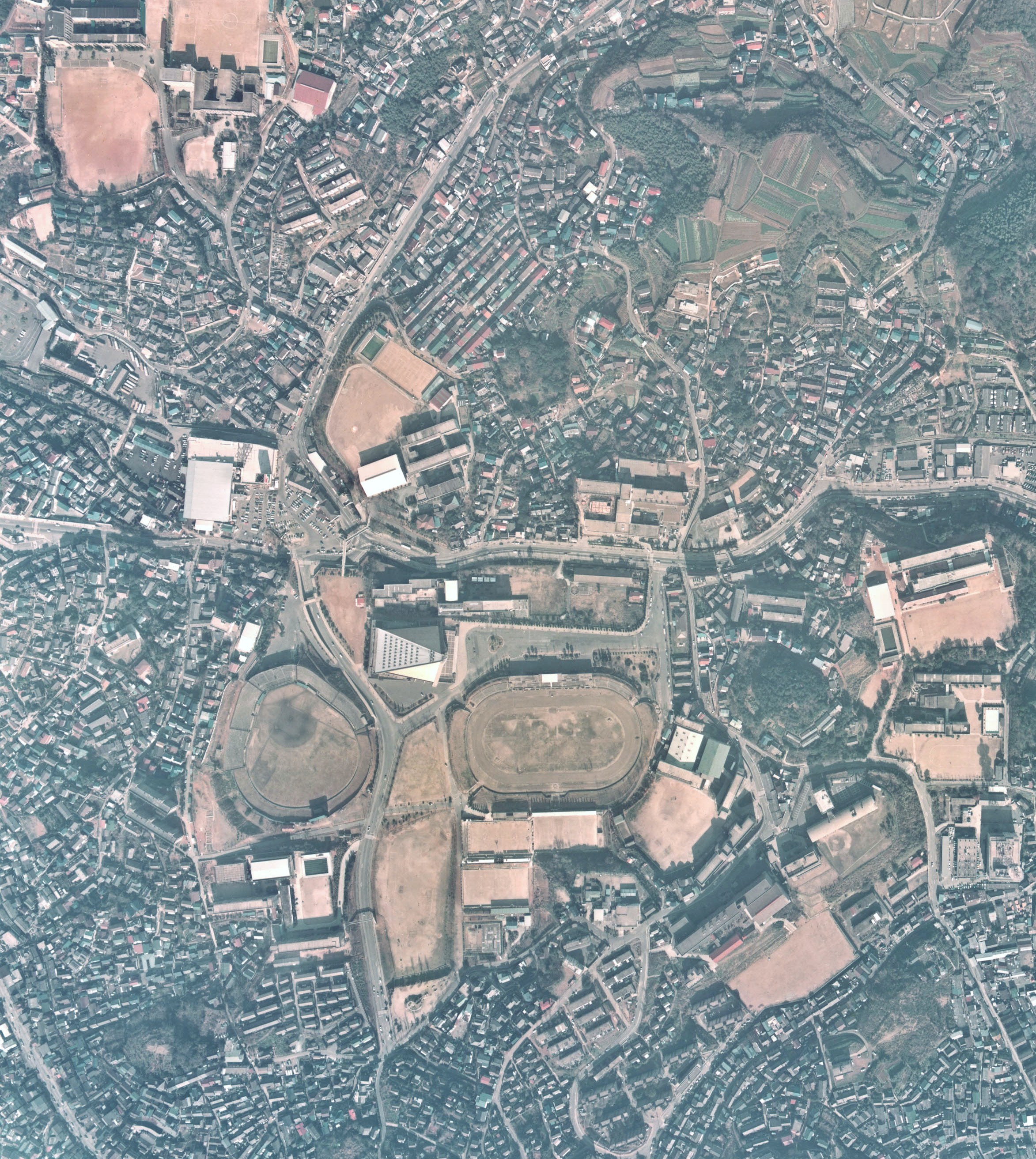
English: Higashieki-Area,Shimonoseki-City,Yamaguchi-Pref.,Japan
日本語:1974年当時の下関市向洋町(東駅地区)上空 |
| Source | 国土交通省国土計画局GISシステム |
| Author | 国土交通省 |
Licensing
[edit]

|
The copyright holder of this file, the Ministry of Land, Infrastructure, Transport and Tourism of Japan, allows anyone to use it for any purpose, provided that the copyright holder is properly attributed. Redistribution, derivative work, commercial use, and all other use is permitted. |
Attribution:
Copyright © National Land Image Information (Color Aerial Photographs), Ministry of Land, Infrastructure, Transport and Tourism
|
 |
This image is copyrighted by the Ministry of Land, Infrastructure, Transport and Tourism of Japan. For terms of use, see the stipulation to use of National Land Information (in Japanese) and message from MLIT (in Japanese and English). When you display this image on an article, include the following phrase in the description: "Made based on National Land Image Information (Color Aerial Photographs), Ministry of Land, Infrastructure, Transport and Tourism".
|
File history
Click on a date/time to view the file as it appeared at that time.
| Date/Time | Thumbnail | Dimensions | User | Comment | |
|---|---|---|---|---|---|
| current | 15:05, 21 August 2009 | | 2,346 × 2,625 (1.79 MB) | Bsx (talk | contribs) | {{Information |Description={{en|1=Higashieki-Area,Shimonoseki-City,Yamaguchi-Pref.,Japan}} {{ja|1=1974年当時の下関市向洋町(東駅地区)上空}} |Source=[http://www.mlit.go.jp/kokudokeikaku/gis/index.html 国土交通省国土計画局GISシ |
You cannot overwrite this file.
File usage on Commons
There are no pages that use this file.