File:High level of Marne river at Vaires 2.jpg
Jump to navigation
Jump to search

Size of this preview: 800 × 600 pixels. Other resolutions: 320 × 240 pixels | 640 × 480 pixels | 1,024 × 768 pixels | 1,280 × 960 pixels | 2,560 × 1,920 pixels | 4,416 × 3,312 pixels.
Original file (4,416 × 3,312 pixels, file size: 2.65 MB, MIME type: image/jpeg)
Captions
Captions
Add a one-line explanation of what this file represents
Summary
[edit]
| Description |
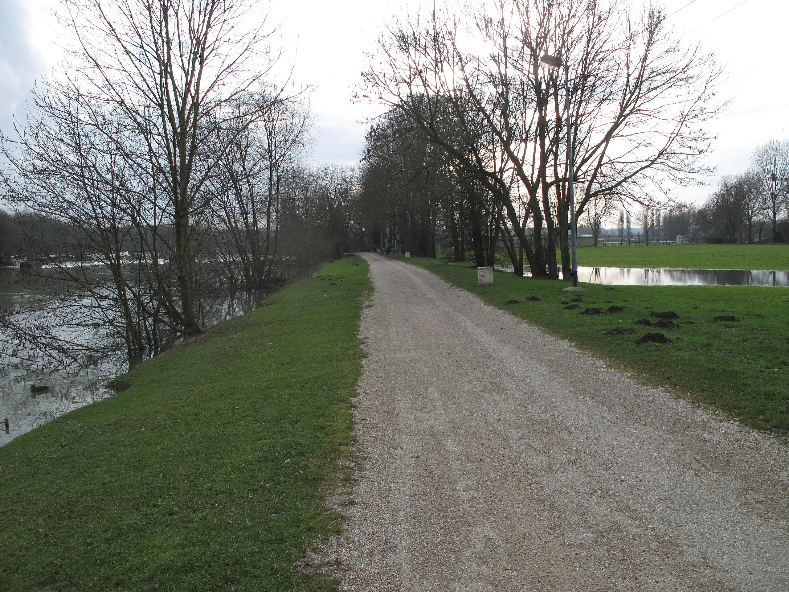
English: High level of river Marne, in Vaires-sur-Marne (Seine-et-Marne, France). It is the pedestrian path on the right bank (or north side). Water infiltrated through the dike and looks like a pond. We see also some molehills.
Français : Niveau élevé de la Marne à Vaires-sur-Marne, Seine-et-Marne. C'est le sentier sur la rive droite (ou côté nord). L'eau s'est infiltré à travers la digue et forme un étang. On voit aussi des taupinières (molehill en anglais). |
| Date | |
| Source | Own work |
| Author | Tangopaso |
| Camera location | | View this and other nearby images on: OpenStreetMap |
|---|
Licensing
[edit]
| I, the copyright holder of this work, release this work into the public domain. This applies worldwide. In some countries this may not be legally possible; if so: I grant anyone the right to use this work for any purpose, without any conditions, unless such conditions are required by law. |
File history
Click on a date/time to view the file as it appeared at that time.
| Date/Time | Thumbnail | Dimensions | User | Comment | |
|---|---|---|---|---|---|
| current | 20:19, 25 February 2013 | | 4,416 × 3,312 (2.65 MB) | Tangopaso (talk | contribs) | == {{int:filedesc}} == {{Information |Description= {{en|1=High level of river Marne, in Vaires-sur-Marne (Seine-et-Marne, France). It is the pedestrian path on the right bank (or north side). Water infiltrated through the dike and looks like a pond. We... |
You cannot overwrite this file.
File usage on Commons
There are no pages that use this file.