File:Historicka mapa Cech 14 stol.jpg
Jump to navigation
Jump to search

Size of this preview: 720 × 600 pixels. Other resolutions: 288 × 240 pixels | 576 × 480 pixels | 922 × 768 pixels | 1,229 × 1,024 pixels | 2,458 × 2,048 pixels | 6,407 × 5,338 pixels.
Original file (6,407 × 5,338 pixels, file size: 12.3 MB, MIME type: image/jpeg)
Captions
Captions
Add a one-line explanation of what this file represents
Summary
[edit]
| Description |
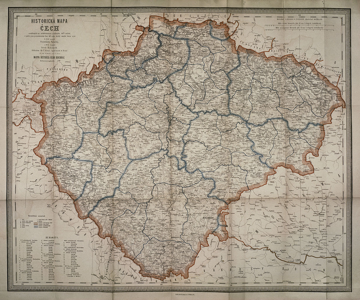
Čeština: Rekonstrukční mapa zachycující Čechy v 14. století, druhé opravené vydání. |
| Date | |
| Source | Kladsko - proměny středoevropského regionu - historický atlas, cd-rom |
| Author | František Palacký, Josef Kalousek |
Licensing
[edit]
|
This work is in the public domain in its country of origin and other countries and areas where the copyright term is the author's life plus 70 years or fewer. | |
| This file has been identified as being free of known restrictions under copyright law, including all related and neighboring rights. | |
File history
Click on a date/time to view the file as it appeared at that time.
| Date/Time | Thumbnail | Dimensions | User | Comment | |
|---|---|---|---|---|---|
| current | 18:39, 5 July 2012 | | 6,407 × 5,338 (12.3 MB) | Octopus moldavicus (talk | contribs) |
You cannot overwrite this file.
File usage on Commons
The following page uses this file: