File:Hlubočepy 289.jpg
Jump to navigation
Jump to search
Size of this preview: 528 × 599 pixels. Other resolutions: 211 × 240 pixels | 423 × 480 pixels | 857 × 973 pixels.
Original file (857 × 973 pixels, file size: 157 KB, MIME type: image/jpeg)
Captions
Captions
Add a one-line explanation of what this file represents
| Description |
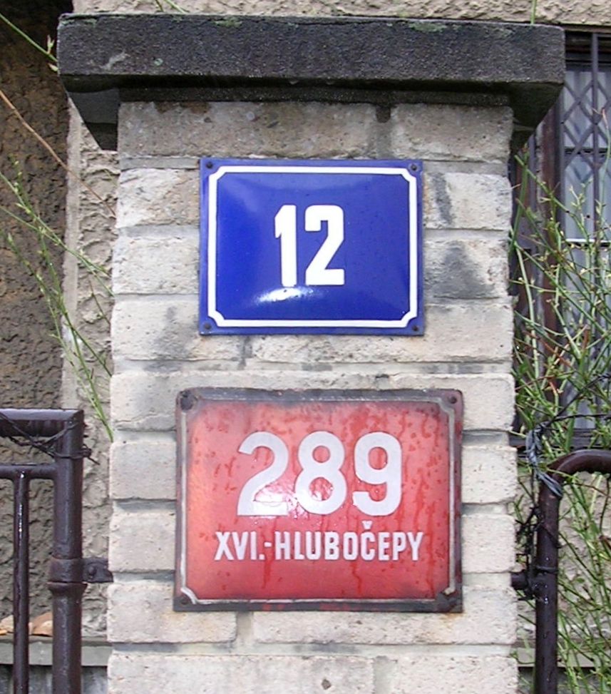
Čeština: Domovní čísla, Praha, Hlubočepy, Nad pomníkem 289/12. Červené číslo popisné z doby před rokem 1949, modré číslo orientační novější |
||
| Date | |||
| Source | Self-photographed | ||
| Author | cs:User:ŠJů | ||
| Permission (Reusing this file) |
|
||
| Other versions |
 |
| Camera location | | View this and other nearby images on: OpenStreetMap |
|---|
File history
Click on a date/time to view the file as it appeared at that time.
| Date/Time | Thumbnail | Dimensions | User | Comment | |
|---|---|---|---|---|---|
| current | 02:50, 28 February 2009 | | 857 × 973 (157 KB) | ŠJů (talk | contribs) | rotated |
| 06:20, 18 May 2007 |  | 912 × 1,007 (613 KB) | ŠJů (talk | contribs) | {{Information |Description={{cs|Domovní čísla, Praha, Hlubočepy. Červené číslo popisné z doby před rokem 1949, modré číslo orientační novější}} |Date=17.04.2006 |Source={{cs|vlastní fotografie}} {{en|own work}} |Author=[[:cs:User:ŠJů| |
You cannot overwrite this file.
File usage on Commons
The following 3 pages use this file:
File usage on other wikis
The following other wikis use this file:
- Usage on cs.wikipedia.org