File:Hokkaidō with southern Kuril geolocalisation.svg
Jump to navigation
Jump to search

Size of this PNG preview of this SVG file: 800 × 518 pixels. Other resolutions: 320 × 207 pixels | 640 × 414 pixels | 1,024 × 663 pixels | 1,280 × 829 pixels | 2,560 × 1,658 pixels | 2,460 × 1,593 pixels.
Original file (SVG file, nominally 2,460 × 1,593 pixels, file size: 1.41 MB)
Captions
Captions
Add a one-line explanation of what this file represents
Summary[edit]
| Description |
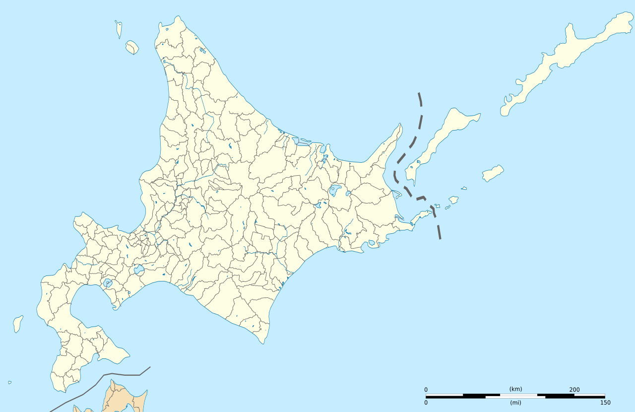
English: Blank administrative location map of Hokkaido in Japan, with southern Kuril Islands(Occupied by Russia, dispute between Japan).
|
||
| Date | |||
| Source | File:Hokkaidō géolocalisation.svg - coast, lakes, rivers, boundaries | ||
| Author | Original map by Bourrichon (talk) - fr:Bourrichon, retouched by Peka | ||
| Permission (Reusing this file) |
|
||
| Other versions |
|


Licensing[edit]
This file is licensed under the Creative Commons Attribution-Share Alike 2.0 France license.
Attribution: Bourrichon (atelier graphique)
- You are free:
- to share – to copy, distribute and transmit the work
- to remix – to adapt the work
- Under the following conditions:
- attribution – You must give appropriate credit, provide a link to the license, and indicate if changes were made. You may do so in any reasonable manner, but not in any way that suggests the licensor endorses you or your use.
- share alike – If you remix, transform, or build upon the material, you must distribute your contributions under the same or compatible license as the original.

File history
Click on a date/time to view the file as it appeared at that time.
| Date/Time | Thumbnail | Dimensions | User | Comment | |
|---|---|---|---|---|---|
| current | 14:04, 3 April 2022 | | 2,460 × 1,593 (1.41 MB) | Peka (talk | contribs) | Uploaded a work by Original map by Bourrichon (<span class="signature-talk">talk</span>) - fr:Bourrichon, retouched by Peka from File:Hokkaidō géolocalisation.svg - coast, lakes, rivers, boundaries with UploadWizard |
You cannot overwrite this file.
File usage on Commons
The following 4 pages use this file:
File usage on other wikis
The following other wikis use this file:
- Usage on eo.wikipedia.org
- Usage on fr.wikipedia.org
- Usage on ja.wikipedia.org
- Usage on ko.wikipedia.org