File:Holder-Wright Works.jpg
Jump to navigation
Jump to search

Size of this preview: 800 × 450 pixels. Other resolutions: 320 × 180 pixels | 640 × 360 pixels | 1,024 × 576 pixels | 1,280 × 720 pixels | 2,816 × 1,584 pixels.
Original file (2,816 × 1,584 pixels, file size: 1.37 MB, MIME type: image/jpeg)
Captions
Captions
Add a one-line explanation of what this file represents
|
This is an image of a place or building that is listed on the National Register of Historic Places in the United States of America. Its reference number is 74001496. |
| Camera location | | View this and other nearby images on: OpenStreetMap |
|---|
| Description |
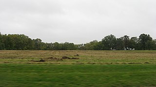
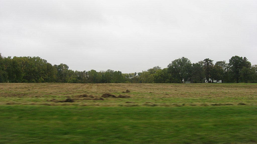
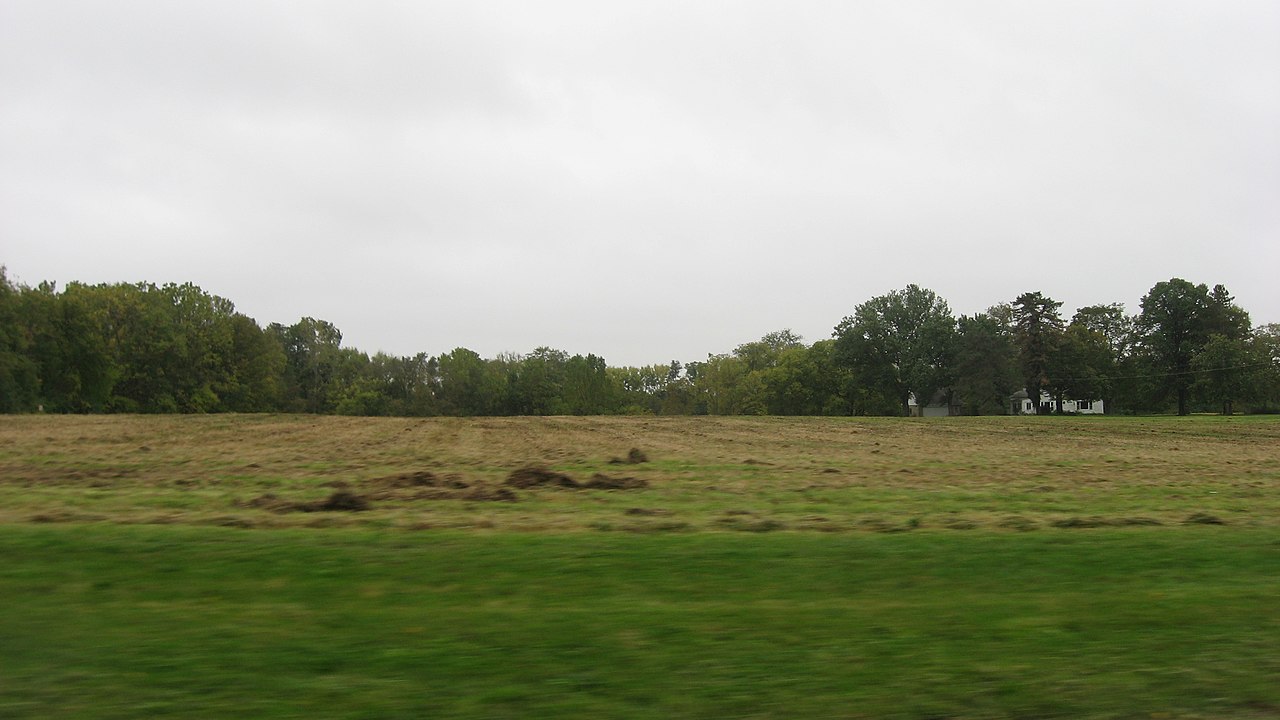
English: Fields on the southern side of Bright Road in Dublin, Ohio, United States, east of the Scioto River. Although they cannot be seen in this image, the site is the location of a complex of earthworks built by Hopewellian peoples; known as the Holder-Wright Works, they cannot easily be discerned except from the air. As an archaeological site, the works are listed on the National Register of Historic Places. |
||
| Date | Taken on 30 September 2011 | ||
| Source | Own work | ||
| Author | Nyttend | ||
| Permission (Reusing this file) |
|
File history
Click on a date/time to view the file as it appeared at that time.
| Date/Time | Thumbnail | Dimensions | User | Comment | |
|---|---|---|---|---|---|
| current | 12:42, 7 October 2011 | | 2,816 × 1,584 (1.37 MB) | Nyttend (talk | contribs) | {{Location|40|6|50|N|83|6|22|W}} {{Information |Description={{en|Fields on the southern side of Bright Road in {{w|Dublin, Ohio|Dublin}}, {{w|Ohio}}, {{w|United States}}, east of the {{w|Scioto River}}. Although they cannot be seen in this image, the sit |
You cannot overwrite this file.
File usage on Commons
There are no pages that use this file.
File usage on other wikis
The following other wikis use this file:
- Usage on en.wikipedia.org