File:Huairen County Map.svg
Jump to navigation
Jump to search

Size of this PNG preview of this SVG file: 538 × 370 pixels. Other resolutions: 320 × 220 pixels | 640 × 440 pixels | 1,024 × 704 pixels | 1,280 × 880 pixels | 2,560 × 1,761 pixels.
Original file (SVG file, nominally 538 × 370 pixels, file size: 31 KB)
Captions
Captions
Add a one-line explanation of what this file represents
Summary
[edit]
| Description |
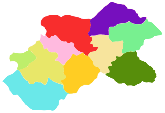
English: Map of Huairen County, Shanxi, China. Diffrent towns and townships are coloured.
中文:山西省怀仁县地图,图中示出不同乡镇。 |
| Date | |
| Source | Own work |
| Author | 如沐西风 |
Licensing
[edit]
| I, the copyright holder of this work, release this work into the public domain. This applies worldwide. In some countries this may not be legally possible; if so: I grant anyone the right to use this work for any purpose, without any conditions, unless such conditions are required by law. |
File history
Click on a date/time to view the file as it appeared at that time.
| Date/Time | Thumbnail | Dimensions | User | Comment | |
|---|---|---|---|---|---|
| current | 03:50, 21 June 2012 | | 538 × 370 (31 KB) | 如沐西风 (talk | contribs) | Resize |
| 03:37, 21 June 2012 |  | 612 × 792 (36 KB) | 如沐西风 (talk | contribs) | {{Information |Description ={{en|1=Map of Huairen County, Shanxi, China. Diffrent towns and townships are coloured.}} {{zh|1=山西省怀仁县地图,图中示出不同乡镇。}} |Source ={{own}} |Author =[[User:如沐西风|如�... |
You cannot overwrite this file.
File usage on Commons
There are no pages that use this file.
File usage on other wikis
The following other wikis use this file:
- Usage on zh.wikipedia.org