File:I-485.svg

Original file (SVG file, nominally 751 × 601 pixels, file size: 14 KB)
Captions
Captions
This file is in the public domain because it comes from the Manual on Uniform Traffic Control Devices, sign number M1-1, which states specifically on page I-1 that:
|
.svg) |

|
This work includes material that may be protected as a trademark in some jurisdictions. If you want to use it, you have to ensure that you have the legal right to do so and that you do not infringe any trademark rights. See our general disclaimer. This tag does not indicate the copyright status of the attached work. A normal copyright tag is still required. See Commons:Licensing. |
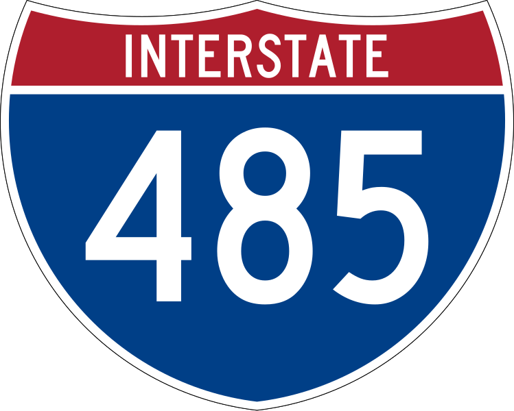
750 mm by 600 mm (30 in by 24 in) Interstate shield, made to the specifications of the 2004 edition of Standard Highway Signs (sign M1-1). Uses the Roadgeek 2005 fonts archive copy at the Wayback Machine. (United States law does not permit the copyrighting of typeface designs, and the fonts are meant to be copies of a U.S. Government-produced work anyway.) Colors are from [1] (Pantone Red 187 and Blue 294), converted to RGB by [2]. The outside border has a width of 1 (1 mm) and a color of black so it shows up; in reality, signs have no outside border.
File history
Click on a date/time to view the file as it appeared at that time.
| Date/Time | Thumbnail | Dimensions | User | Comment | |
|---|---|---|---|---|---|
| current | 05:38, 20 May 2007 | | 751 × 601 (14 KB) | Ltljltlj (talk | contribs) | |
| 06:08, 5 April 2006 |  | 751 × 601 (12 KB) | SPUI~commonswiki (talk | contribs) | {{spuiother}} 750 mm by 600 mm (30 in by 24 in) Interstate shield, made to the specifications of the [http://mutcd.fhwa.dot.gov/SHSm/Guide.pdf 2004 edition of Standard Highway Signs] (sign M1-1). Uses the [http://www.triskele.com/fonts/index.html Roadgeek |
You cannot overwrite this file.
File usage on Commons
The following 5 pages use this file:
File usage on other wikis
The following other wikis use this file:
- Usage on de.wikipedia.org
- Usage on en.wikipedia.org
- North Carolina
- Interstate 77
- Mecklenburg County, North Carolina
- Interstate 85
- U.S. Route 21
- U.S. Route 29
- U.S. Route 74
- U.S. Route 501
- U.S. Route 521
- Interstate 485
- List of auxiliary Interstate Highways
- Interstate 475 (Georgia)
- Interstate 485 (Georgia)
- North Carolina Highway 24
- North Carolina Highway 51
- North Carolina Highway 84
- North Carolina Highway 160
- North Carolina Highway 16
- Wikipedia:WikiProject U.S. Roads/Redirects/Georgia
- North Carolina Highway 49
- North Carolina Highway 27
- Garden Parkway
- User:MPD01605/Exit lists
- Interstate 77 in North Carolina
- Interstate 85 in North Carolina
- User:MPD01605/Junction template
- User:MPD01605/sandbox2
- User:MPD01605/Roads
- Wikipedia:WikiProject U.S. Roads/Interstate RJL compliance
- Wikipedia:WikiProject U.S. Roads/Redirects/Interstate Highways
- North Carolina Highway 115
- Template:Lynx Red Line
- Lynx Red Line
- Lynx Silver Line
- U.S. Route 29 in North Carolina
- Template:Lynx Silver Line
- User:Vasiliymeshko
- North Carolina Highway 218
- List of highways numbered 485
- List of Interstate Highways in North Carolina
- North Carolina Highway 481
- List of Interstate Highways in Georgia
- User talk:Interstate 285
- Talk:List of auxiliary Interstate Highways/Archive 1
- User:Gz260/Roads/I (USA)/Wikidata
- Monroe Expressway
View more global usage of this file.