File:IJsselbandijk bij Deventer met overstroomde uiterwaarden.JPG
Jump to navigation
Jump to search
Size of this preview: 800 × 600 pixels. Other resolutions: 320 × 240 pixels | 640 × 480 pixels | 1,024 × 768 pixels | 1,280 × 960 pixels | 2,560 × 1,920 pixels | 3,264 × 2,448 pixels.
Original file (3,264 × 2,448 pixels, file size: 2.03 MB, MIME type: image/jpeg)
Captions
Captions
Add a one-line explanation of what this file represents
Summary
[edit]
| Description |
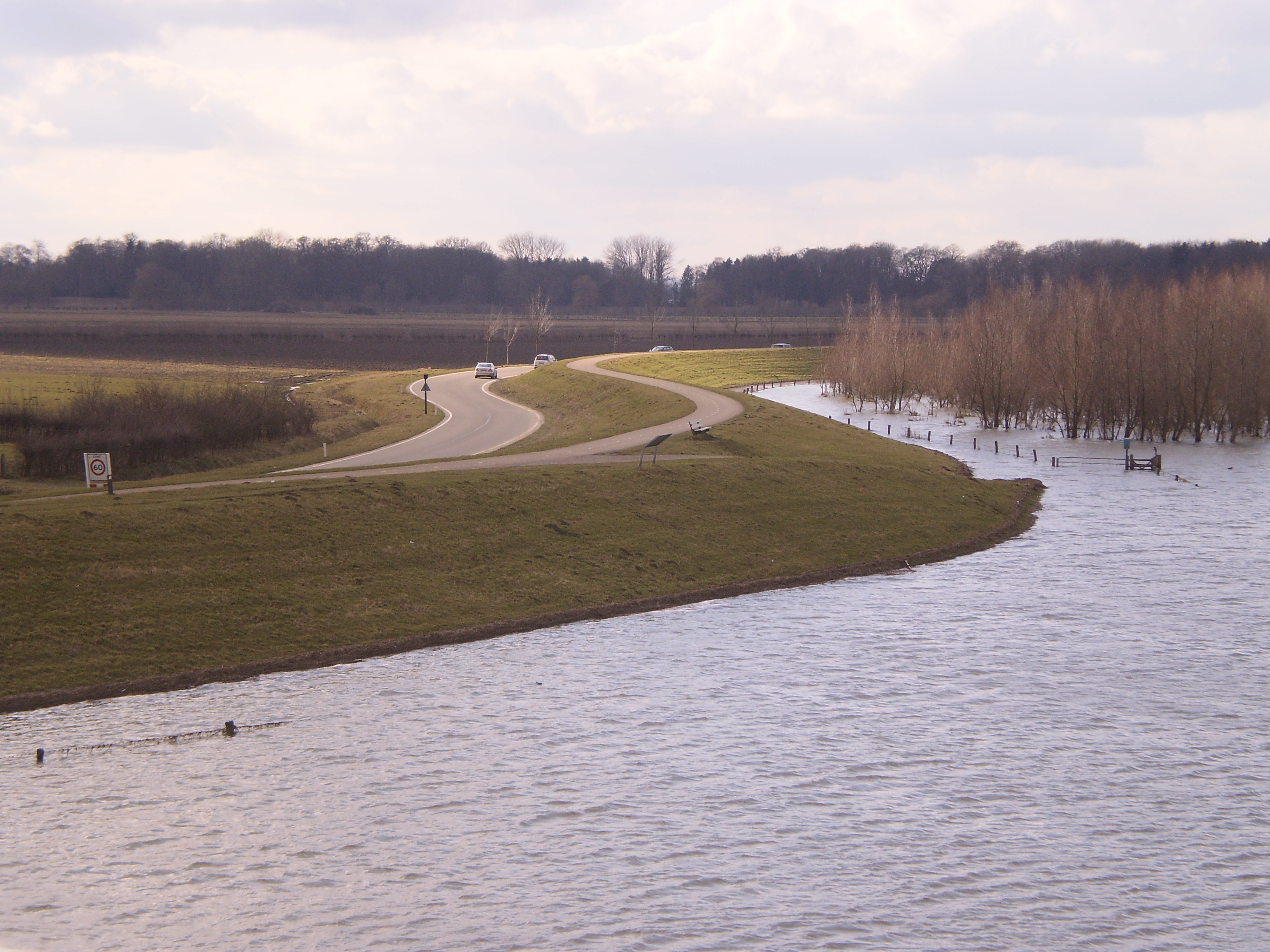
Nederlands: Bandijk langs de IJssel bij Deventer met overstroomde uiterwaarden (natuurgebied Ossenwaard)
English: Dike alongside the IJssel river near Deventer, with flooded river meadow (nature area Ossenwaard |
| Date | |
| Source | Own work |
| Author | Apdency |
| Camera location | | View this and other nearby images on: OpenStreetMap |
|---|
Licensing
[edit]
| I, the copyright holder of this work, release this work into the public domain. This applies worldwide. In some countries this may not be legally possible; if so: I grant anyone the right to use this work for any purpose, without any conditions, unless such conditions are required by law. |
File history
Click on a date/time to view the file as it appeared at that time.
| Date/Time | Thumbnail | Dimensions | User | Comment | |
|---|---|---|---|---|---|
| current | 20:35, 6 March 2010 | | 3,264 × 2,448 (2.03 MB) | Apdency (talk | contribs) | {{Information |Description={{nl|Bandijk langs de IJssel bij Deventer met overstroomde uiterwaarden (natuurgebied Ossenwaard)}} {{en|Dike alongside the IJssel river near Deventer, with flooded river meadow (nature area Ossenwaard}} |Source={{own}} |Date=20 |
You cannot overwrite this file.
File usage on Commons
The following 2 pages use this file:
File usage on other wikis
The following other wikis use this file:
- Usage on fy.wikipedia.org