File:Idalion palace, maps - 02. open air areas map.jpg
Jump to navigation
Jump to search

Size of this preview: 667 × 600 pixels. Other resolutions: 267 × 240 pixels | 534 × 480 pixels | 854 × 768 pixels | 1,139 × 1,024 pixels | 1,482 × 1,333 pixels.
Original file (1,482 × 1,333 pixels, file size: 370 KB, MIME type: image/jpeg)
Captions
Captions
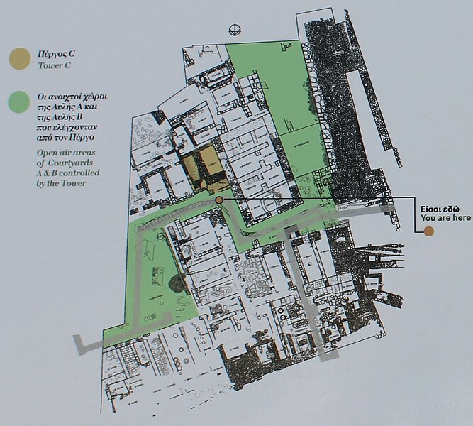
A map of the open air areas in the palace of Idalion
Summary
[edit]
| Description |
עברית: מפת האזורים הפתוחים (שתי החצרות הפנימיות והשביל בינהם) בארמון באידליון העתיקה, מתוך שלט הסבר באתר
English: A map of the open air areas (the two courtyards and the road between them) in the palace in ancient Idalion, from an explanation sign in the site |
| Date | |
| Source | Own work |
| Author | פעמי-עליון |
Licensing
[edit]
I, the copyright holder of this work, hereby publish it under the following license:
This file is licensed under the Creative Commons Attribution-Share Alike 4.0 International license.
- You are free:
- to share – to copy, distribute and transmit the work
- to remix – to adapt the work
- Under the following conditions:
- attribution – You must give appropriate credit, provide a link to the license, and indicate if changes were made. You may do so in any reasonable manner, but not in any way that suggests the licensor endorses you or your use.
- share alike – If you remix, transform, or build upon the material, you must distribute your contributions under the same or compatible license as the original.
File history
Click on a date/time to view the file as it appeared at that time.
| Date/Time | Thumbnail | Dimensions | User | Comment | |
|---|---|---|---|---|---|
| current | 14:35, 11 April 2023 | | 1,482 × 1,333 (370 KB) | פעמי-עליון (talk | contribs) | Uploaded own work with UploadWizard |
You cannot overwrite this file.
File usage on Commons
The following page uses this file:
- File:Idalion palace - open air areas map.jpg (file redirect)