File:Ifpo 21831 Syrie, gouvernorat de Homs, canton d'al-Qaryatayn, région de Qasr el-Heir el-Gharbi et Bir Busseri, vue aérienne verticale.jpg
Jump to navigation
Jump to search

Size of this preview: 757 × 600 pixels. Other resolutions: 303 × 240 pixels | 606 × 480 pixels | 969 × 768 pixels | 1,280 × 1,014 pixels | 1,878 × 1,488 pixels.
Original file (1,878 × 1,488 pixels, file size: 292 KB, MIME type: image/jpeg)
Captions
Captions
Add a one-line explanation of what this file represents
| Photographer |
|
|||||||||||
| Description |
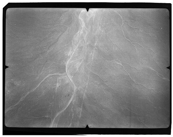
Français : Syrie, gouvernorat de Homs, canton d'al-Qaryatayn, région de Qasr el-Heir el-Gharbi et Bir Busseri, vue aérienne verticale |
|||||||||||
| Depicted place | Qasr al-Hayr al-Gharbi | |||||||||||
| Date |
Taken in 1934 28 February 2020, 19:16:49 (upload date) |
|||||||||||
| Medium | gelatin silver print on sheet film | |||||||||||
| Dimensions | height: 18 cm (7 in); width: 24 cm (9.4 in) | |||||||||||
| Collection |
|
|||||||||||
| Accession number |
hal-02494558 Ifpo-21831 |
|||||||||||
| Object history | French army | |||||||||||
| Credit line |
Français : Institut français du Proche-Orient (Ifpo) ; ALIPH – Alliance internationale pour la protection du patrimoine dans les zones en conflit |
|||||||||||
| Source |
https://hal.archives-ouvertes.fr/hal-02494558 https://hal.archives-ouvertes.fr/hal-02494558/document |
|||||||||||
| Permission (Reusing this file) |
|
|||||||||||
| Mots-clés | Français : Gouvernorat de Homs,Bir al-Busayry,Syrie,Qaṣr al-Ḥayr al-Ġarby,Kasr el-Heir,Al-Busayri,Al-Buṣayry,Bir Busseri,Qasr el-Heir el-Gharbi,Photographie aérienne,Vue aérienne,Archéologie,Photographie aérienne verticale,Cariatein,Qaratin,Karyatayn,Canton d'al-Qaryatayn |
|||||||||||
| Camera location | | View this and other nearby images on: OpenStreetMap |
|---|
File history
Click on a date/time to view the file as it appeared at that time.
| Date/Time | Thumbnail | Dimensions | User | Comment | |
|---|---|---|---|---|---|
| current | 20:21, 18 April 2021 | | 1,878 × 1,488 (292 KB) | Don-vip (talk | contribs) | pattypan 20.04 |
You cannot overwrite this file.
File usage on Commons
The following page uses this file: