File:Ifpo 23156 Syrie, gouvernorat de Tartous, région de Jablé, la tour de Maraclée, vue aérienne oblique.jpg
Jump to navigation
Jump to search
Size of this preview: 740 × 600 pixels. Other resolutions: 296 × 240 pixels | 592 × 480 pixels | 948 × 768 pixels | 1,264 × 1,024 pixels | 2,036 × 1,650 pixels.
Original file (2,036 × 1,650 pixels, file size: 359 KB, MIME type: image/jpeg)
Captions
Captions
Add a one-line explanation of what this file represents
| Photographer |
|
|||||||||||
| Description |
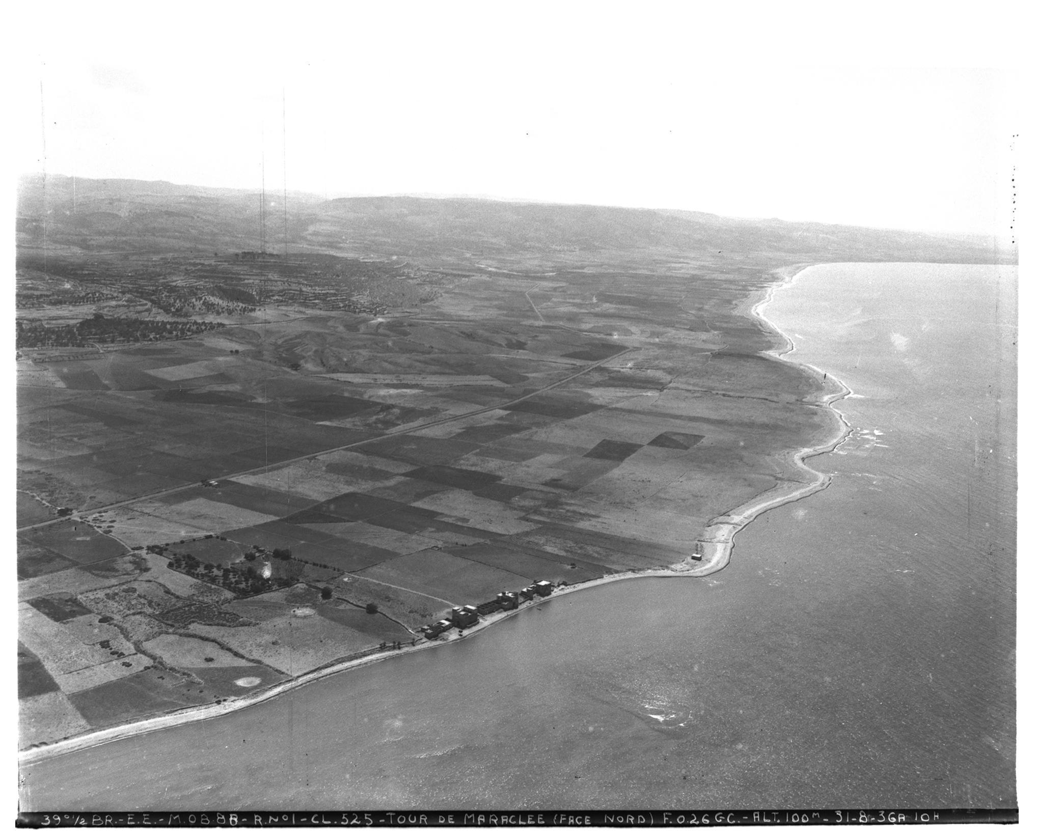
Français : Syrie, gouvernorat de Tartous, région de Jablé, la tour de Maraclée, vue aérienne oblique |
|||||||||||
| Date |
Taken on 31 August 1936 14 February 2020, 15:55:46 (upload date) |
|||||||||||
| Medium | dry plate | |||||||||||
| Dimensions | height: 18 cm (7 in); width: 24 cm (9.4 in) | |||||||||||
| Collection |
|
|||||||||||
| Accession number |
hal-02479658 Ifpo-23156 |
|||||||||||
| Object history | French army | |||||||||||
| Credit line |
Français : Institut français du Proche-Orient (Ifpo) ; ALIPH – Alliance internationale pour la protection du patrimoine dans les zones en conflit |
|||||||||||
| Source |
https://hal.archives-ouvertes.fr/hal-02479658 https://hal.archives-ouvertes.fr/hal-02479658/document |
|||||||||||
| Permission (Reusing this file) |
|
|||||||||||
| Mots-clés | Français : Vue aérienne,Syrie,Archéologie,Photographie aérienne oblique,Gouvernorat de Tartous,Côte,Marqueh,Photographie aérienne,Marquiyah,Marquiyé,Marqiyyat,Région de Jablé,Tour de Maraclée,Maraclée,Khrab Marqiye,Kharab Marqiyah,H̱arāb Marqiyah,Mer |
|||||||||||
| Camera location | | View this and other nearby images on: OpenStreetMap |
|---|
File history
Click on a date/time to view the file as it appeared at that time.
| Date/Time | Thumbnail | Dimensions | User | Comment | |
|---|---|---|---|---|---|
| current | 22:35, 18 April 2021 | | 2,036 × 1,650 (359 KB) | Don-vip (talk | contribs) | pattypan 20.04 |
You cannot overwrite this file.
File usage on Commons
The following page uses this file:
File usage on other wikis
The following other wikis use this file: