File:Ifpo 23251 Syrie, gouvernorat de Hama, district d'al-Suqaylabiyah, région entre Abu Qubays et Deir Mama, vue aérienne verticale.jpg
Jump to navigation
Jump to search
Size of this preview: 800 × 578 pixels. Other resolutions: 320 × 231 pixels | 640 × 462 pixels | 1,024 × 740 pixels | 1,280 × 925 pixels | 2,007 × 1,450 pixels.
Original file (2,007 × 1,450 pixels, file size: 558 KB, MIME type: image/jpeg)
Captions
Captions
Add a one-line explanation of what this file represents
| Photographer |
|
|||||||||||
| Description |
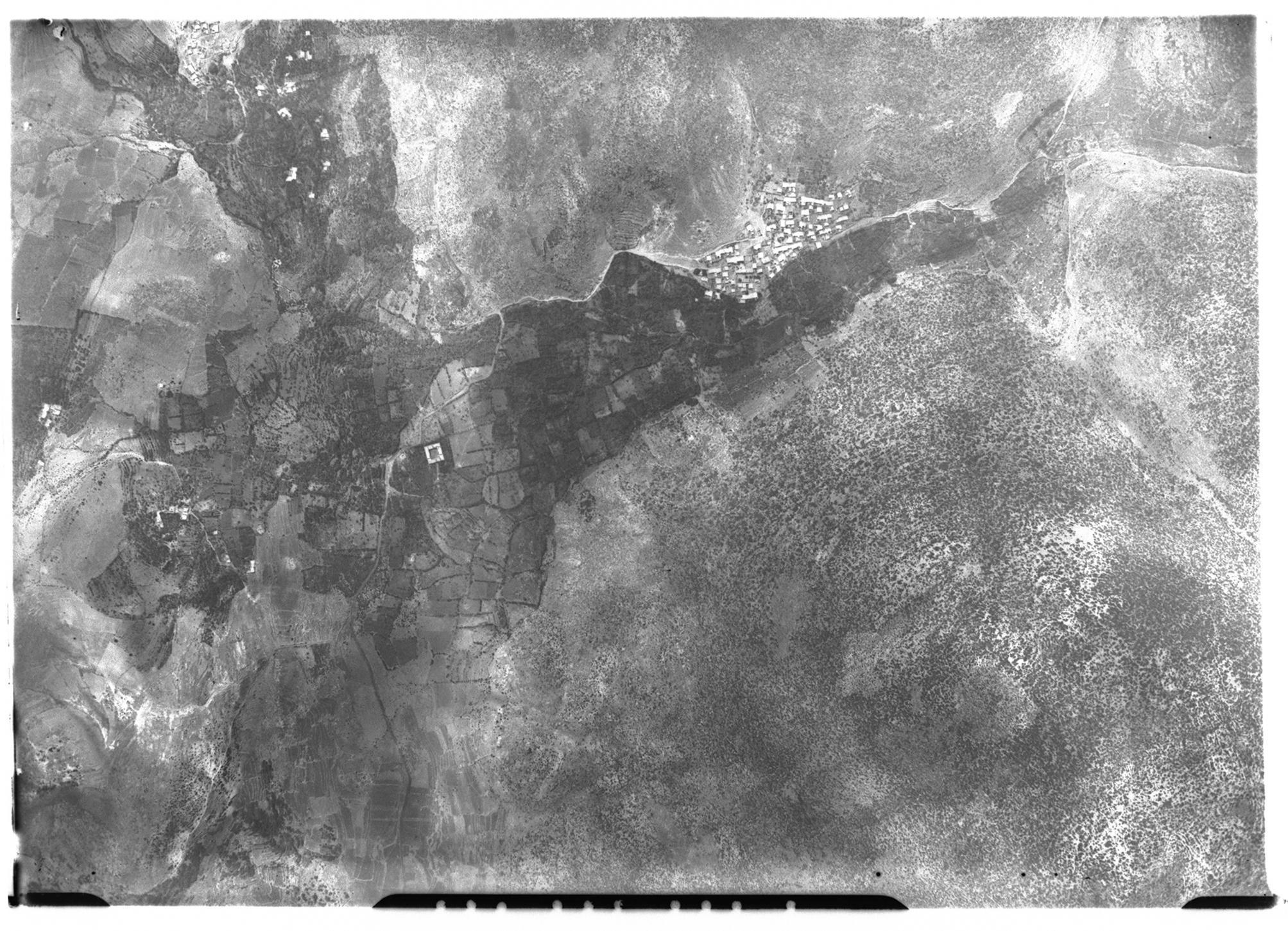
Français : Syrie, gouvernorat de Hama, district d'al-Suqaylabiyah, région entre Abu Qubays et Deir Mama, vue aérienne verticale |
|||||||||||
| Date |
Taken on 19 August 1936 19 February 2020, 13:43:59 (upload date) |
|||||||||||
| Medium | dry plate | |||||||||||
| Dimensions | height: 18 cm (7 in); width: 24 cm (9.4 in) | |||||||||||
| Collection |
|
|||||||||||
| Accession number |
hal-02484492 Ifpo-23251 |
|||||||||||
| Object history | French army | |||||||||||
| Credit line |
Français : Institut français du Proche-Orient (Ifpo) ; ALIPH – Alliance internationale pour la protection du patrimoine dans les zones en conflit |
|||||||||||
| Source |
https://hal.archives-ouvertes.fr/hal-02484492 https://hal.archives-ouvertes.fr/hal-02484492/document |
|||||||||||
| Permission (Reusing this file) |
|
|||||||||||
| Mots-clés | Français : Archéologie,Photographie aérienne,Vue aérienne,Gouvernorat de Hama,Syrie,Abu Qobeis,District d'al-Suqaylabiyah,Photographie aérienne verticale,Abū Qubays,Bochebeis,Bokebeis,Abu Habis,Deir Mama,Dayr Māmā,Jabâl Ansariya,Jabâl an-Nusayrîa,Jabal al-`Alawīyin,Jabâl Bahrâ,Montagnes des Alaouites |
|||||||||||
| Camera location | | View this and other nearby images on: OpenStreetMap |
|---|
File history
Click on a date/time to view the file as it appeared at that time.
| Date/Time | Thumbnail | Dimensions | User | Comment | |
|---|---|---|---|---|---|
| current | 22:46, 18 April 2021 | | 2,007 × 1,450 (558 KB) | Don-vip (talk | contribs) | pattypan 20.04 |
You cannot overwrite this file.
File usage on Commons
The following page uses this file: