File:Illinois 110.svg

Originaldatei (SVG-Datei, Basisgröße: 601 × 601 Pixel, Dateigröße: 10 KB)
Bildtexte
Kurzbeschreibungen
This file is in the public domain because it comes from the Illinois Supplement to the National Manual on Uniform Traffic Control Devices, sign number M1-I100, which states on p. 1 that "the 2009 edition of the Illinois Manual on Uniform Traffic Control Devices (IMUTCD) consists of the December 2009 national Manual on Uniform Traffic Control Devices (MUTCD), including subsequent official revisions thereto, as amended by this Illinois Supplement to the MUTCD." The federal MUTCD states specifically on its page I-1 that:
No provisions of the supplement amend this provision of the MUTCD. |
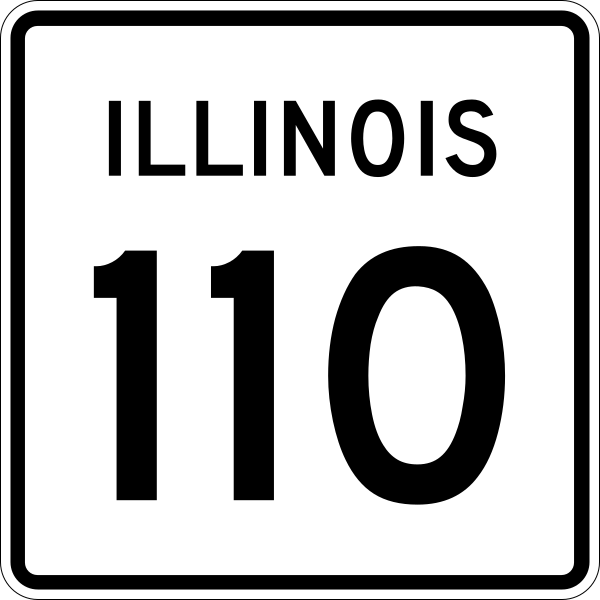
30 in by 24 in (750 mm by 600 mm) Illinois Route shield, made to the specifications of the sign detail (sign M-I100). Uses the Roadgeek 2005 fonts. (United States law does not permit the copyrighting of typeface designs, and the fonts are meant to be copies of a U.S. Government-produced work anyway.) The outside border has a width of 1 (1/16 in) and a color of black so it shows up; in reality, signs have no outside border.
Dateiversionen
Klicke auf einen Zeitpunkt, um diese Version zu laden.
| Version vom | Vorschaubild | Maße | Benutzer | Kommentar | |
|---|---|---|---|---|---|
| aktuell | 23:09, 28. Jul. 2015 | | 601 × 601 (10 KB) | Fredddie (Diskussion | Beiträge) | They're squares and not wides |
| 20:57, 23. Mai 2008 |  | 481 × 385 (12 KB) | Lpangelrob (Diskussion | Beiträge) | upload Inkscape version | |
| 23:20, 13. Apr. 2006 |  | 481 × 385 (10 KB) | SPUI~commonswiki (Diskussion | Beiträge) | {{spuiother}} {{Illinois Route|30|24|750|600}} Category:Illinois Route shields |
Du kannst diese Datei nicht überschreiben.
Dateiverwendung
Die folgenden 4 Seiten verwenden diese Datei:
Globale Dateiverwendung
Die nachfolgenden anderen Wikis verwenden diese Datei:
- Verwendung auf de.wikipedia.org
- Verwendung auf en.wikipedia.org
- Interstate 39
- Interstate 72
- Whiteside County, Illinois
- Rock Island County, Illinois
- Ogle County, Illinois
- McDonough County, Illinois
- Lee County, Illinois
- Kane County, Illinois
- DuPage County, Illinois
- DeKalb County, Illinois
- Cook County, Illinois
- Aurora, Illinois
- Sugar Grove, Illinois
- Macomb, Illinois
- Rock Falls, Illinois
- U.S. Route 30
- Interstate 355
- Dan Ryan Expressway
- Kennedy Expressway
- U.S. Route 150
- Interstate 294
- List of state routes in Illinois
- Illinois Route 5
- Illinois Route 83
- Illinois Route 50
- Illinois Route 43
- Illinois Route 26
- Illinois Route 40
- Illinois Route 53
- Illinois Route 171
- Illinois Route 56
- Illinois Route 47
- Illinois Route 31
- Illinois Route 17
- Roads and expressways in Chicago
- Illinois Route 59
- Illinois Route 251
- Interstate 290 (Illinois)
- Illinois Route 38
- Illinois Route 116
- Interstate 88 (Illinois)
- Interstate 280 (Iowa–Illinois)
- Interstate 172
- Illinois Route 81
- Illinois Route 111
- Illinois Route 336
- Mark Twain Memorial Bridge
- Illinois Route 104
- Wabash Bridge
Weitere globale Verwendungen dieser Datei anschauen.