File:Illuminated buildings on Nam Khan river bank with cloudy sky at sunset in Luang Prabang Laos.jpg
Jump to navigation
Jump to search

Size of this preview: 800 × 500 pixels. Other resolutions: 320 × 200 pixels | 640 × 400 pixels | 1,024 × 640 pixels | 1,280 × 800 pixels | 2,560 × 1,600 pixels | 6,720 × 4,200 pixels.
Original file (6,720 × 4,200 pixels, file size: 9.59 MB, MIME type: image/jpeg)
Captions
Captions
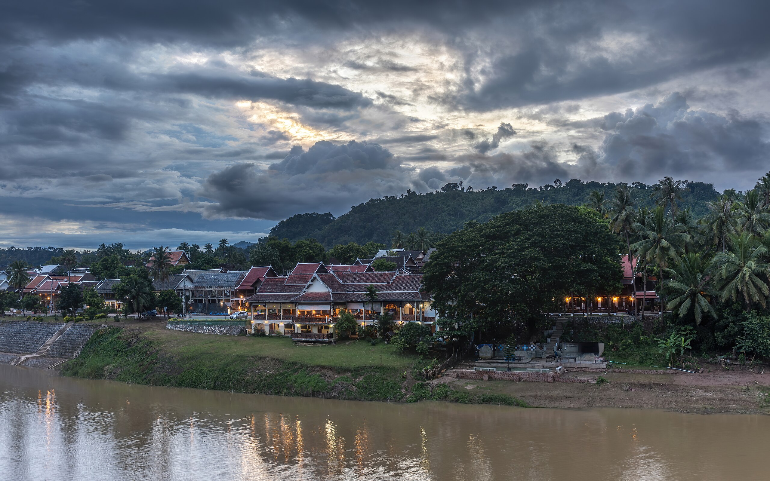
Illuminated buildings on Nam Khan river bank with cloudy sky at sunset in Luang Prabang Laos
Summary
[edit]
| Description |
English: Illuminated buildings (Phamsai Houngchalern Restaurant) on the Nam Khan river bank, with cloudy sky at sunset, in Luang Prabang, Laos, view to the West from Wat Phone Sa Ath Phatiya Moungkoun.
Français : Bâtiments éclairés (Restaurant Phamsai Houngchalern) sur la berge de la rivière Nam Khan, avec un ciel nuageux au coucher du soleil, à Luang Prabang, Laos, vue vers l'Ouest depuis le Wat Phone Sa Ath Phatiya Moungkoun. |
| Date | |
| Source | Own work |
| Author | Basile Morin |
| Camera location | | View this and other nearby images on: OpenStreetMap |
|---|
Licensing
[edit]
I, the copyright holder of this work, hereby publish it under the following license:
This file is licensed under the Creative Commons Attribution-Share Alike 4.0 International license.
- You are free:
- to share – to copy, distribute and transmit the work
- to remix – to adapt the work
- Under the following conditions:
- attribution – You must give appropriate credit, provide a link to the license, and indicate if changes were made. You may do so in any reasonable manner, but not in any way that suggests the licensor endorses you or your use.
- share alike – If you remix, transform, or build upon the material, you must distribute your contributions under the same or compatible license as the original.
This image has been assessed using the Quality image guidelines and is considered a Quality image.
|
File history
Click on a date/time to view the file as it appeared at that time.
| Date/Time | Thumbnail | Dimensions | User | Comment | |
|---|---|---|---|---|---|
| current | 07:13, 29 November 2023 | | 6,720 × 4,200 (9.59 MB) | Basile Morin (talk | contribs) | a tiny tad brighter |
| 05:14, 29 November 2023 |  | 6,720 × 4,200 (9.24 MB) | Basile Morin (talk | contribs) | Uploaded own work with UploadWizard |
You cannot overwrite this file.
File usage on Commons
The following 4 pages use this file: