File:Imbler Area Mint Field (Union County, Oregon scenic images) (uniDA0023).jpg

Imbler_Area_Mint_Field_(Union_County,_Oregon_scenic_images)_(uniDA0023).jpg (488 × 324 pixels, file size: 48 KB, MIME type: image/jpeg)
Captions
Captions
| Description |
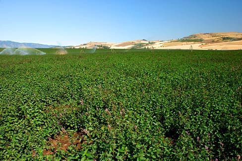
English: A mint field along Highway 82 north of Imbler. |
|||||
| Date | ||||||
| Source | ||||||
| Author |
English: Gary Halvorson, Oregon State Archives |
|||||
| Permission (Reusing this file) |
|
|||||
| Photo No. | uniDA0023 | |||||
| Camera | Nikon D80 Digital SLR | |||||
| Lens | Nikon AF-S DX Zoom-Nikkor 18-135mm f/3.5-5.6G IF-ED | |||||
| Dimensions | 3845 x 2553 pixels (300 dpi version) Available for purchase from the Oregon State Archives. | |||||
| Keywords | English: horizontal, Oregon, Union County, Imbler, mint field, peppermint field, irrigation, blue sky, agriculture, farm, farming, hill, Grande Ronde Valley |

File history
Click on a date/time to view the file as it appeared at that time.
| Date/Time | Thumbnail | Dimensions | User | Comment | |
|---|---|---|---|---|---|
| current | 21:49, 15 April 2012 | | 488 × 324 (48 KB) | Smallbot (talk | contribs) | Commons:Bots/Requests/Smallbot 2: Uploading scenic images from Oregon State Archives |
You cannot overwrite this file.
File usage on Commons
There are no pages that use this file.
_(uniDA0023).jpg&oldid=483928132)