File:Independent State of Croatia-1942.svg
原始文件 (SVG文件,尺寸为450 × 456像素,文件大小:500 KB)
说明
摘要[编辑]
描述Independent State of Croatia-1942.svg |
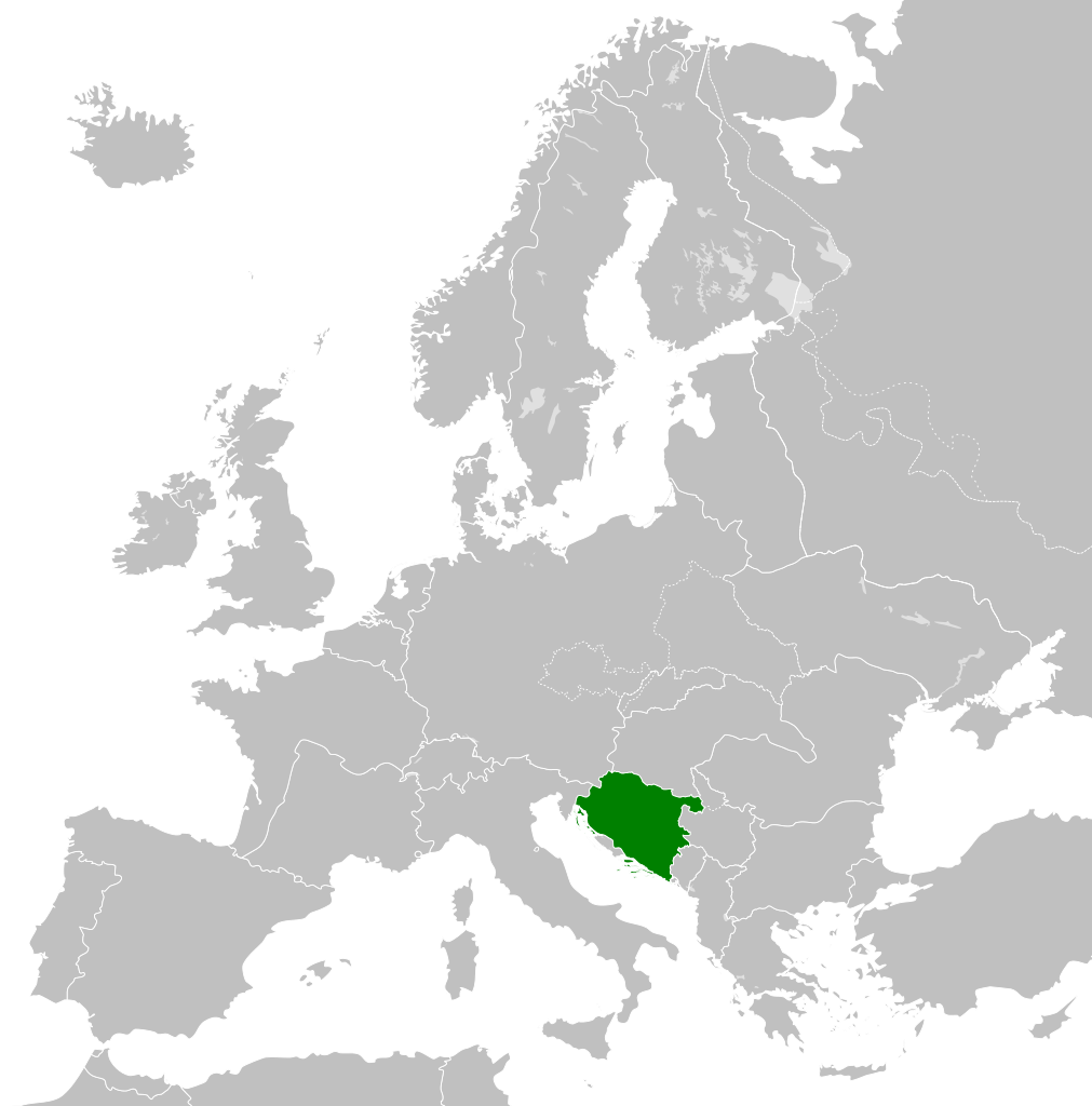
English: Independent State of Croatia 1942 |
日期 | |
来源 | 自己的作品 |
作者 | DIREKTOR |
授权 (二次使用本文件) |
我,本作品著作权人,特此采用以下许可协议发表本作品: 本文件采用知识共享署名-相同方式共享 4.0 国际许可协议授权。
|
文件历史
点击某个日期/时间查看对应时刻的文件。
日期/时间 | 缩略图 | 大小 | 用户 | 备注 | |
---|---|---|---|---|---|
当前 | 2015年1月22日 (四) 12:48 | 450 × 456(500 KB) | DIREKTOR(留言 | 贡献) | User created page with UploadWizard |
您不可以覆盖此文件。
文件用途
没有页面使用本文件。
全域文件用途
以下其他wiki使用此文件:
- af.wikipedia.org上的用途
- azb.wikipedia.org上的用途
- be-tarask.wikipedia.org上的用途
- bg.wikipedia.org上的用途
- es.wikipedia.org上的用途
- fa.wikipedia.org上的用途
- he.wikipedia.org上的用途
- id.wikipedia.org上的用途
- it.wikipedia.org上的用途
- ja.wikipedia.org上的用途
- mk.wikipedia.org上的用途
- ms.wikipedia.org上的用途
- ru.wikipedia.org上的用途
- sk.wikipedia.org上的用途
- th.wikipedia.org上的用途
- zh.wikipedia.org上的用途
元数据
此文件中包含有额外的信息。这些信息可能是由数码相机或扫描仪在创建或数字化过程中所添加。
如果文件已从其原始状态修改,某些细节可能无法完全反映修改后的文件。
简称 | Europe, 1942 |
---|---|
图像标题 | A map of Europe circa 1942, at the height of Nazi expansion. Based upon -{R|https://commons.wikimedia.org/wiki/File:Blank_map_of_Europe.svg}- the details of which follow.
A blank Map of Europe. Every country has an id which is its ISO-3166-1-ALPHA2 code in lower case. Members of the EU have a class="eu", countries in europe (which I found turkey to be but russia not) have a class="europe". Certain countries are further subdivided the United Kingdom has gb-gbn for Great Britain and gb-nir for Northern Ireland. Russia is divided into ru-kgd for the Kaliningrad Oblast and ru-main for the Main body of Russia. There is the additional grouping #xb for the "British Islands" (the UK with its Crown Dependencies - Jersey, Guernsey and the Isle of Man) Contributors. Original Image: (-{R|http://commons.wikimedia.org/wiki/Image:Europe_countries.svg}-) Júlio Reis (-{R|http://commons.wikimedia.org/wiki/User:Tintazul}-). Recolouring and tagging with country codes: Marian "maix" Sigler (-{R|http://commons.wikimedia.org/wiki/User:Maix}-) Improved geographical features: -{R|http://commons.wikimedia.org/wiki/User:W!B}-: Updated to reflect dissolution of Serbia & Montenegro: -{R|http://commons.wikimedia.org/wiki/User:Zirland}- Updated to include British Crown Dependencies as seperate entities and regroup them as "British Islands", with some simplifications to the XML and CSS: James Hardy (-{R|http://commons.wikimedia.org/wiki/User:MrWeeble}-) Validated (-{R|http://commons.wikimedia.org/wiki/User:CarolSpears}-) Changed the country code of Serbia to RS per -{R|http://en.wikipedia.org/wiki/Serbian_country_codes}- and the file -{R|http://www.iso.org/iso/iso3166_en_code_lists.txt}- (-{R|http://commons.wikimedia.org/wiki/User:TimothyBourke}-) Uploaded on behalf of User:Checkit, direct complaints to him plox: 'Moved countries out of the "outlines" group, removed "outlines" style class, remove separate style information for Russia' (-{R|http://commons.wikimedia.org/wiki/User:Collard}-) Updated various coastlines and boarders and added various islands not previously shown (details follow). Added Kosovo and Northern Cyprus as disputed territories. Moved major lakes to their own object and added more. List of updated boarders/coastlines: British Isles (+ added Isle of Wight, Skye, various smaller islands), the Netherlands, Germany, Czech Republic, Denmark, Sweden, Finland, Poland, Kaliningrad Oblast of the Russian Federation (and minor tweaks to Lithuania), Ukraine, Moldova (minor), Romania, Bulgaria, Turkey, Greece, F.Y.R. Macedonia, Serbia, Bosnia and Herzegovina, Montenegro, Albania, Croatia, Italy (mainland and Sicily), Malta (-{R|http://commons.wikimedia.org/wiki/User:Alphathon}-). Added Bornholm (-{R|http://commons.wikimedia.org/wiki/User:Heb}-). |
宽度 | 450 |
高度 | 456 |