File:India Orissa locator map.svg

پروندهٔ اصلی (پروندهٔ اسویجی، با ابعاد ۱٬۵۷۴ × ۱٬۷۳۸ پیکسل، اندازهٔ پرونده: ۸۳۶ کیلوبایت)
گزینهها
عنوان
| عنوان مقاله |
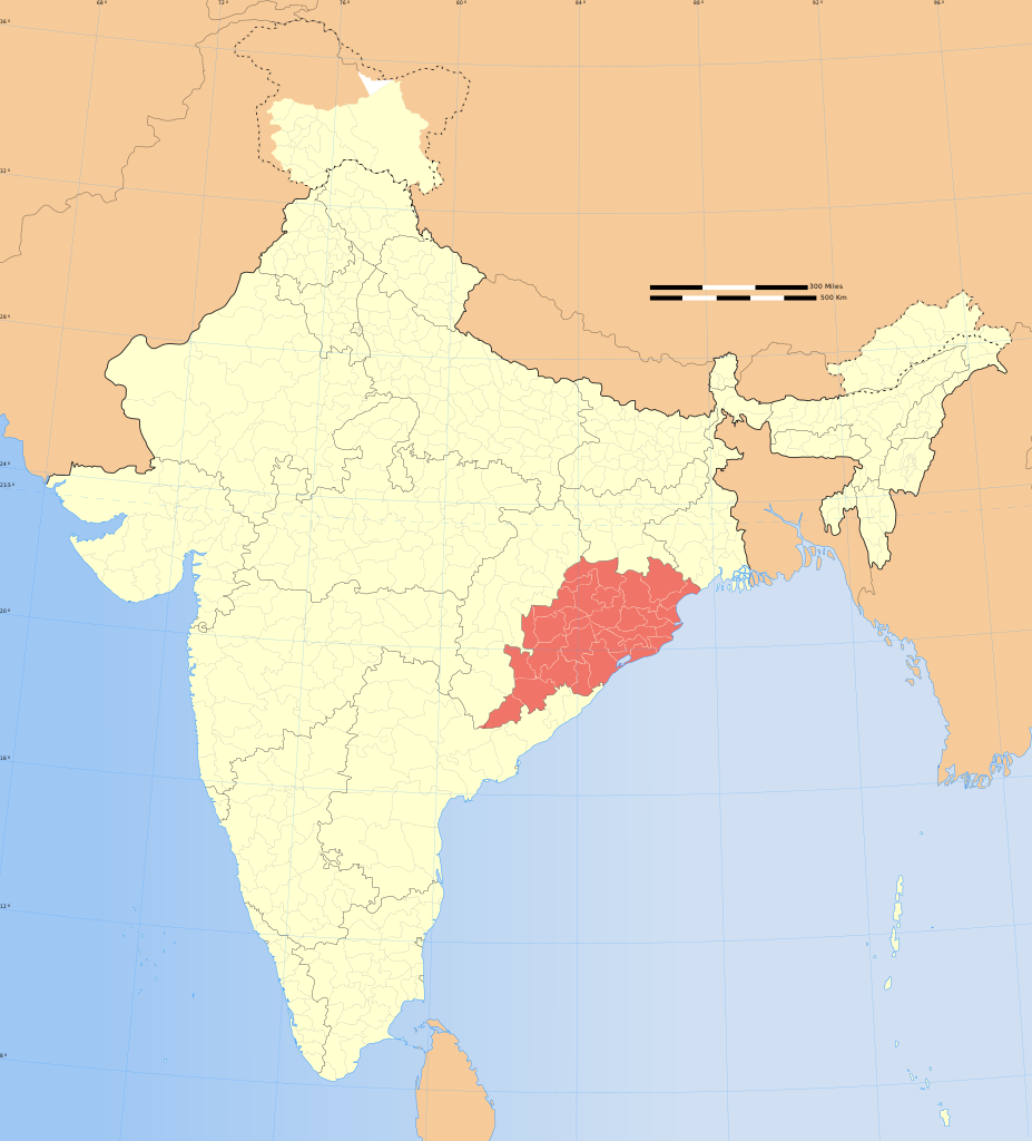
Orissa locator map |
|||||||||
| توضیحات |
Locator map of the state of Orissa, India with district boundaries. |
|||||||||
| اختصارات نقشه |
 |
|||||||||
| تاریخ | ||||||||||
| منبع |
اثر شخصی |
|||||||||
| پدیدآورنده |
|
|||||||||
| اجازهنامه (استفادهٔ مجدد از این پرونده) |
من، صاحب حقوق قانونی این اثر، به این وسیله این اثر را تحث اجازهنامهٔ ذیل منتشر میکنم: این پرونده با اجازهنامهٔ کریتیو کامانز Attribution-Share Alike 3.0 سازگار نشده منتشر شده است.
|
|||||||||
| دادههای زمینزمانی | ||||||||||
| Date depicted | نیمهٔ دوم سدهٔ 20 و سدهٔ 21 | |||||||||
| Spatial reference system | conic | |||||||||
| جعبهٔ حدود |
|
|||||||||
| زمینمرجعسازی | اگر نامناسب بود لطفاً warp_status = skie را برای مخفیسازی تنظیم کنید. | |||||||||
| دادههای آرشیوی | ||||||||||
| یادداشتها | Part of WikiProject India Maps | |||||||||
| دیگر نسخهها |
|
|||||||||


Notes
[ویرایش]Depiction of India's borders
[ویرایش]- The territorial boundaries of India are shown as per the actual ground situation in accordance with international practices followed by the United Nations ([1], [2]) and the National Geographic Society ([3], [4])
- This map is meant to be for illustrative purpose only and is not authenticated by official government sources. Please check the list of sources and references used to create the map for a measure of accuracy and verifiability.
- The usage of these maps in India, Pakistan and China are governed by different laws that restrict depictions of boundaries other than what is officially recognized by the state. Please check local laws and modify the map accordingly before use.
Explanation of disputed boundaries
[ویرایش]

- Boundary of Indian claim : The territory India claims is legally theirs, but the claim is disputed by China and Pakistan.
- Line of Control/Line of Conflict : The de facto administrative boundary recognised by the international community. This UN ceasefire line is considered as a temporary solution to an ongoing conflict since the departure of the British Raj.
Borders of disputed regions
[ویرایش]The depicted extent of the former territory of the British Indian Empire, succeeded by Republic of India, may not be accepted by few countries as legal due to ongoing border disputes:
- The northern Himalayan region of the disputed territory Indian-administered Kashmir is claimed by India including (Pakistan-administered Kashmir) and the Chinese-occupied territory of (Ladakh plateau). Since 1972, it is divided between all three countries. See also Line of Control and Line of Actual Control.
- Siachen glacier (shown white) is an actively contested region between India and Pakistan. Since 1984, the region is under Indian control.
- The northeastern territory of Arunachal Pradesh is almost entirely claimed by China as part of its Tibetan territory.
- Minor areas of eastern Kashmir's Ladakh division, Himachal Pradesh and Uttarakhand on the Chinese frontier are claimed by China. These areas are under Indian control.
- A small area of Uttarakhand adjoining the Nepal border along the Sarda river is disputed between the two countries.
For a detailed map of all disputed regions in South Asia, see Image:India disputed areas map.svg
Internal borders
[ویرایش]The borders of the state of Meghalaya, Assam and Arunachal Pradesh are shown as interpreted from the North-Eastern Areas (Reorganisation) Act, 1971, but has yet to be verified.
Territorial waters
[ویرایش]The limit of the territorial waters of India extends to twelve nautical miles measured from the appropriate baseline. See this for more information.
تاریخچهٔ پرونده
روی تاریخ/زمانها کلیک کنید تا نسخهٔ مربوط به آن هنگام را ببینید.
| تاریخ/زمان | بندانگشتی | ابعاد | کاربر | توضیح | |
|---|---|---|---|---|---|
| کنونی | ۲۹ دسامبر ۲۰۰۸، ساعت ۰۷:۰۹ | | ۱٬۵۷۴ در ۱٬۷۳۸ (۸۳۶ کیلوبایت) | Planemad (بحث | مشارکتها) | {{Information |Description= |Source= |Date= |Author= |Permission= |other_versions= }} |
| ۶ اوت ۲۰۰۶، ساعت ۱۷:۴۱ |  | ۱٬۶۳۹ در ۱٬۸۵۲ (۷۵۱ کیلوبایت) | Planemad (بحث | مشارکتها) | {{WikiProject_India_Maps |Title=Orissa locator map |Description=Locator map of the state of Orissa, India with district boundaries. |Source=. |Date=August 6 2006 |Author=w:user:Nichalpw:user:Planemad |Thumbdir=CHANGE }} |
نمیتوانید این پرونده را رونویسی کنید.
کاربرد پرونده
صفحههای زیر از این تصویر استفاده میکنند:
- Palaces in India
- File:India Odisha locator map.svg (تغییرمسیر پرونده)
- File:India Orissa locator map.svg
کاربرد سراسری پرونده
ویکیهای دیگر زیر از این پرونده استفاده میکنند:
- کاربرد در as.wikipedia.org
- کاربرد در ba.wikipedia.org
- کاربرد در be.wikipedia.org
- کاربرد در bg.wikipedia.org
- کاربرد در bn.wikipedia.org
- کاربرد در br.wikipedia.org
- کاربرد در cdo.wikipedia.org
- کاربرد در ceb.wikipedia.org
- کاربرد در da.wikipedia.org
- کاربرد در en.wikipedia.org
- Kadampara
- Utkal Plains
- Fulta
- Jagatpur, India
- Konark Beach
- Bamra State
- Template:Odisha-geo-stub
- Baisipalli Wildlife Sanctuary
- Panikoili
- Hirakud
- Balagoda
- Balimela
- Balugaon
- Bangura, India
- Belagachhia
- Byasanagar
- Chandapur
- Chandili
- Charbatia
- Dadhapatna
- Daitari
- Deracolliery Township
- Dungamal
- Fertilizer Corporation of India Township
- G. Udayagiri
- Ghantapada
- Hatibandha
- Jhumpura
- Kantilo
- Kashinagara
- Khaliapali
- Khariar Road
- Khatiguda
- Kotpad
- Lapanga
- Lattikata
- Makundapur
- Nuapatna
- OCL Industrial Township
- Panposh
- Pratapsasan
نمایش استفادههای سراسری از این پرونده.