File:India district map (de-facto).svg
跳至導覽
跳至搜尋

此 SVG 檔案的 PNG 預覽的大小:557 × 600 像素。 其他解析度:223 × 240 像素 | 446 × 480 像素 | 713 × 768 像素 | 951 × 1,024 像素 | 1,902 × 2,048 像素 | 1,500 × 1,615 像素。
原始檔案 (SVG 檔案,表面大小:1,500 × 1,615 像素,檔案大小:3.1 MB)
說明
說明
添加單行說明來描述出檔案所代表的內容
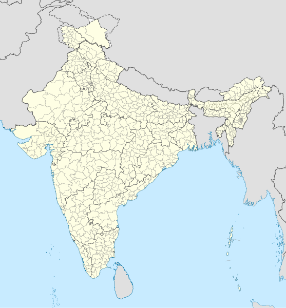
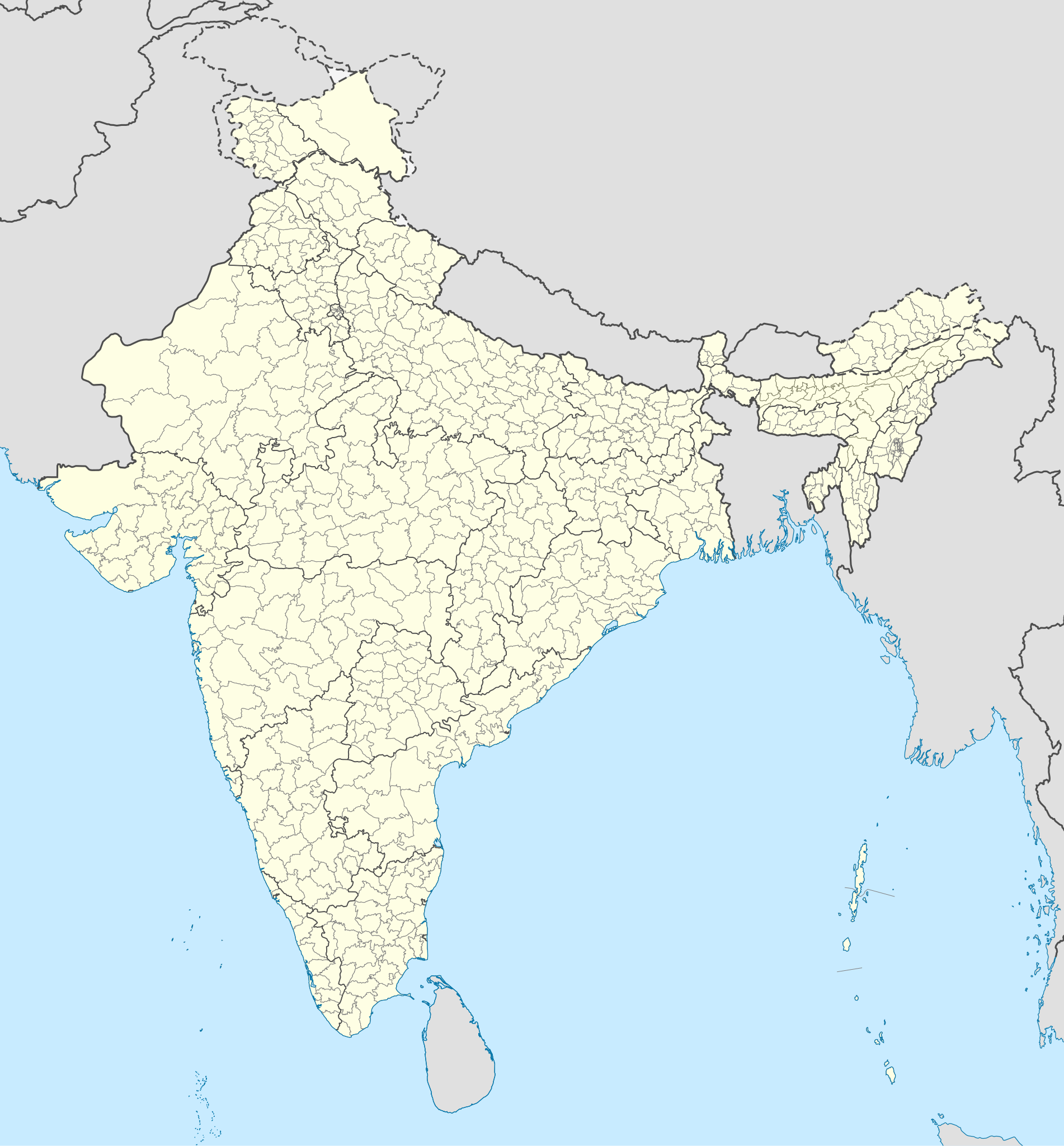
Outlining the various states and districts in India. Disputed territories are excluded.
Any autoconfirmed user can overwrite this file from the same source. Please ensure that overwrites comply with the guideline.
摘要
[編輯].svg&action=edit§ion=1)
| 描述 |
English: Map of the districts of India. |
| 日期 | |
| 來源 |
本檔案衍生自: India Telangana locator map.svg |
| 作者 | Superbenjamin |
授權條款
[編輯].svg&action=edit§ion=2)
我,本作品的著作權持有者,決定用以下授權條款發佈本作品:
此檔案採用創用CC 姓名標示-相同方式分享 4.0 國際授權條款。
- 您可以自由:
- 分享 – 複製、發佈和傳播本作品
- 重新修改 – 創作演繹作品
- 惟需遵照下列條件:
- 姓名標示 – 您必須指名出正確的製作者,和提供授權條款的連結,以及表示是否有對內容上做出變更。您可以用任何合理的方式來行動,但不得以任何方式表明授權條款是對您許可或是由您所使用。
- 相同方式分享 – 如果您利用本素材進行再混合、轉換或創作,您必須基於如同原先的相同或兼容的條款,來分布您的貢獻成品。
檔案歷史
點選日期/時間以檢視該時間的檔案版本。
| 日期/時間 | 縮圖 | 尺寸 | 使用者 | 備註 | |
|---|---|---|---|---|---|
| 目前 | 2022年5月2日 (一) 05:18 | | 1,500 × 1,615(3.1 MB) | C1MM(留言 | 貢獻) | Updated to 2022 |
| 2022年2月6日 (日) 16:46 |  | 1,643 × 1,856(1.88 MB) | Milenioscuro(留言 | 貢獻) | standard colors | |
| 2021年9月22日 (三) 04:34 |  | 1,643 × 1,856(1.88 MB) | C1MM(留言 | 貢獻) | Removed duplicate districts | |
| 2021年9月22日 (三) 04:09 |  | 1,643 × 1,856(1.89 MB) | C1MM(留言 | 貢獻) | Added far more accurate district boundaries | |
| 2021年2月16日 (二) 20:23 |  | 1,643 × 1,856(2 MB) | C1MM(留言 | 貢獻) | Added better district boundaries | |
| 2020年11月13日 (五) 06:00 |  | 1,643 × 1,856(1.9 MB) | C1MM(留言 | 貢獻) | Updated shapefiles, made district boundaries more accurate | |
| 2020年7月25日 (六) 21:00 |  | 1,643 × 1,856(1.65 MB) | C1MM(留言 | 貢獻) | Fixed state and intl border colours | |
| 2020年7月25日 (六) 05:00 |  | 1,643 × 1,856(1.64 MB) | C1MM(留言 | 貢獻) | Reformatted for easier use, updated district map to situation as of July 2020 | |
| 2017年3月15日 (三) 20:34 |  | 1,643 × 1,856(800 KB) | Superbenjamin(留言 | 貢獻) | User created page with UploadWizard |
無法覆蓋此檔案。
檔案用途
下列3個頁面有用到此檔案:
全域檔案使用狀況
以下其他 wiki 使用了這個檔案:
- anp.wikipedia.org 的使用狀況
- arz.wikipedia.org 的使用狀況
- bh.wikipedia.org 的使用狀況
- bn.wikipedia.org 的使用狀況
- de.wikipedia.org 的使用狀況
- en.wikipedia.org 的使用狀況
- es.wikipedia.org 的使用狀況
- fa.wikipedia.org 的使用狀況
- fr.wikipedia.org 的使用狀況
- hif.wikipedia.org 的使用狀況
- it.wikipedia.org 的使用狀況
- ko.wikipedia.org 的使用狀況
- mai.wikipedia.org 的使用狀況
- ne.wikipedia.org 的使用狀況
- nl.wikipedia.org 的使用狀況
- pnb.wikipedia.org 的使用狀況
- sat.wikipedia.org 的使用狀況
- simple.wikipedia.org 的使用狀況
- ta.wikipedia.org 的使用狀況
- tcy.wikipedia.org 的使用狀況
- th.wikipedia.org 的使用狀況
- tr.wikipedia.org 的使用狀況
- tum.wikipedia.org 的使用狀況
- uk.wikipedia.org 的使用狀況
- ur.wikipedia.org 的使用狀況
- vi.wikipedia.org 的使用狀況
- zh.wikipedia.org 的使用狀況
.svg&oldid=897138457)