File:IranKhorasan.png
Jump to navigation
Jump to search
Size of this preview: 648 × 599 pixels. Other resolutions: 260 × 240 pixels | 519 × 480 pixels | 879 × 813 pixels.
Original file (879 × 813 pixels, file size: 25 KB, MIME type: image/png)
Captions
Captions
Add a one-line explanation of what this file represents
- From en:Image:IranKhorasan.png
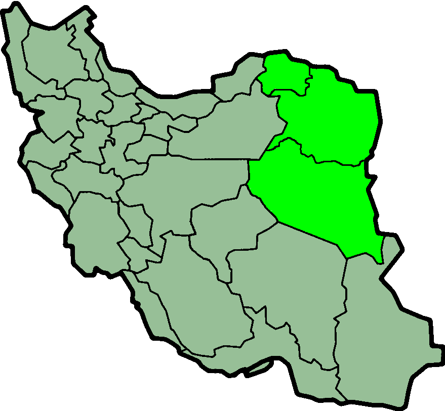
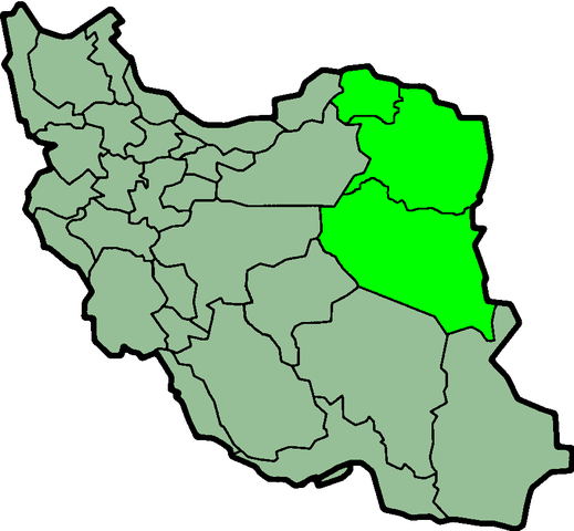
- Khorasan Province of Iran

|
File:IranKhorasan-SVG.svg is a vector version of this file. It should be used in place of this PNG file.
File:IranKhorasan.png → File:IranKhorasan-SVG.svg
For more information, see Help:SVG. |
 |

|
Permission is granted to copy, distribute and/or modify this document under the terms of the GNU Free Documentation License, Version 1.2 or any later version published by the Free Software Foundation; with no Invariant Sections, no Front-Cover Texts, and no Back-Cover Texts. A copy of the license is included in the section entitled GNU Free Documentation License. |
| This file is licensed under the Creative Commons Attribution-Share Alike 3.0 Unported license. | ||
| ||
| This licensing tag was added to this file as part of the GFDL licensing update. |
File history
Click on a date/time to view the file as it appeared at that time.
| Date/Time | Thumbnail | Dimensions | User | Comment | |
|---|---|---|---|---|---|
| current | 23:57, 23 June 2013 | | 879 × 813 (25 KB) | BasilLeaf (talk | contribs) | بروزرسانی مرز بین استانهای یزد و خراسان جنوبی، تهران و البرز، فارس و یزد و اصفهان |
| 11:51, 12 November 2010 |  | 879 × 813 (41 KB) | M samadi (talk | contribs) | Quality improved, Border of some provinces updated. | |
| 22:48, 8 November 2006 |  | 200 × 185 (10 KB) | Raymond (talk | contribs) | transparent background, improved color palette | |
| 06:06, 6 September 2005 |  | 200 × 185 (22 KB) | Roozbeh (talk | contribs) | updated with new Khorasan(s) and expandion of Yazd | |
| 11:23, 20 May 2005 |  | 200 × 185 (20 KB) | Airunp (talk | contribs) | From en:Image:IranKhorasan.png province of Iran {{GFDL}} en:Khorasan es:Khorasán Category:Maps of Iran |
You cannot overwrite this file.
File usage on Commons
There are no pages that use this file.
File usage on other wikis
The following other wikis use this file:
- Usage on ar.wikipedia.org
- Usage on arz.wikipedia.org
- Usage on ba.wikipedia.org
- Usage on be.wikipedia.org
- Usage on cv.wikipedia.org
- Usage on diq.wikipedia.org
- Usage on en.wikipedia.org
- Usage on eo.wikipedia.org
- Usage on fa.wikiquote.org
- Usage on gl.wikipedia.org
- Usage on hak.wikipedia.org
- Usage on hy.wikipedia.org
- Usage on id.wikipedia.org
- Usage on incubator.wikimedia.org
- Usage on it.wikipedia.org
- Usage on kk.wikipedia.org
- Usage on ku.wikipedia.org
- Usage on la.wikipedia.org
- Usage on mk.wikipedia.org
- Usage on nl.wikipedia.org
- Usage on pl.wikipedia.org
- Usage on pl.wiktionary.org
- Usage on ru.wikipedia.org
- Usage on sv.wikipedia.org
- Usage on tr.wikipedia.org
- Usage on uk.wikipedia.org
- Usage on uz.wikipedia.org