File:Isla Brasilera 57.62646W 30.18248S.jpg
Jump to navigation
Jump to search

Size of this preview: 800 × 600 pixels. Other resolutions: 320 × 240 pixels | 640 × 480 pixels | 1,024 × 768 pixels.
Original file (1,024 × 768 pixels, file size: 303 KB, MIME type: image/jpeg)
Captions
Captions
Add a one-line explanation of what this file represents
Summary
[edit]
| Description |
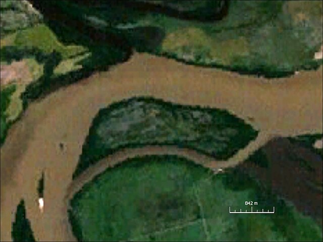
English: Isla Brasilera, river island, northern Uruguay/southeastern Argentina |
| Date | circa 2000 |
| Source | NASA World Wind Screenshot |
| Author | NASA |
Licensing
[edit]
| This image is in the public domain because it is a screenshot from NASA’s globe software World Wind using a public domain layer, such as Blue Marble, MODIS, Landsat, SRTM, USGS or GLOBE.
|
 |
File history
Click on a date/time to view the file as it appeared at that time.
| Date/Time | Thumbnail | Dimensions | User | Comment | |
|---|---|---|---|---|---|
| current | 19:44, 6 April 2010 | | 1,024 × 768 (303 KB) | Ratzer (talk | contribs) | {{Information |Description={{en|1=Isla Brasilera, river island, northern Uruguay/southeastern Argentina}} |Source=NASA World Wind Screenshot |Author=NASA |Date=2000? |Permission= |other_versions= }} Category:River Island [[Category:Disputed territori |
You cannot overwrite this file.
File usage on Commons
The following page uses this file:
File usage on other wikis
The following other wikis use this file:
- Usage on arz.wikipedia.org
- Usage on ca.wikipedia.org
- Usage on ceb.wikipedia.org
- Usage on cs.wikipedia.org
- Usage on de.wikipedia.org
- Usage on he.wikipedia.org
- Usage on pt.wikipedia.org
- Usage on vi.wikipedia.org
- Usage on www.wikidata.org