File:Isle of Wight Map.png
Jump to navigation
Jump to search

Size of this preview: 800 × 548 pixels. Other resolutions: 320 × 219 pixels | 640 × 438 pixels | 878 × 601 pixels.
Original file (878 × 601 pixels, file size: 48 KB, MIME type: image/png)
Captions
Captions
Add a one-line explanation of what this file represents

|
This file was moved to Wikimedia Commons from en.wikipedia using a bot script. All source information is still present. It requires review. Additionally, there may be errors in any or all of the information fields; information on this file should not be considered reliable and the file should not be used until it has been reviewed and any needed corrections have been made. Once the review has been completed, this template should be removed. For details about this file, see below. Check now! |
| Description |
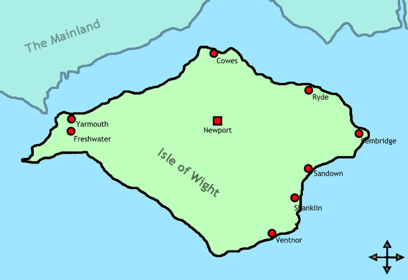
English: Map of the Isle of Wight. Together with placenames and where it is in relation to the Mainland. |
| Date | 4 June 2009 (original upload date) |
| Source | Transferred from en.wikipedia to Commons by Grillo using CommonsHelper. |
| Author | Bohemian Arcade at English Wikipedia |
Licensing[edit]
Bohemian Arcade at English Wikipedia, the copyright holder of this work, hereby publishes it under the following license:
This file is licensed under the Creative Commons Attribution 3.0 Unported license.
Attribution: Bohemian Arcade at English Wikipedia
- You are free:
- to share – to copy, distribute and transmit the work
- to remix – to adapt the work
- Under the following conditions:
- attribution – You must give appropriate credit, provide a link to the license, and indicate if changes were made. You may do so in any reasonable manner, but not in any way that suggests the licensor endorses you or your use.
Original upload log[edit]
The original description page was here. All following user names refer to en.wikipedia.
- 2009-06-04 17:43 Bohemian Arcade 878×601× (48765 bytes) Removal of name tag at bottom left
- 2009-06-04 17:38 Bohemian Arcade 878×601× (50652 bytes) Map of the Isle of Wight. Together with placenames and where it is in relation to the Mainland.
File history
Click on a date/time to view the file as it appeared at that time.
| Date/Time | Thumbnail | Dimensions | User | Comment | |
|---|---|---|---|---|---|
| current | 03:11, 15 August 2009 | | 878 × 601 (48 KB) | File Upload Bot (Magnus Manske) (talk | contribs) | {{BotMoveToCommons|en.wikipedia|year={{subst:CURRENTYEAR}}|month={{subst:CURRENTMONTHNAME}}|day={{subst:CURRENTDAY}}}} {{Information |Description={{en|Map of the Isle of Wight. Together with placenames and where it is in relation to the Mainland.}} |Sour |
You cannot overwrite this file.
File usage on Commons
There are no pages that use this file.
File usage on other wikis
The following other wikis use this file:
- Usage on he.wikipedia.org
- Usage on sv.wikipedia.org