File:JpLargeMap Hokkaido-E.png

Original file (1,260 × 919 pixels, file size: 29 KB, MIME type: image/png)
Captions
Captions
Summary[edit]
| Description |
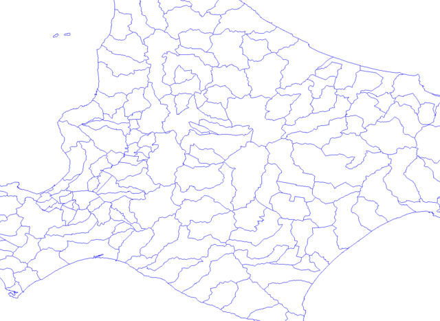
日本語: English: map of Japan, Hokkaido-E.
日本語: 北海道地方道央、市町村境界図 Scale x2
|
||
| Date | |||
| Source |
Own work |
||
| Author | |||
| Permission (Reusing this file) |
|
Licensing[edit]
| This file is licensed under the Creative Commons Attribution-Share Alike 3.0 Unported license. Subject to disclaimers. | ||
| ||
| This licensing tag was added to this file as part of the GFDL licensing update. |

|
Permission is granted to copy, distribute and/or modify this document under the terms of the GNU Free Documentation License, Version 1.2 or any later version published by the Free Software Foundation; with no Invariant Sections, no Front-Cover Texts, and no Back-Cover Texts. A copy of the license is included in the section entitled GNU Free Documentation License. Subject to disclaimers. |
File history
Click on a date/time to view the file as it appeared at that time.
| Date/Time | Thumbnail | Dimensions | User | Comment | |
|---|---|---|---|---|---|
| current | 06:22, 21 January 2004 | | 1,260 × 919 (29 KB) | Koba-chan (talk | contribs) | 北海道地方道央、市町村境界図 Scale x2 |
You cannot overwrite this file.
File usage on Commons
There are no pages that use this file.