File:KG-Ysyk-Kol-Tong.svg
Jump to navigation
Jump to search

Size of this PNG preview of this SVG file: 800 × 598 pixels. Other resolutions: 320 × 239 pixels | 640 × 478 pixels | 1,024 × 766 pixels | 1,280 × 957 pixels | 2,560 × 1,914 pixels | 935 × 699 pixels.
Original file (SVG file, nominally 935 × 699 pixels, file size: 1.39 MB)
Captions
Captions
KG-Ysyk-Kol-Tong
Summary
[edit]
| Description |
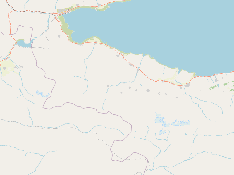
English: Kyrgyzstan, Ysyk-Kol province, Tong district |
| Date | |
| Source | openstreetmap.org |
| Author | OpenStreetMap contributors |
Licensing
[edit]
| Description |
This map was created from OpenStreetMap project data, collected by the community. This map may be incomplete, and may contain errors. Don't rely solely on it for navigation. |
|||
| Date | (see file history) | |||
| Source | openstreetmap.org | |||
| Creator |
OpenStreetMap contributors |
|||
| Permission (Reusing this file) |
OpenStreetMap data is available under the Open Database License (details). Map tiles are licensed under the Creative Commons Attribution-ShareAlike 2.0 license (CC-BY-SA 2.0).
This file is licensed under the Creative Commons Attribution-Share Alike 2.0 Generic license.
|
|||
| Georeferencing | If inappropriate please set warp_status = skip to hide. |
File history
Click on a date/time to view the file as it appeared at that time.
| Date/Time | Thumbnail | Dimensions | User | Comment | |
|---|---|---|---|---|---|
| current | 21:41, 12 December 2021 | | 935 × 699 (1.39 MB) | Kmaksat (talk | contribs) | Uploaded a work by OpenStreetMap contributors from openstreetmap.org with UploadWizard |
You cannot overwrite this file.
File usage on Commons
There are no pages that use this file.
File usage on other wikis
The following other wikis use this file:
- Usage on en.wikipedia.org
- Usage on ky.wikipedia.org
- Usage on ru.wikipedia.org
- Тузкёль
- Тонский район
- Боконбаево
- Ала-Баш
- Бар-Булак
- Дён-Талаа
- Калкагар
- Кызыл-Туу (Иссык-Кульская область)
- Кара-Коо
- Тогуз-Булак (Тонский район)
- Кёль-Тёр
- Конур-Олён
- Кёк-Мойнок-Первое
- Кёк-Мойнок-Второе
- Ак-Олён
- Ак-Сай (Болот Мамбетовский аильный округ)
- Джер-Уй
- Кёк-Сай (Иссык-Кульская область)
- Эшперово
- Арчалы (Иссык-Кульская область)
- Каджи-Саз
- Ак-Сай (Тонский аильный округ)
- Тон (село)
- Туура-Суу (Тёрт-Кульский аильный округ)
- Темир-Канат
- Тёрт-Куль
- Туура-Суу (Улаколский аильный округ)
- Кара-Шаар
- Кара-Талаа
- Шор-Булак
- Оттук (Тонский район)
- Шаблон:ПозКарта Кыргызстан Иссык-Кульская область Тонский район
- Шаблон:Карта Тонского района
- Usage on si.wikipedia.org