File:Kaart van de geographische ligging der jurisdictien schoutampt en schependom Lochem (uitsnede De Heest).jpg
Jump to navigation
Jump to search

Size of this preview: 800 × 470 pixels. Other resolutions: 320 × 188 pixels | 640 × 376 pixels | 1,024 × 601 pixels | 1,280 × 751 pixels | 1,843 × 1,082 pixels.
Original file (1,843 × 1,082 pixels, file size: 336 KB, MIME type: image/jpeg)
Captions
Captions
Add a one-line explanation of what this file represents
Summary
[edit].jpg&action=edit§ion=1)
| Description |
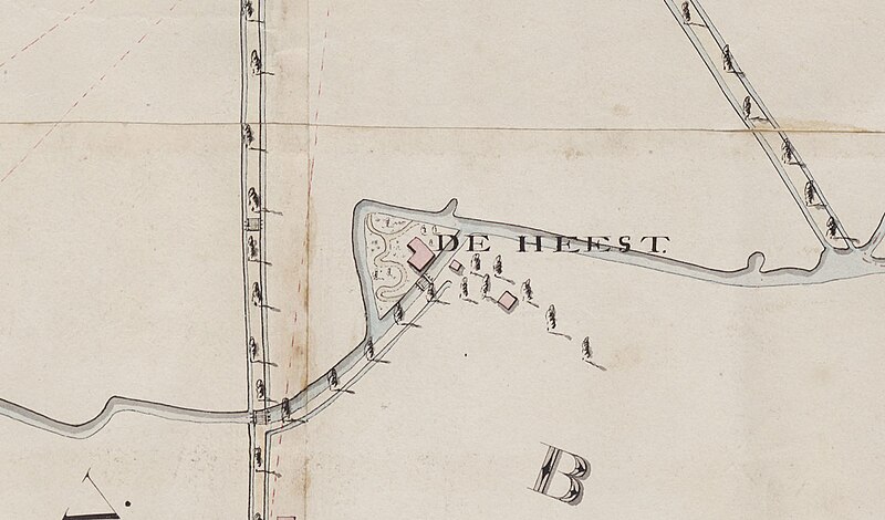
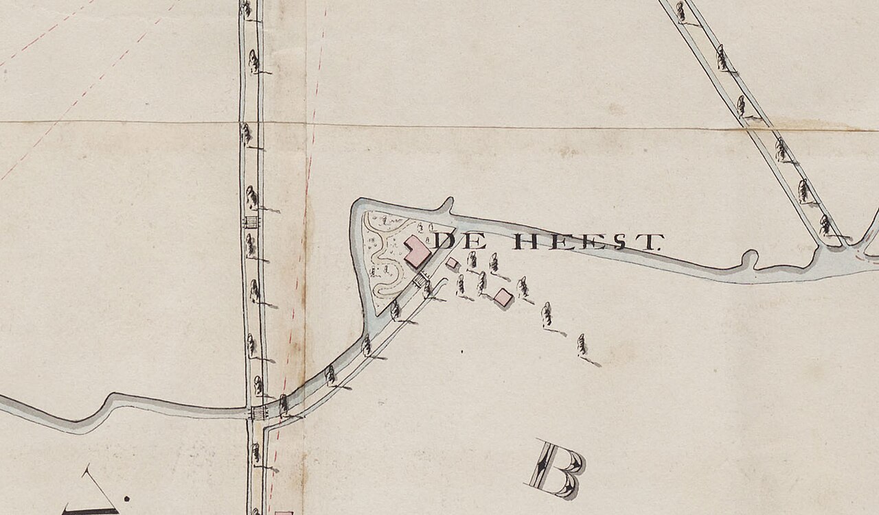
Nederlands: Kaart van de geographische ligging der jurisdictien schoutampt en schependom Lochem. |
| Date | between 1810 and 1811 |
| Source | Gelders Archief |
| Author | opgemeten door P. v[an] den Bosch ; J.C. Vogel ; gecarteerd door P. v[an] den Bosch |
| Other versions |
Licensing
[edit].jpg&action=edit§ion=2)
| This file is made available under the Creative Commons CC0 1.0 Universal Public Domain Dedication. | |
| The person who associated a work with this deed has dedicated the work to the public domain by waiving all of their rights to the work worldwide under copyright law, including all related and neighboring rights, to the extent allowed by law. You can copy, modify, distribute and perform the work, even for commercial purposes, all without asking permission.
|
File history
Click on a date/time to view the file as it appeared at that time.
| Date/Time | Thumbnail | Dimensions | User | Comment | |
|---|---|---|---|---|---|
| current | 12:34, 20 December 2023 | | 1,843 × 1,082 (336 KB) | Thieu1972 (talk | contribs) | File:Kaart van de geographische ligging der jurisdictien schoutampt en schependom Lochem.jpg cropped 94 % horizontally, 90 % vertically using CropTool with precise mode. |
You cannot overwrite this file.
File usage on Commons
The following page uses this file:
File usage on other wikis
The following other wikis use this file:
- Usage on nl.wikipedia.org
.jpg&oldid=878950467)