File:KahoolaweAerial.jpg
Jump to navigation
Jump to search
Size of this preview: 800 × 445 pixels. Other resolutions: 320 × 178 pixels | 640 × 356 pixels | 1,024 × 570 pixels | 1,760 × 980 pixels.
Original file (1,760 × 980 pixels, file size: 885 KB, MIME type: image/jpeg)
Captions
Captions
Add a one-line explanation of what this file represents
|
This is an image of a place or building that is listed on the National Register of Historic Places in the United States of America. Its reference number is 81000205. |
Summary
[edit]
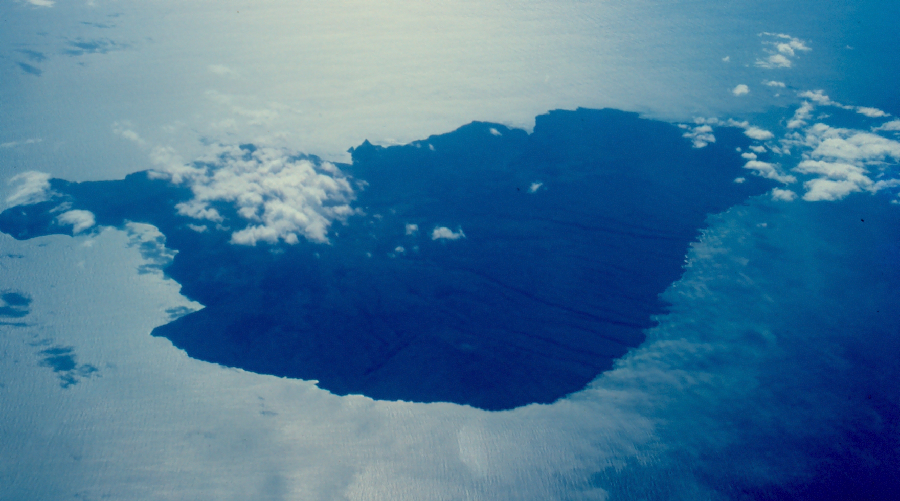
| Description | Kahoolawe from the air while flying over Alalakeiki Channel. Kanapou Bay is at center left in photo. Hawaii, USA |
| Date | not specified |
| Source | http://www.photolib.noaa.gov/htmls/line0406.htm |
| Author | Commander John Bortniak, NOAA Corps (ret.) |
| Location | Hawaii, USA |
| Object location | | View this and other nearby images on: OpenStreetMap |
|---|
Licensing
[edit]
This image is in the public domain because it contains materials that originally came from the U.S. National Oceanic and Atmospheric Administration, taken or made as part of an employee's official duties.
|
File history
Click on a date/time to view the file as it appeared at that time.
| Date/Time | Thumbnail | Dimensions | User | Comment | |
|---|---|---|---|---|---|
| current | 04:45, 22 April 2007 | | 1,760 × 980 (885 KB) | Seattle Skier (talk | contribs) | == Summary == {{Information |Description= Kahoolawe from the air while flying over Alalakeiki Channel. Kanapou Bay is at center left in photo. Hawaii, USA |Source=http://www.photolib.noaa.gov/coastline/line0406.htm |Date= ? |Location = |
You cannot overwrite this file.
File usage on Commons
There are no pages that use this file.
File usage on other wikis
The following other wikis use this file:
- Usage on azb.wikipedia.org
- Usage on en.wikipedia.org
- Usage on lt.wikipedia.org